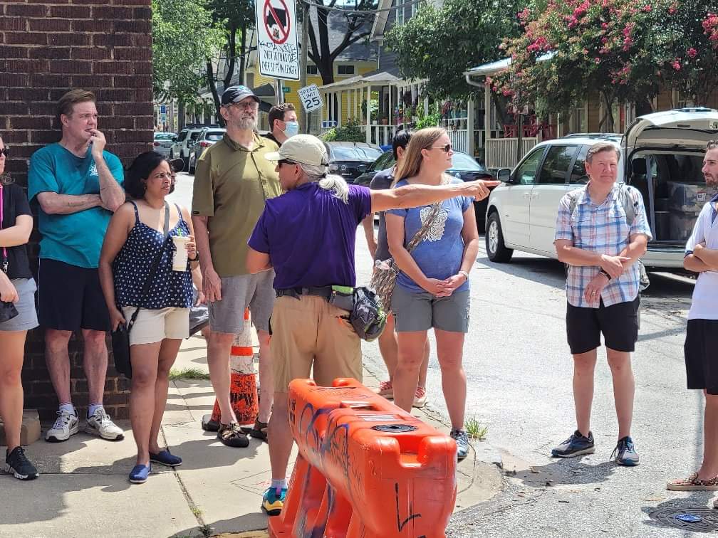
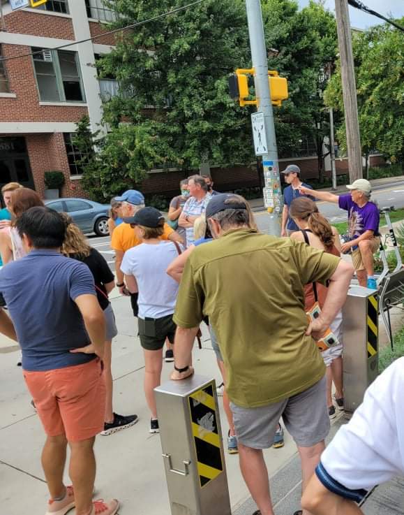
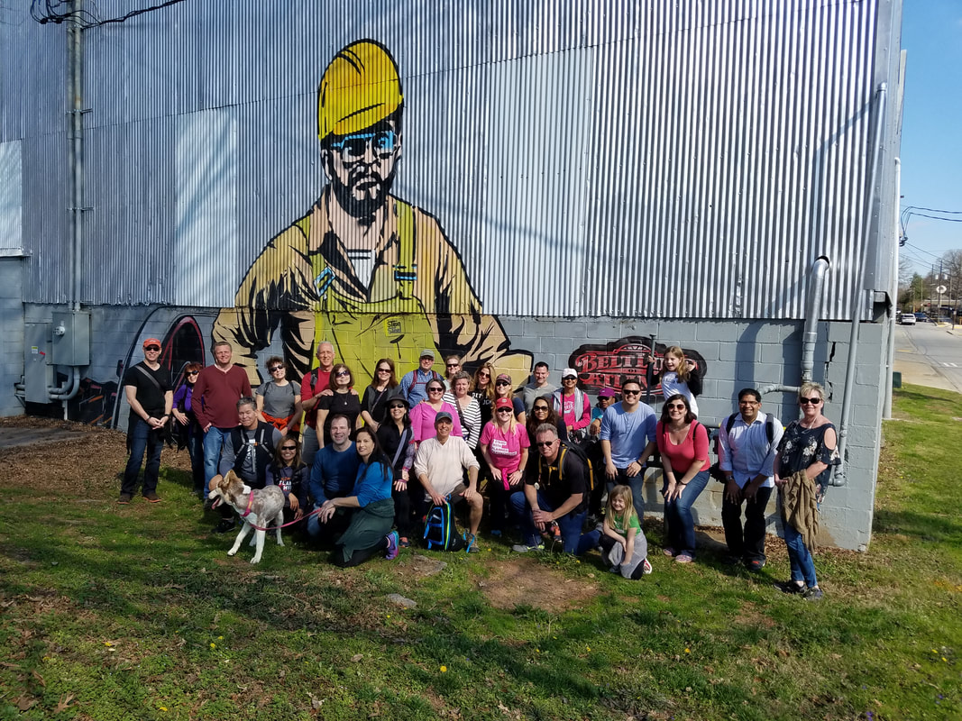
My Last Public TourOn August 16, 2014, I led my first public walking tour in ATL. On August 15, 2021, I led my last public walking tour. I created this page for those who are interested in knowing more about Atlanta, rich and interesting history and, especially, this very interesting part of Atlanta. I will be recording a video soon that will go into a lot more details about the maps and photos below.
In case you are interested, my next and final project will be to create an ecosystem of interactive maps to help people explore ATL on their own in the future. These will be based on what I have learned about the city during the past seven years. This webpage will give you an idea of what you can expect. |
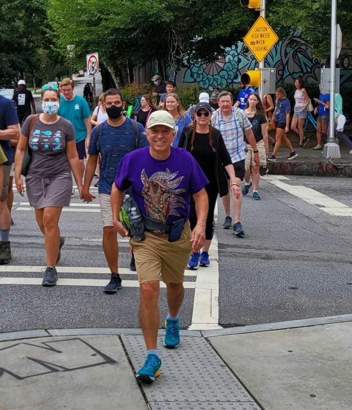
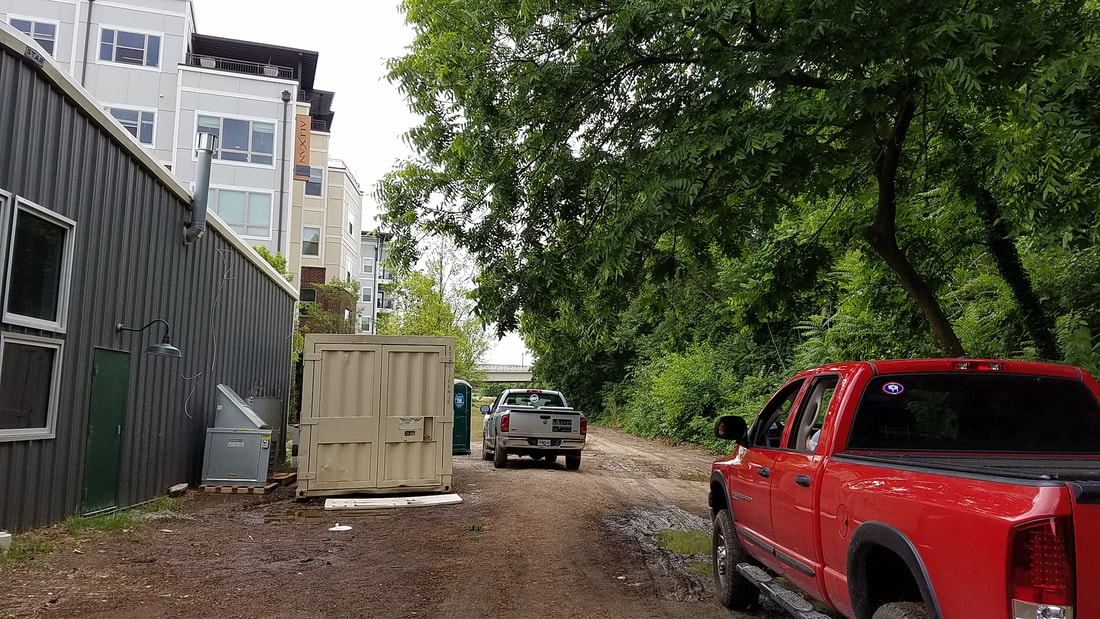
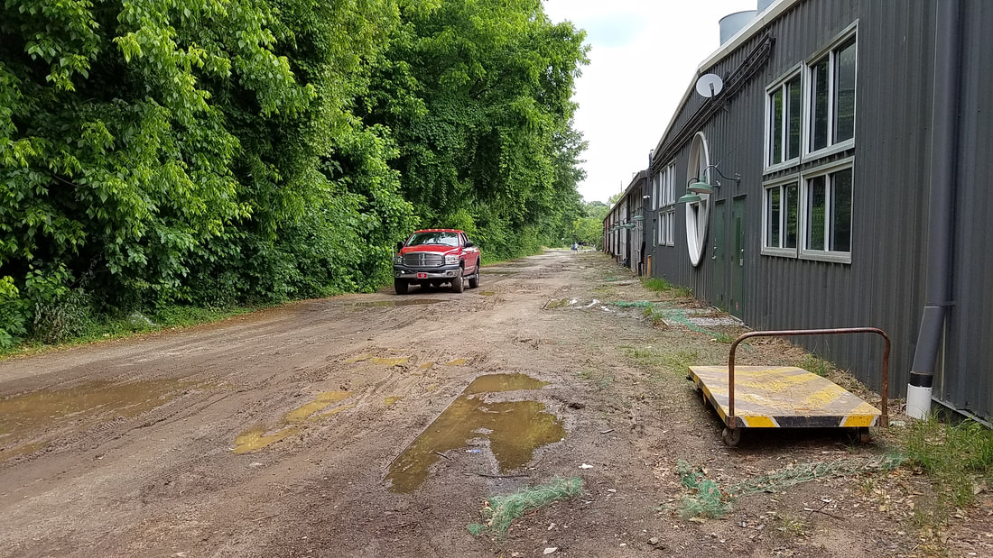
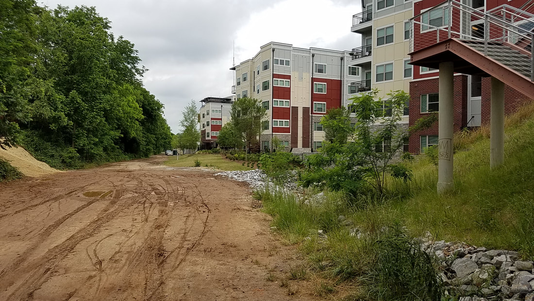
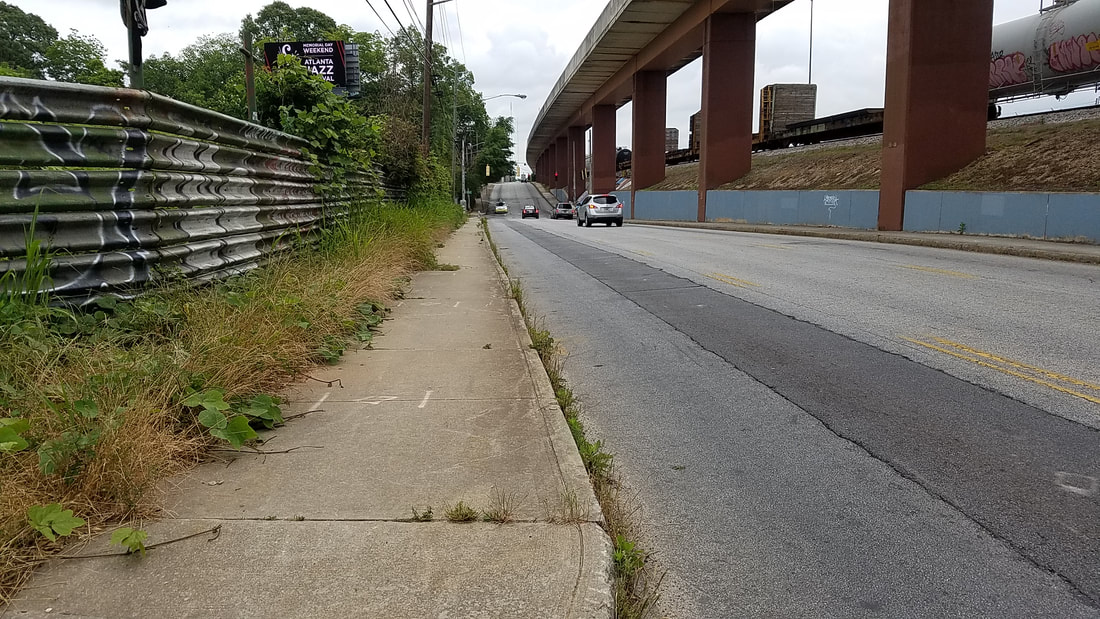
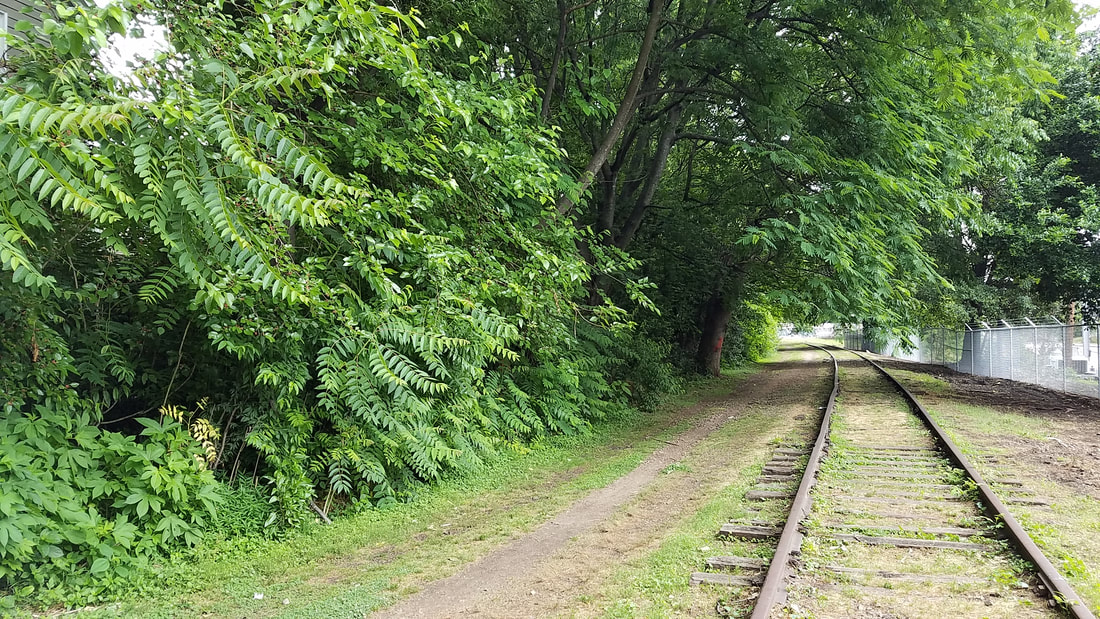
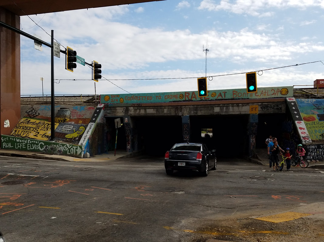
Coming out of the Krog Tunnel, Final Public Tour (08.15.21)
|
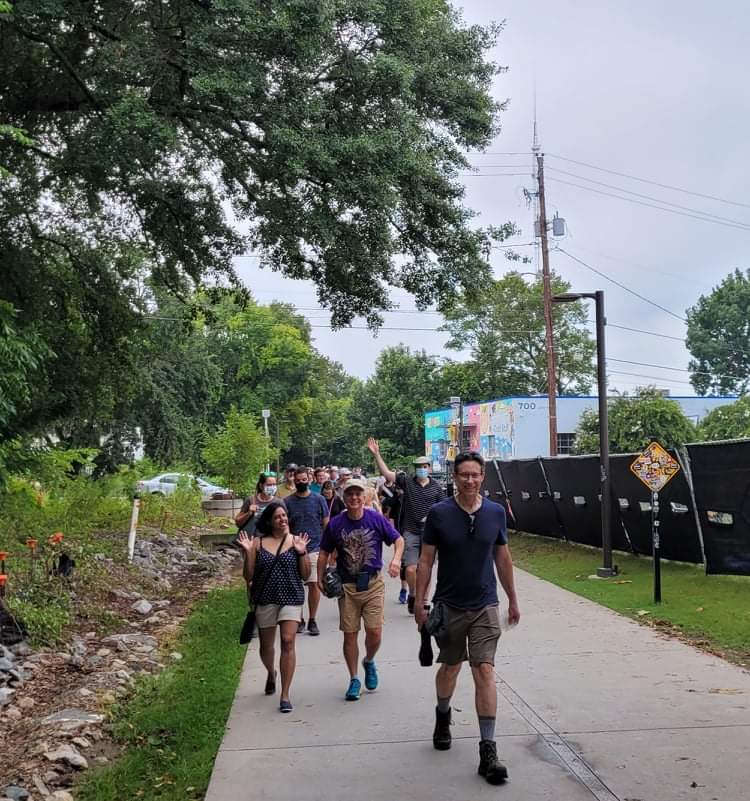
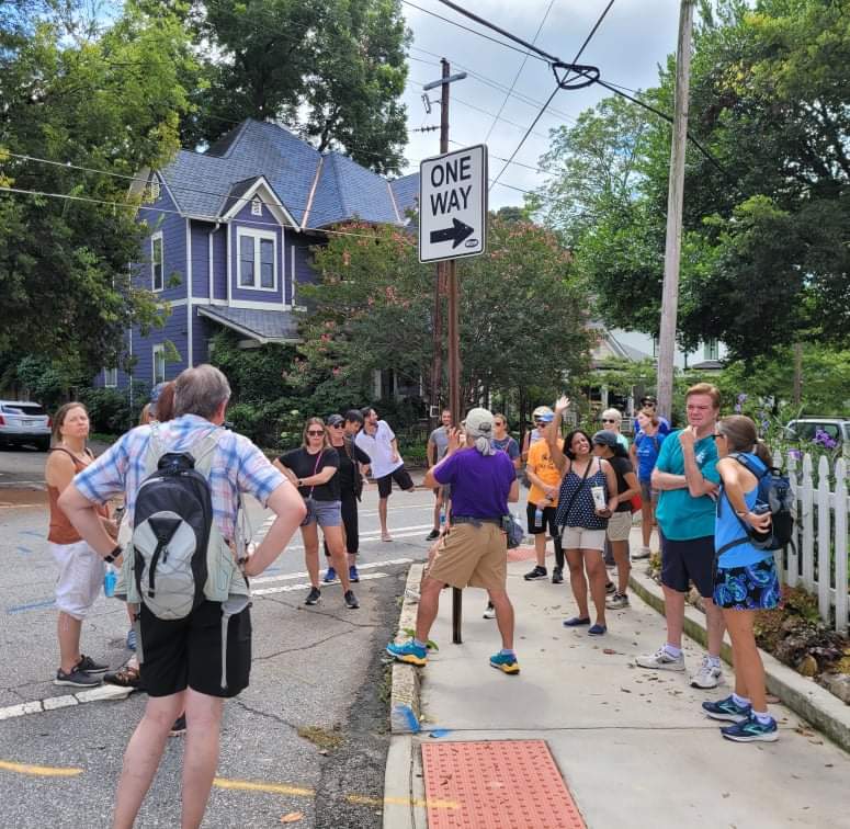
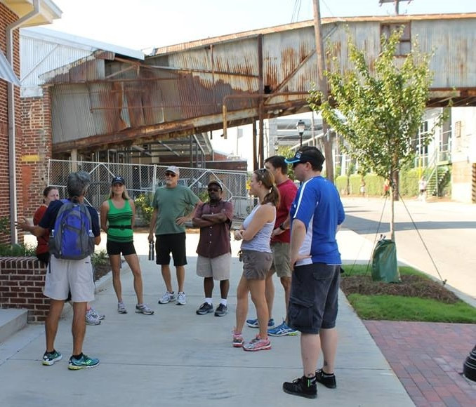
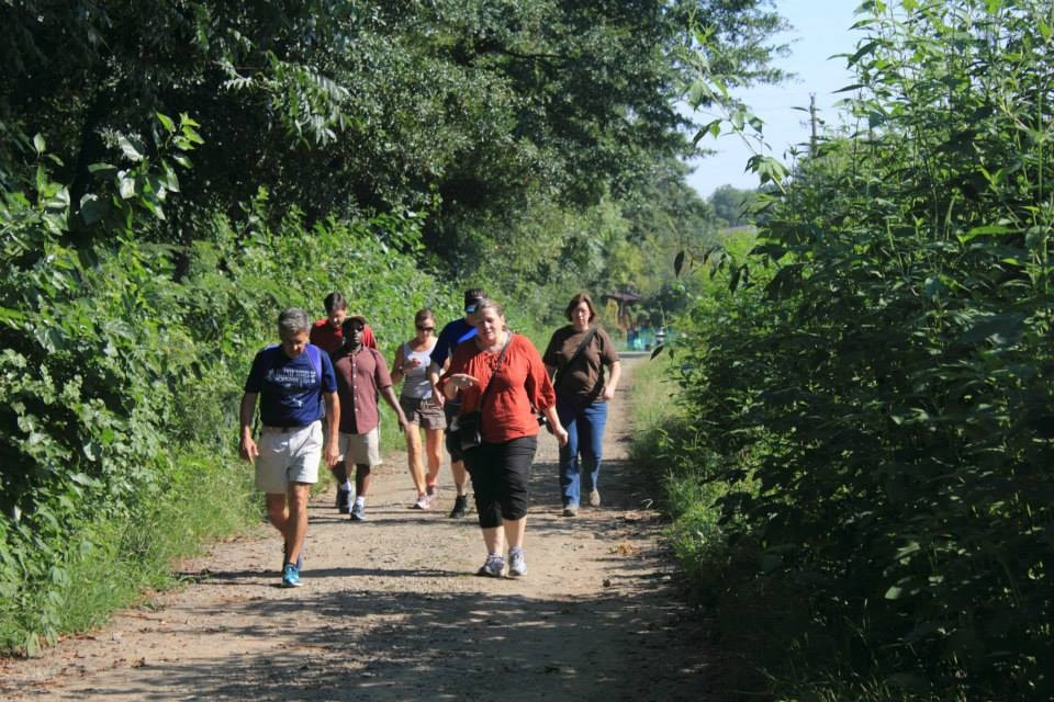
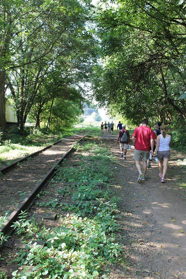
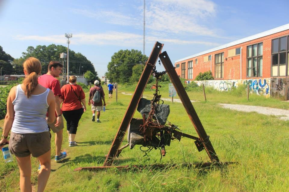
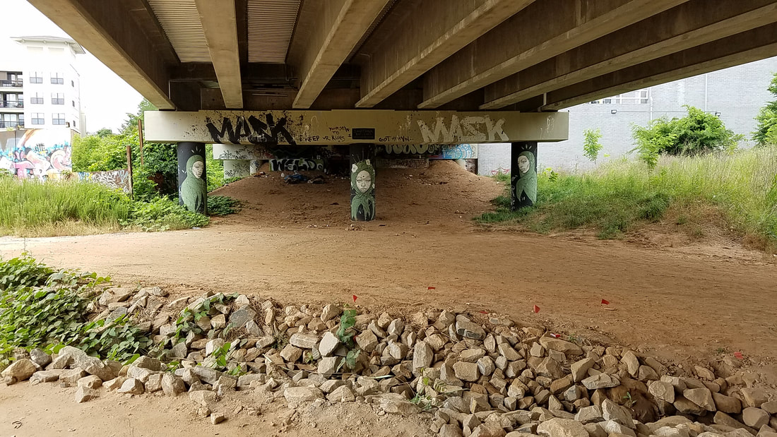
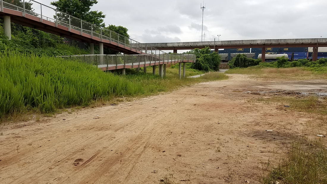
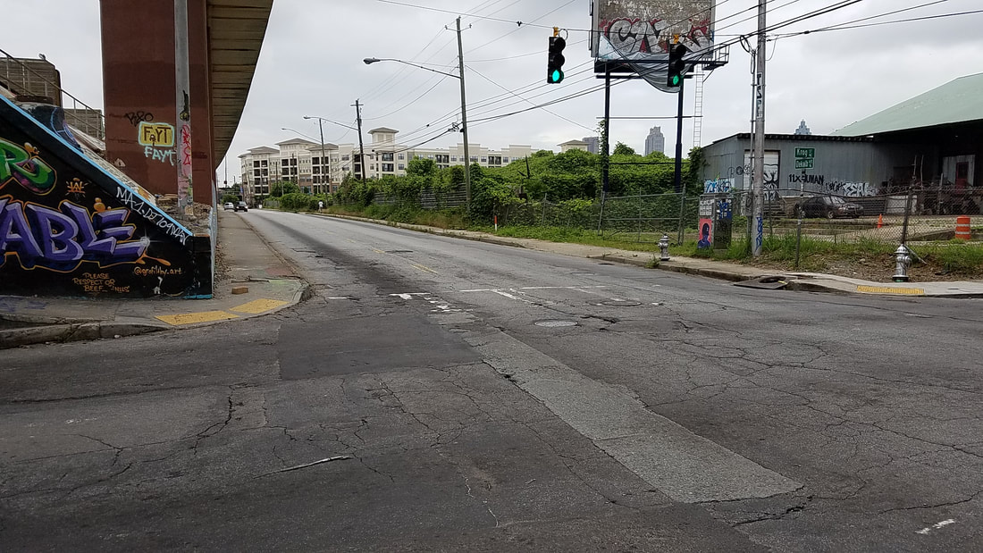
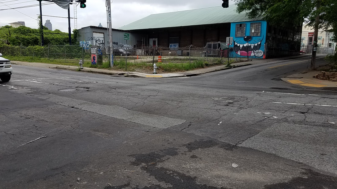
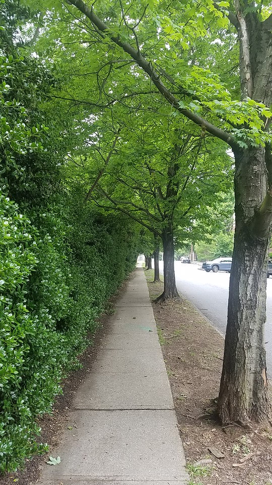
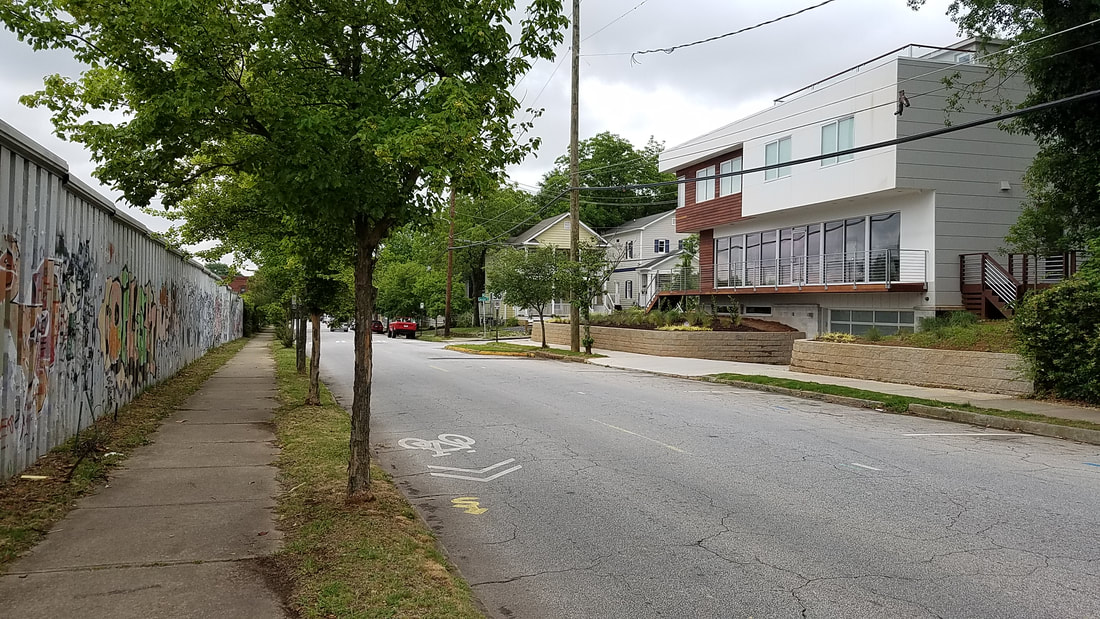
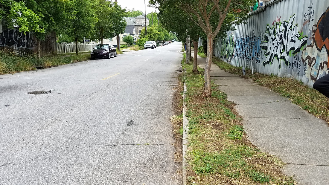
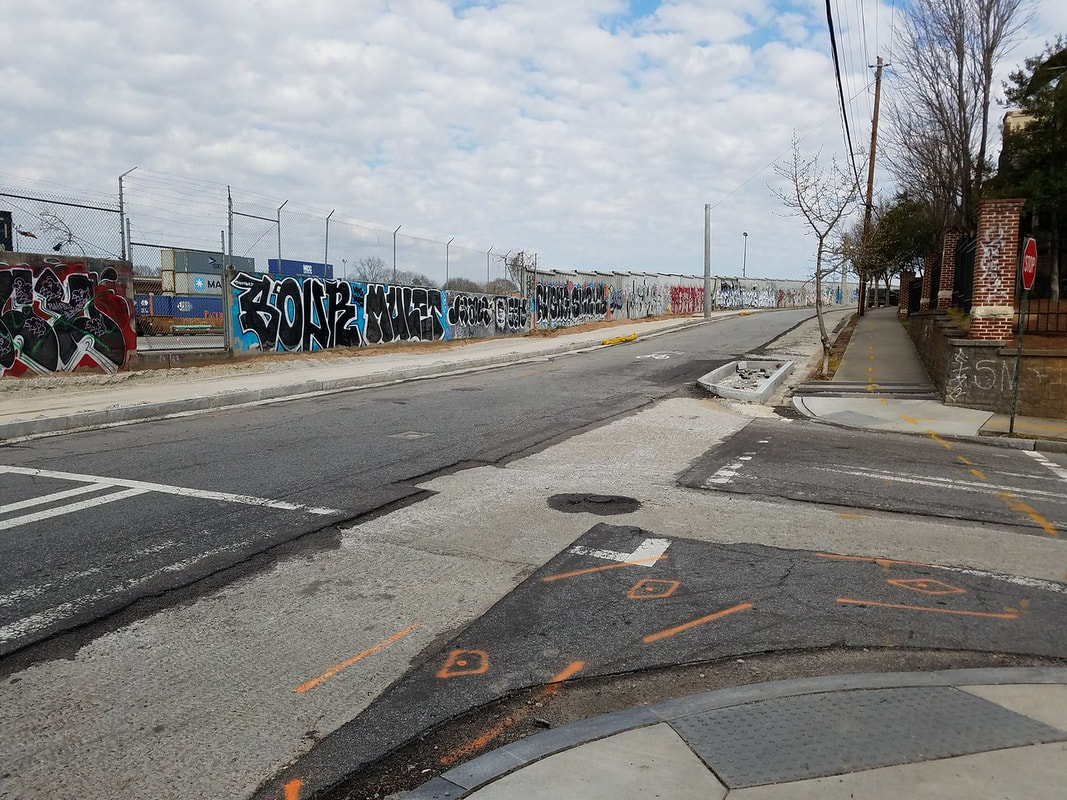
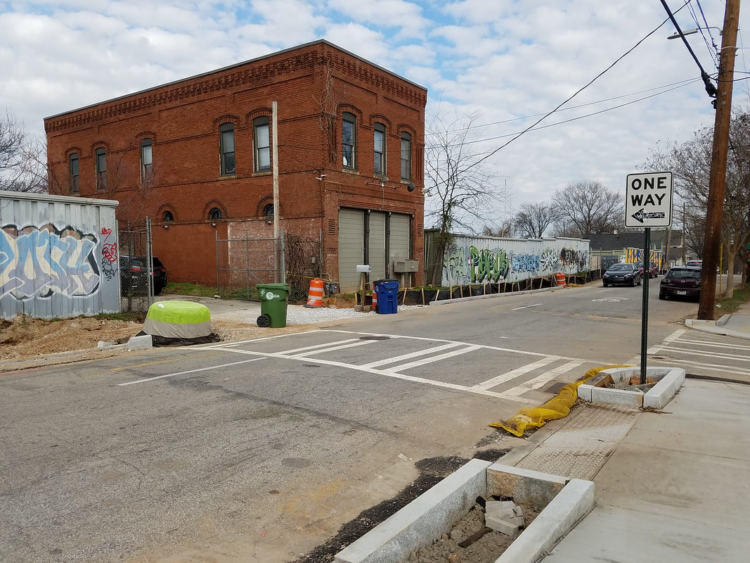
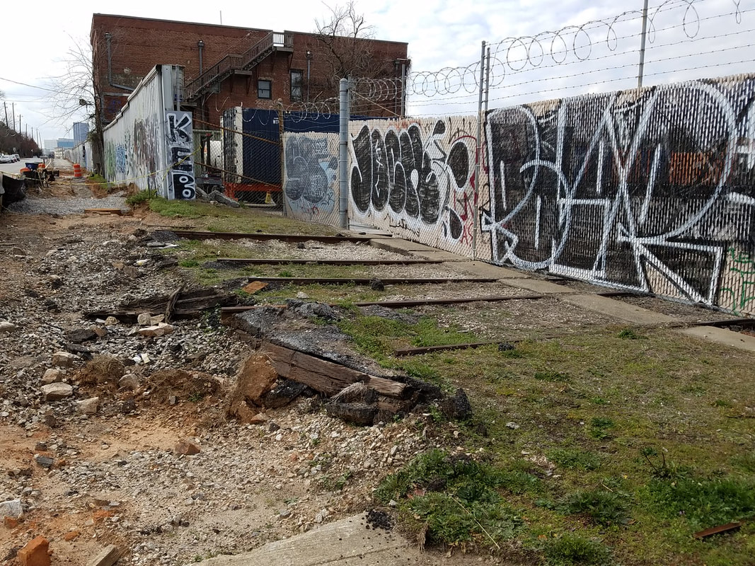
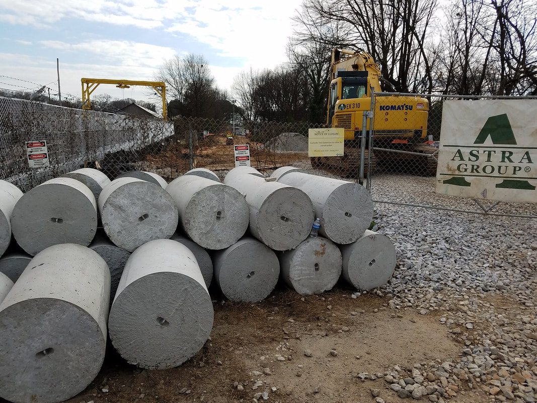
Photos from my last public tour on 08.15.21
Production vs. Consumption

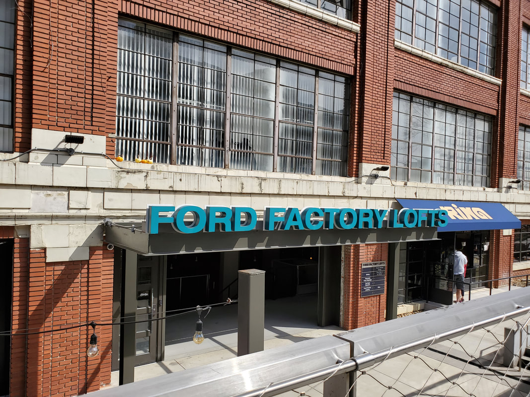
As the Industrial Age gave way to the Information Age (and later the Knowledge Age) the economic engine of the "Beltline neighborhoods" underwent massive transformation. When the trains were running, these buildings housed manufacturing plants and employed blue collar workers who made things. Those things were shipped out on the trains that ran along the tracks that used to be here. Today, these same buildings house food halls, technology companies, consulting firms and investment management organizations. These service businesses employ knowledge workers and creators; everything from chefs to web developers. Their goods and services are consumed on premises (food and beverage) or remotely by their clients (solutions). Today's Beltline is a gathering place. It is a destination where people come to eat, drink, exercise and meet one another. It is also a lifestyle that people want to live and work near. Today's employers choose to open offices here because having access to this lifestyle is viewed as a strategic asset, a recruiting tool. It's worth noting that the neighborhoods and properties along the Beltline experienced a long period (30-40 years) of dormancy after the production-driven economy ended and before the consumption-driven economy began. What will the Beltline and its coveted neighborhoods be like 5-10 years from now? 25-50 years from now? We do know one thing: The world we live in is very different than the one our parents, grandparents and great grandparents lived in. The world that our children, grandchildren and great grandchildren live in will be very different than the one we live in now. — Steve Saenz, Tour Guide
These two videos go into more detail about the historical, maps and images that appear below...
|
|
|
Why we explore...
The absence of a historically preserved battlefield means that visitors seeking firsthand knowledge about the places and events that figured prominently in the Battle of Atlanta must go beyond the almost effortless engagement with history available at well-preserved Civil War sites, such as Kennesaw Mountain, Gettysburg, and Vicksburg. Visits to the Atlanta battlefield, even via virtual tour, require greater self-reliance and a more active process of combining historical accounts, maps, and images with present-day visual evidence to ferret out what happened, where, and why. The rewards are great. By juxtaposing information from then and now, visitors traveling through contemporary Atlanta gain a new and powerful perspective on the city, its neighborhoods, and their place in history. Exploring seemingly ordinary sites is a way to gain a new awareness of history, even if the sites are often encountered during our everyday routines. Landscape historian John R. Stilgoe encourages us to scrutinize those places, put them in spatial context, and arrange them in time. "Enjoy the best kept secret around," Stilgoe writes, "the ordinary everyday landscape that rewards any explorer, that touches any explorer with magic."
— Daniel A. Pollock, The Battle of Atlanta: History and Remembrance (2014)
Key Dates
- 12,000 — 8,000 B.C. (Paleoindian Period) earliest evidence for human occupation in Georgia
- 1000 — 1540 A.D. (Mississippian Period) mounds still evident today at Etowah, Ocmulge and Nacoochee
- 1732 — Provence of Georgia charter granted to General James Oglethorpe by King George II
- 1733 — Oglethorpe lands at Yamacraw Bluff (Savannah)
- 1788 — Georgia becomes 4th fourth state to ratify the U.S. Constitution
- 1827 — Baltimore & Ohio Railroad (first passenger RR chartered in U.S.)
- 1836 — Georgia General Assembly votes to build the Western & Atlantic Railroad (to provide a link between the port of Savannah and the Midwest)
- 1837 — Col. Stephen Harriman Long identifies "terminus"
- 1845 — Georgia Railroad was completed to Marthasville (originally chartered in 1833 to group of Athens businessmen)
- 1846 — Macon & Western Railroad extended to Atlanta (originally chartered as the Monroe Railroad & Banking Company in December 1833)
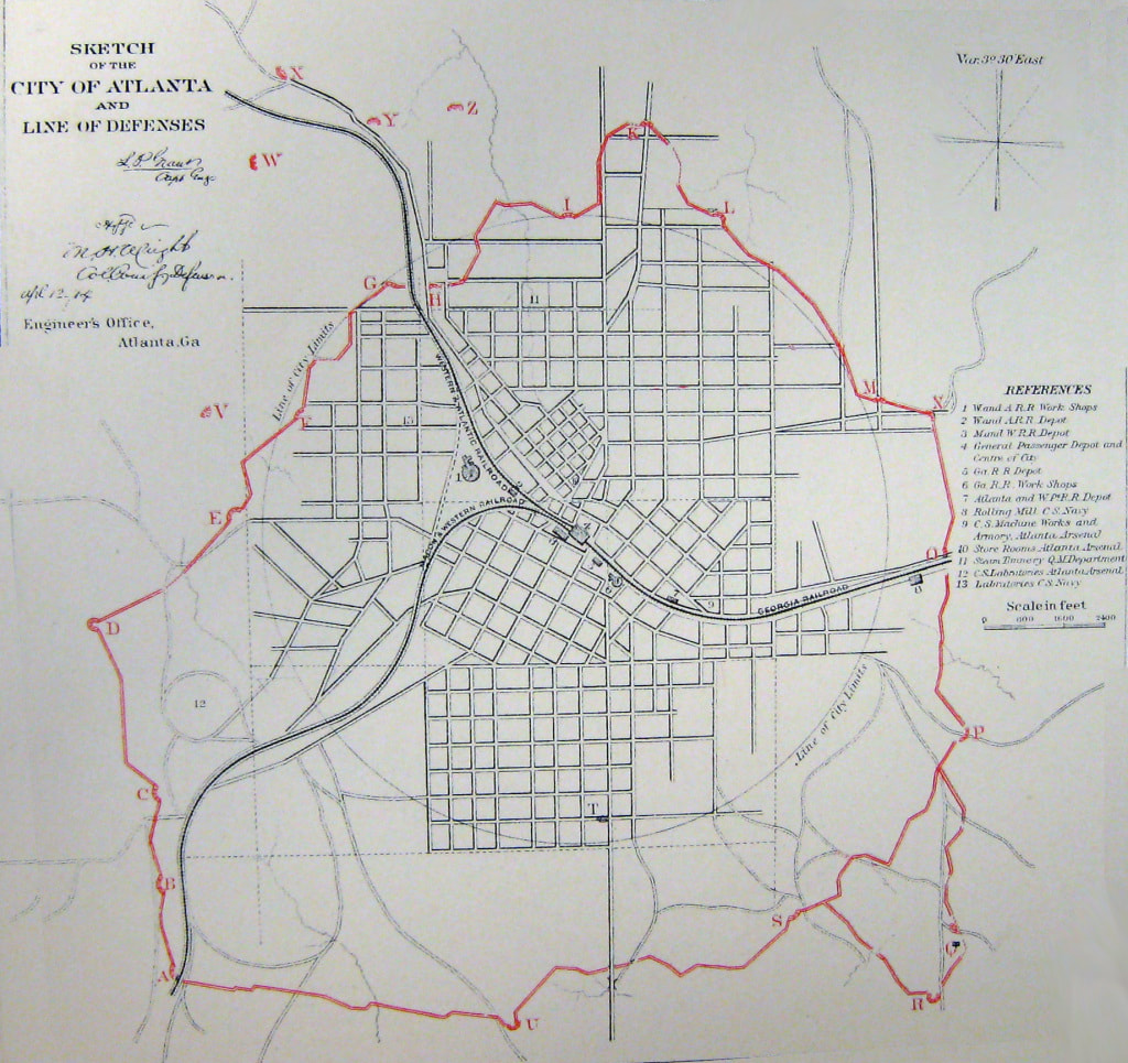
- 1864 — Battle of Atlanta (July 22)
America's First Railroad...
John Stevens is considered to be the father of American railroads. In 1826 Stevens demonstrated the feasibility of steam locomotion on a circular experimental track constructed on his estate in Hoboken, New Jersey, three years before George Stephenson perfected a practical steam locomotive in England. The first railroad charter in North America was granted to Stevens in 1815. Grants to others followed, and work soon began on the first operational railroads.
Surveying, mapping, and construction started on the Baltimore and Ohio in 1830, and fourteen miles of track were opened before the year ended. This roadbed was extended in 1831 to Frederick, Maryland, and, in 1832, to Point of Rocks. Until 1831, when a locomotive of American manufacture was placed in service, the B & O relied upon horsepower.
Source: U.S. Library of Congress
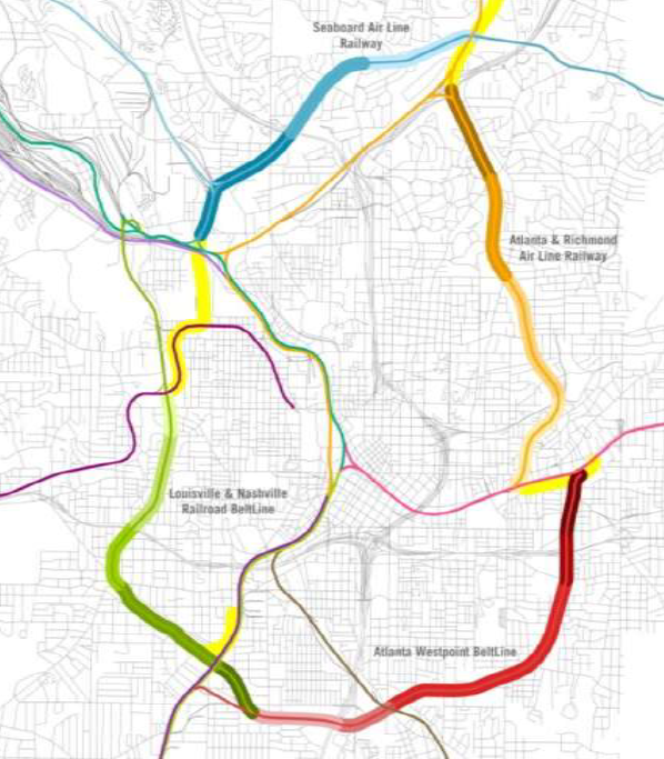
Brief History of Atlanta's "belt lines"
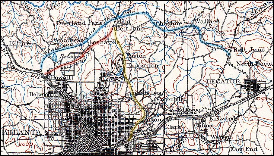
Built by several different railroad companies between 1871 and 1908, the 22 miles of rail lines include former main line segments, various belt line connections, and, on the north side of town, still-active mainline tracks. While collectively these lines do form a circle around downtown Atlanta, there was not a single belt line company that owned or operated the whole, although one was proposed in 1899.
The oldest segment of the BeltLine, now called the Eastside Trail, was built not as belt trackage but as part of the mainline of the Atlanta & Richmond Air-Line Railway, which was completed in 1871-73. This railroad became the Atlanta & Charlotte Air-Line in 1877 and Southern Railway in 1894. Some old maps show the segment as the "Decatur Street Belt" or the "Southern Railway Belt."
The first line to be constructed as a belt line came in 1883. This was the 3.3-mile connection between the then-new Georgia Pacific Railway at Howell and the Atlanta & Charlotte Air-Line at Belt Junction.
The next belt line to arrive on the scene was the 8-mile Seaboard Air-Line Belt Railway, which was a connection between Howell and a point on the Georgia Carolina & Northern Railway (later merged into Seaboard) that was also called, confusingly, Belt Junction.* Chartered July 22,1892 and opened in March 1893, it made a long arc across the northern part of the city. Along its western section it ran parallel to, and north of, the earlier Georgia Pacific belt line.
A belt line on the southeast side of town came with the 1899 organization of the Atlanta Belt Railway Company. The project had been started earlier by the Atlanta & West Point Railroad, which had made a survey for a 6-mile line from a point on its main line near East Point to a point on the Georgia Railroad on the east side of Atlanta near Inman Park. The A&WP had purchased about one-half of the right of way at a cost of $39,455 before a restraining order stopped the project. To complete the line it was necessary to incorporate the Atlanta Belt Railway Company as an independent company.
Source: RailGA
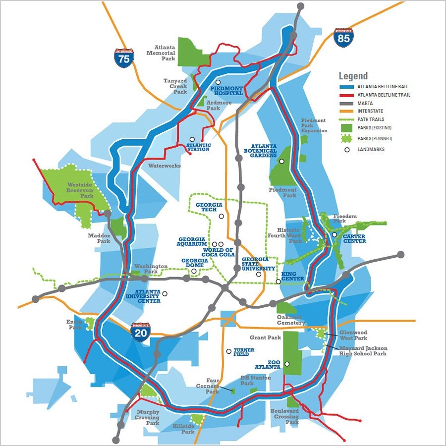
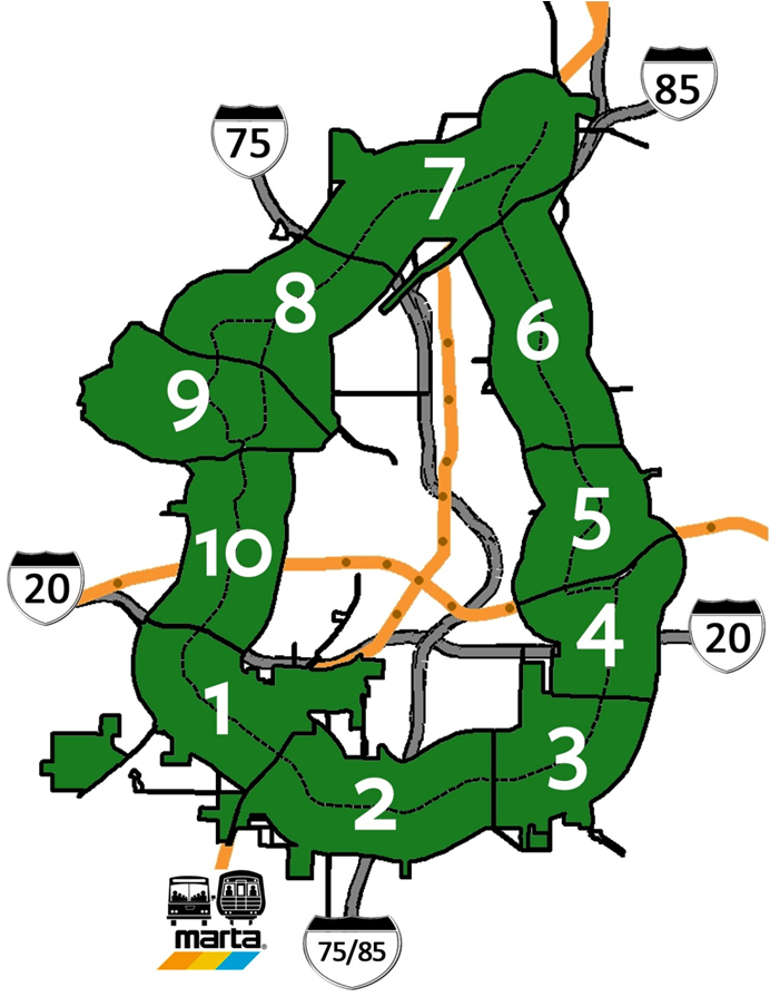
Historical Maps & Photos
Maps
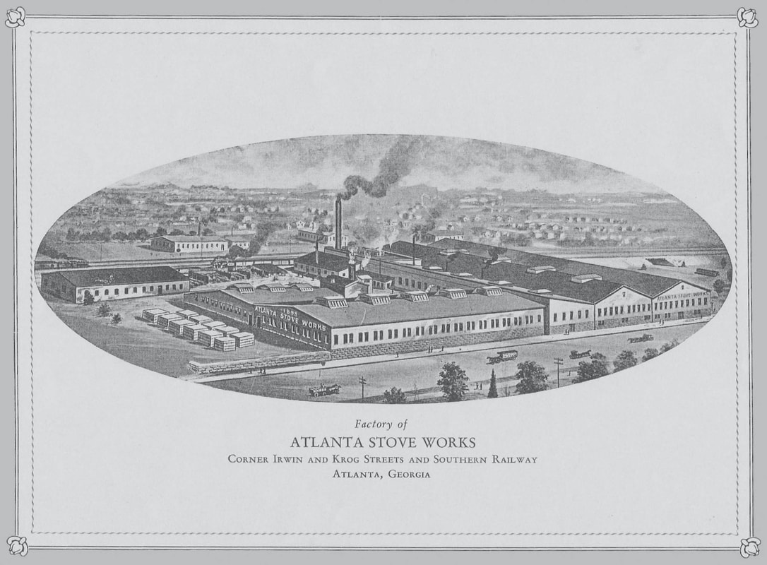
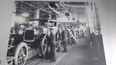
Historical Photos


Battle of Atlanta (1864)
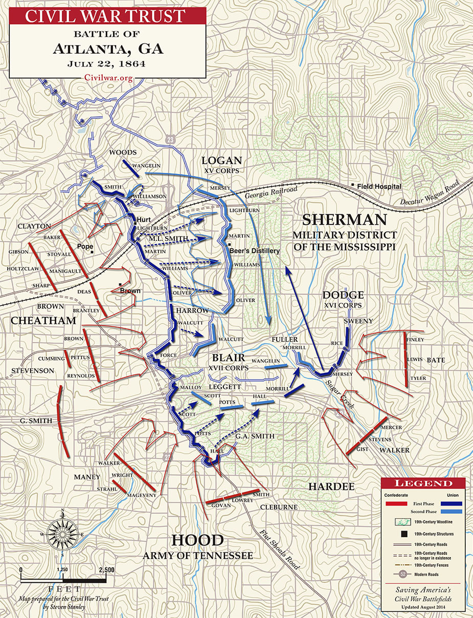
Battle of ATL Troop Positions. Front line = Moreland Ave
|
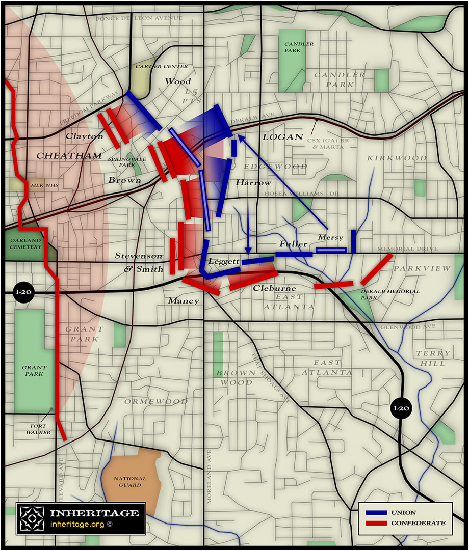
Battle of ATL: Inman Park & Reynoldstown Action
|
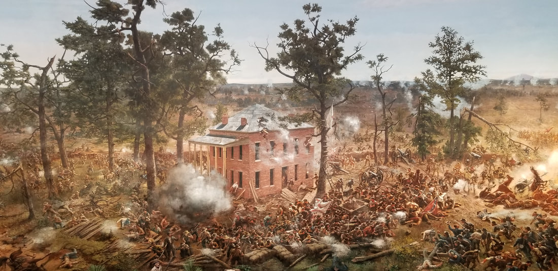
Battle of ATL: Troup Hurt House (Cyclorama)
|
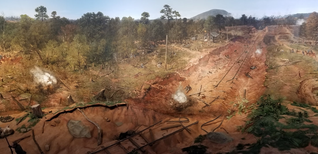
Battle of ATL: "Railroad Cut" (Cyclorama)
|
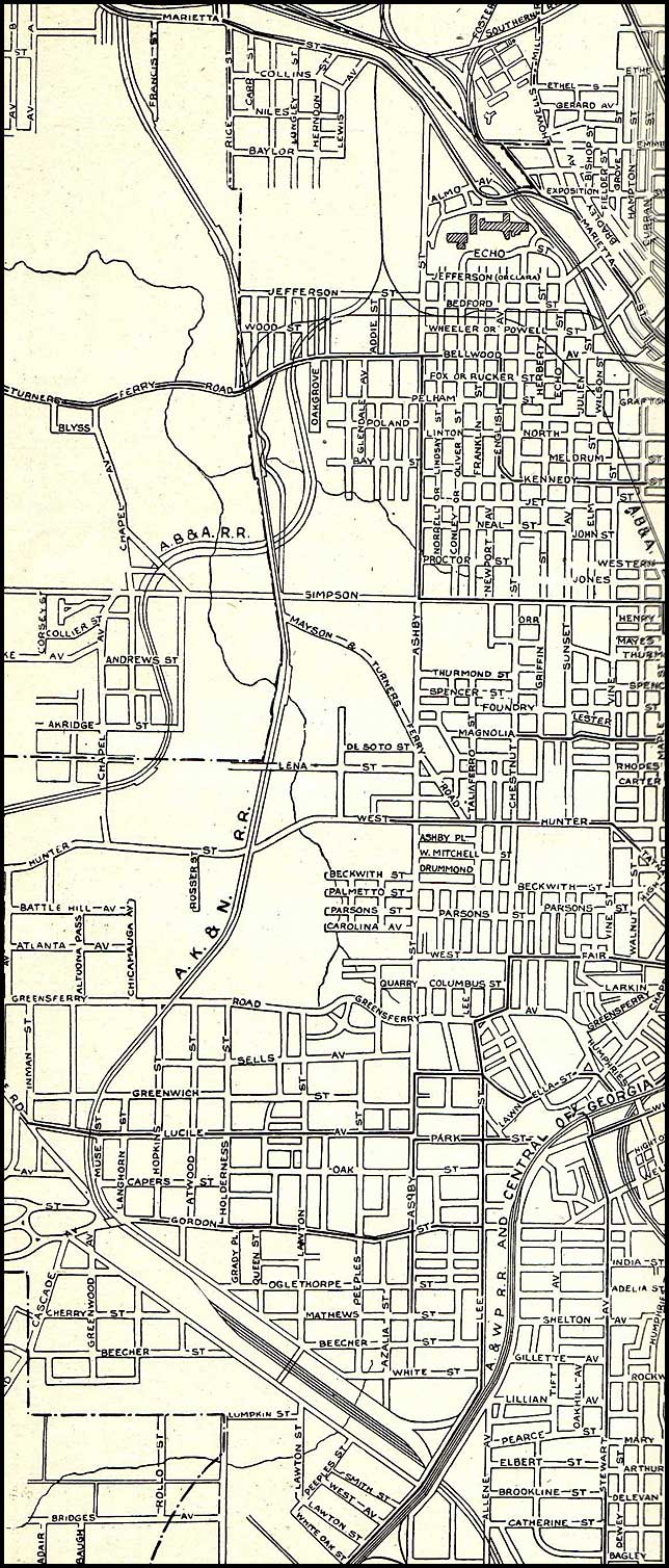
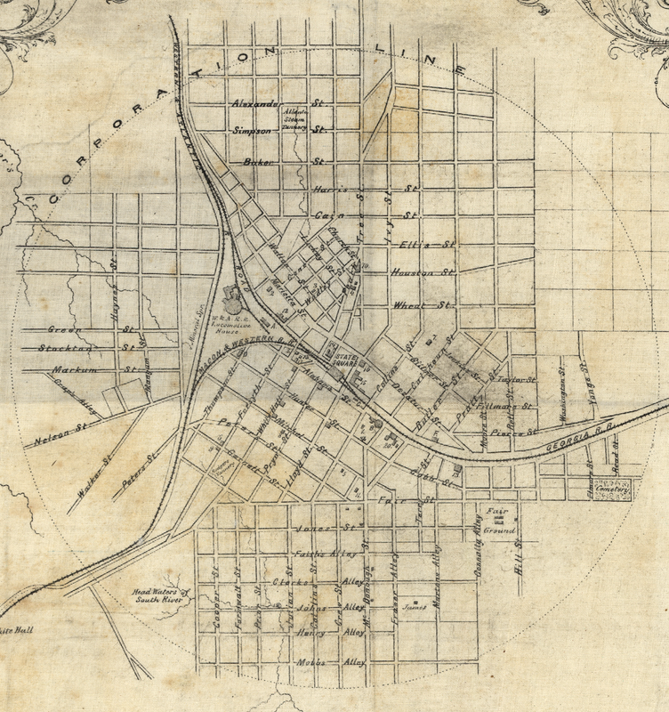
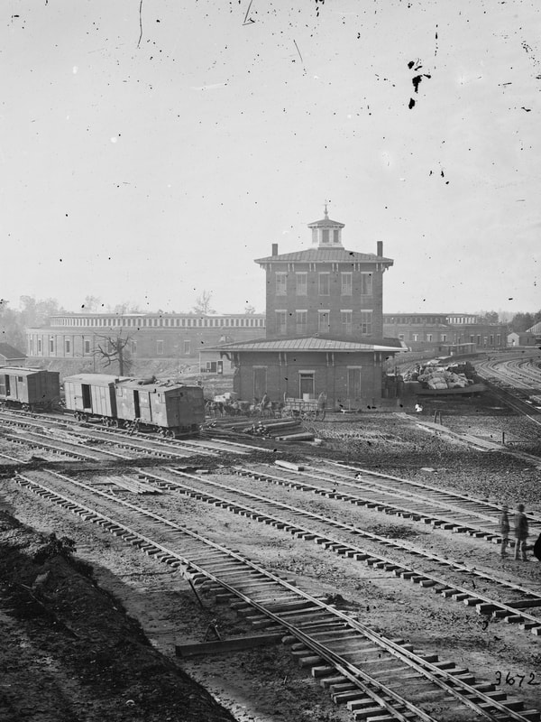
Sanborn Fire Maps
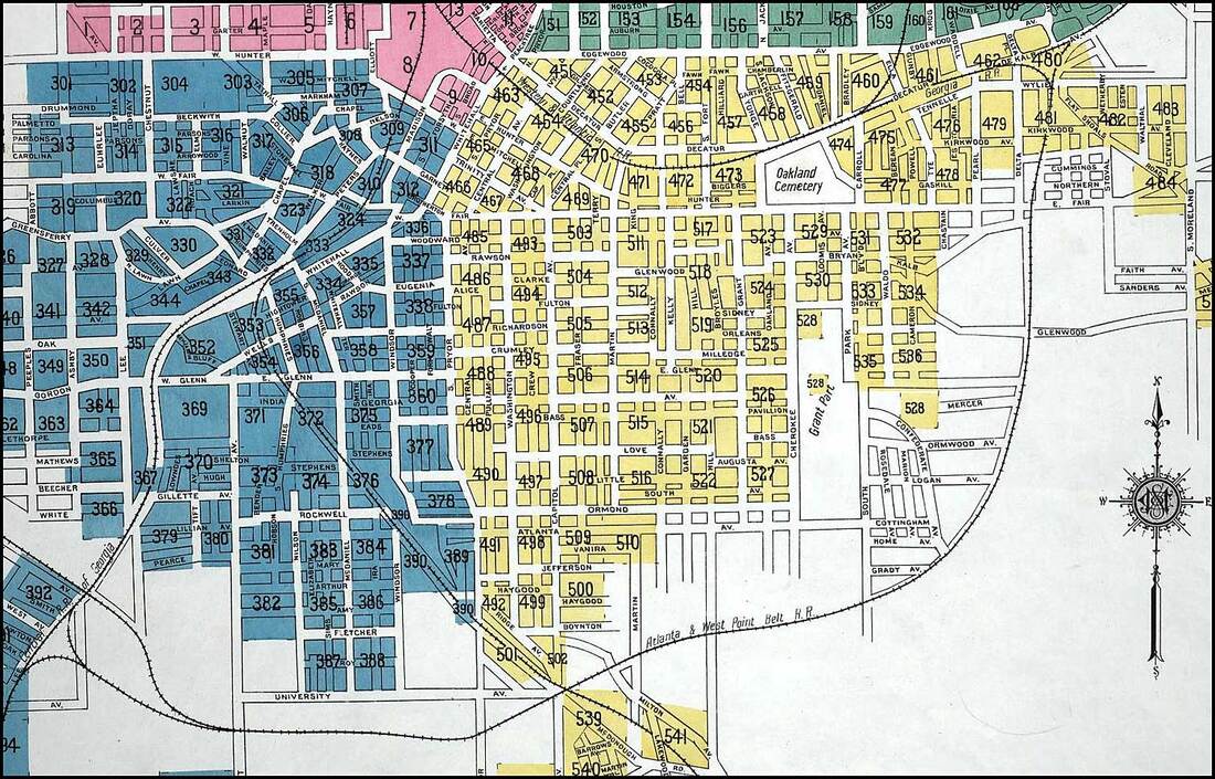
SE ATL. Note Atlanta & West Point RR line
|
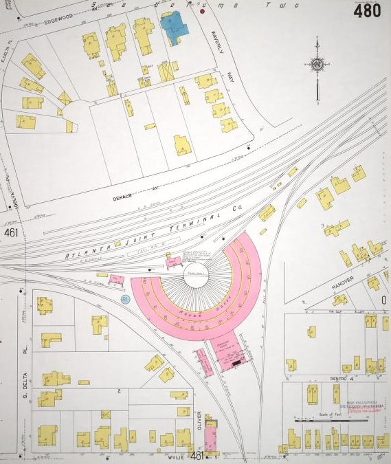
RR "wye" junction at end of Wylie St in Reynoldstown. Where Hulsey Yard is now.
|
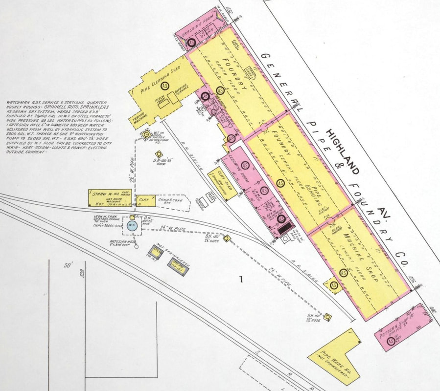
General Pipe & Foundry Co. Pink building in bottom right is where Parish restaurant was.
|
Source: U.S. Library of Congress
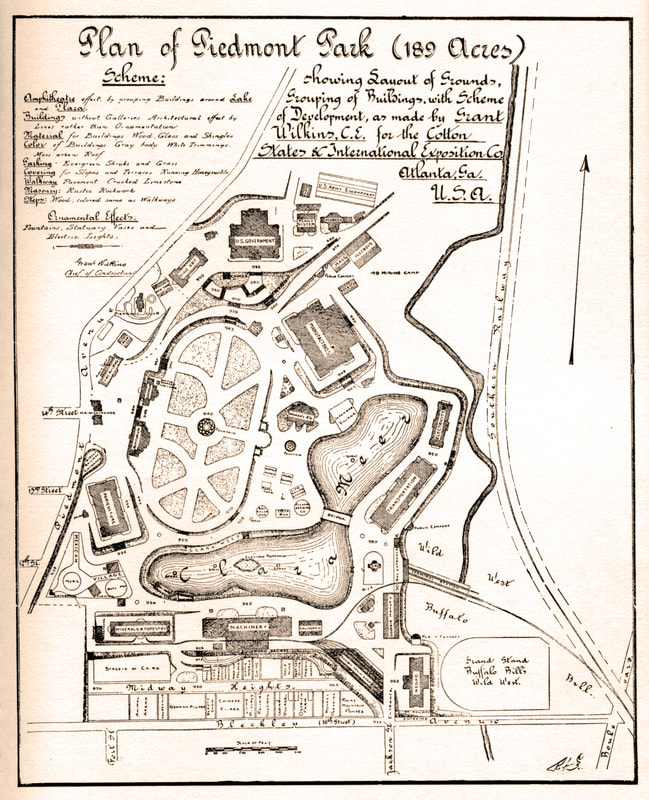
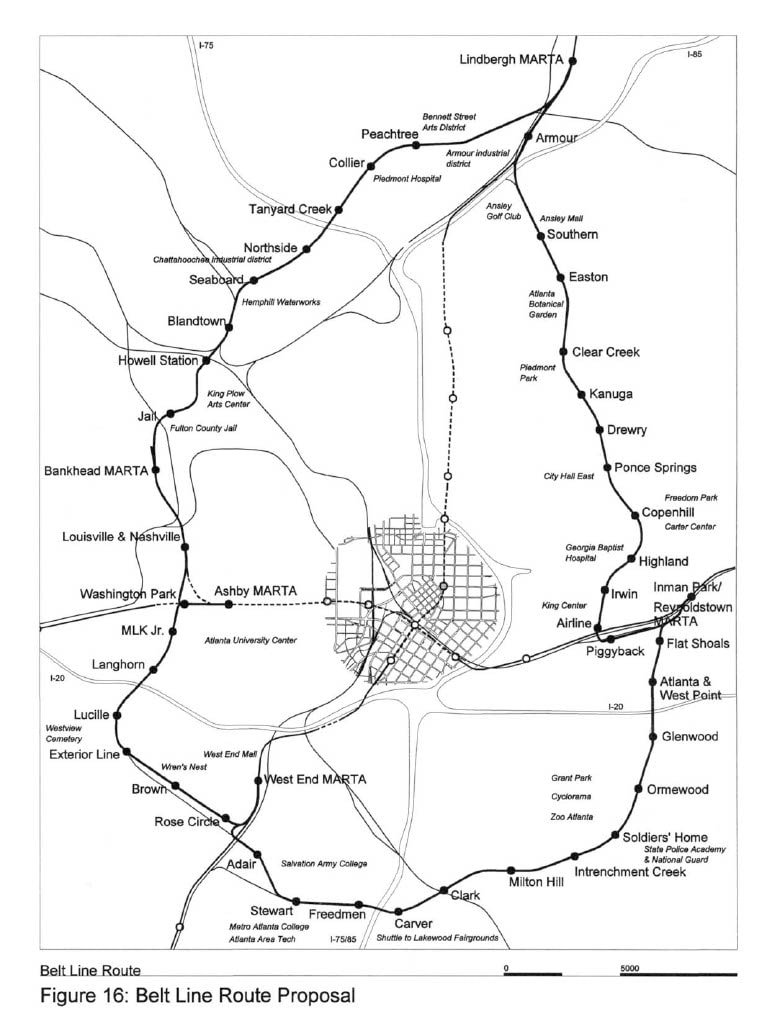
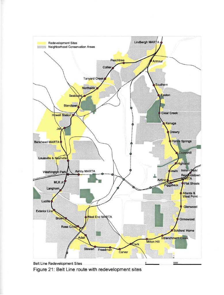
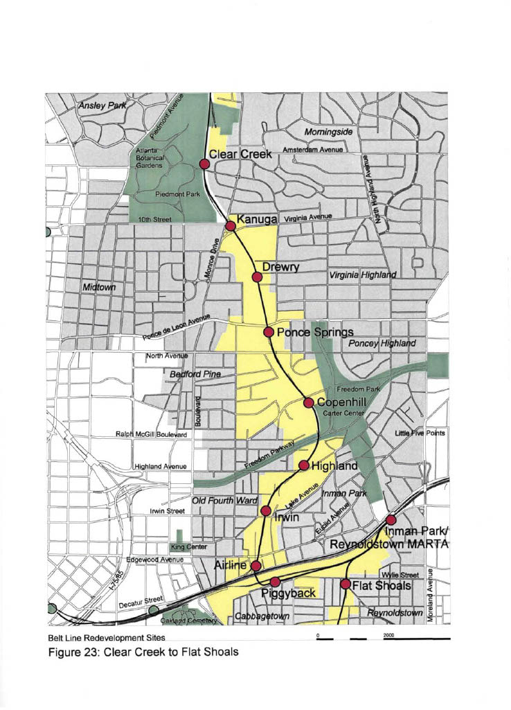
Maps from Belt Line— Atlanta: Design of Infrastructure as a Reflection of Public Policy, Ryan Gravel (1999)

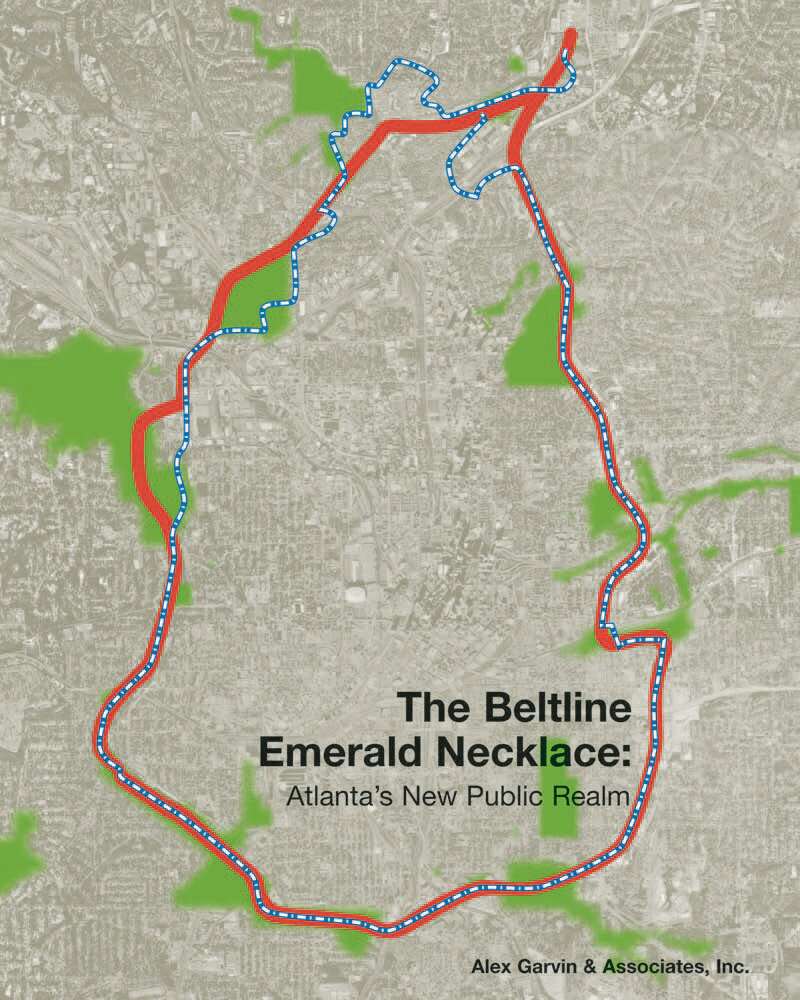
Maps from The Beltline Emerald Necklace: Atlanta's New Public Realm, Alexander Garvin (2004)
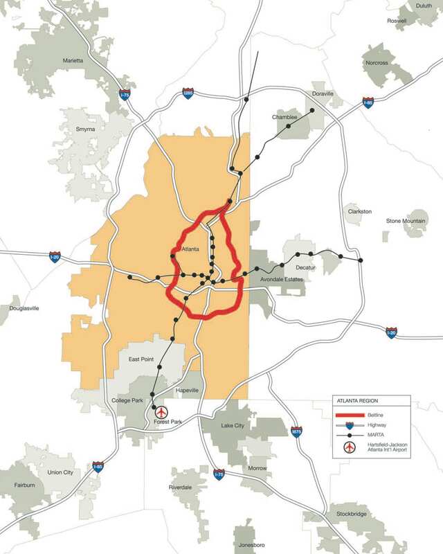
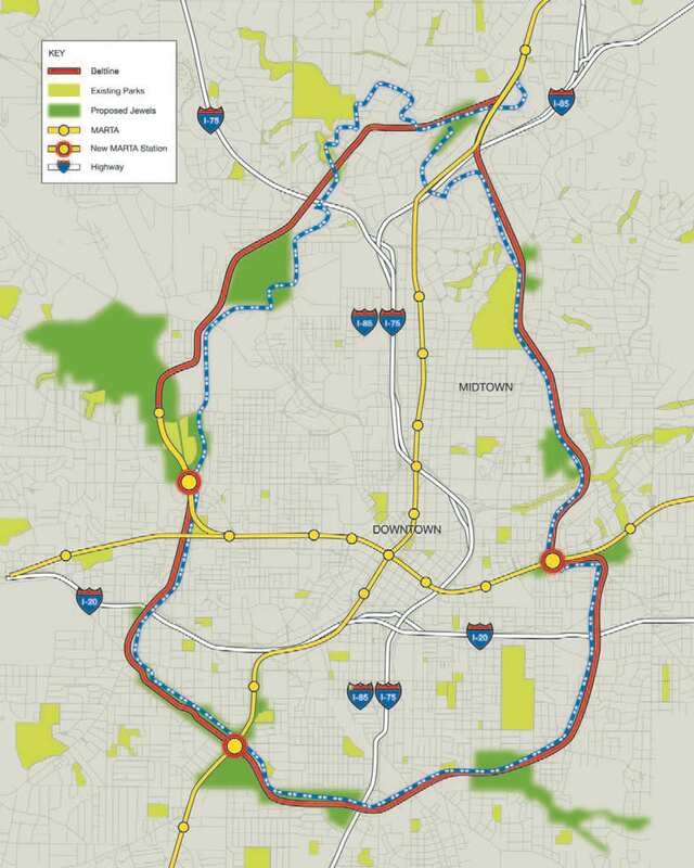
Early Maps of the Atlanta Beltline
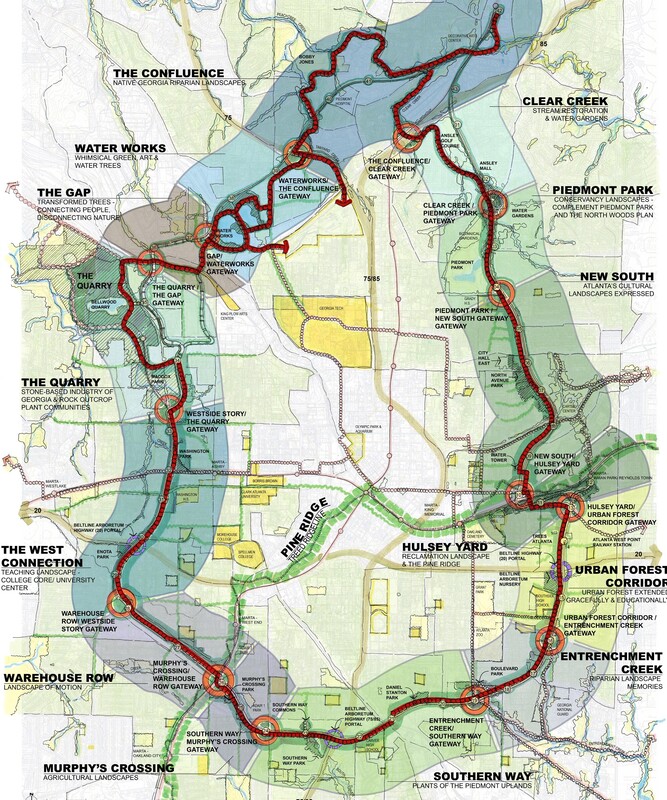

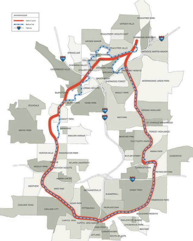
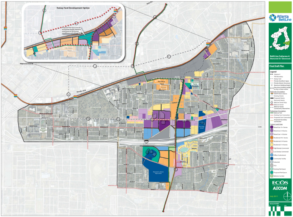
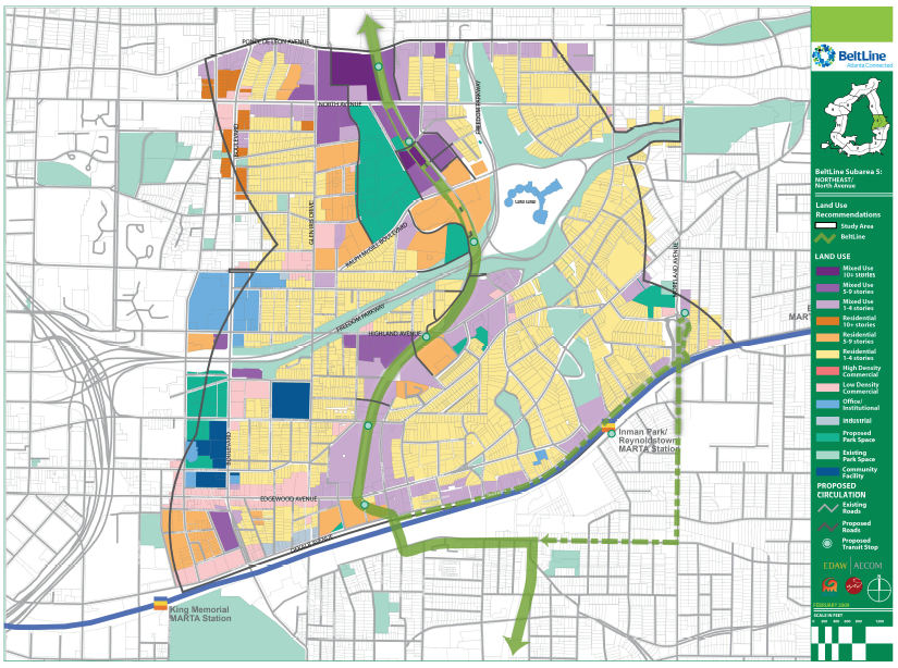
Maps of Atlanta Beltline Sub-areas 4 & 5
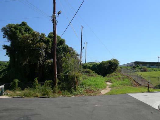
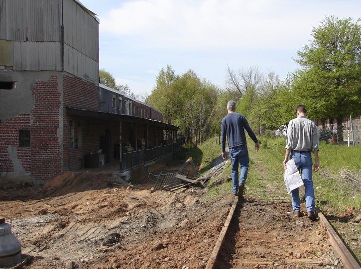
Photos of Eastside Trail pre-Beltline


Key Dates for Eastside Trail
- 1999 — Atlanta: Design of Infrastructure as a Reflection of Public Policy (Ryan Gravel's master thesis at Georgia Tech)
- 2004 — Maps from The Beltline Emerald Necklace: Atlanta's New Public Realm (Alexander Garvin's feasibility study)
- 2005 — Atlanta City Council adopts Atlanta Beltline Redevelopment Plan
- 2007 — ABI purchases the 4.5-mile NE Corridor, the first piece of right of way to be secured for the Atlanta BeltLine
- 2008 - 2010 — Subarea master plans developed
- 2009 — ABl enters into an option agreement with GDOT for 3.5 miles of the Atlanta BeltLine corridor in the southwest and Reynoldstown
- 2010 — Historic Fourth Ward Park & Skatepark opens
- 2011 — City of Atlanta sells old Sears building to Jamestown Properties (now PCM)
- 2012 — Eastside Trail opens (Irwin to Ponce de Leon)
- 2016 — Phase I of Eastside Trail extension opens (Irwin to Kirkwood)
- 2017 — Phase II of Eastside Trail extension opens (Kirkwood to Memorial)
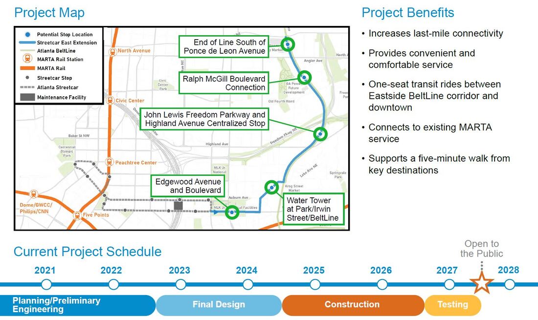
- 2021 — MARTA conducts feasibility study to extend Atlanta Streetcar from Jackson Street to Eastside Trail and to Ponce de Leon Ave
My first public tour on 8.16.14
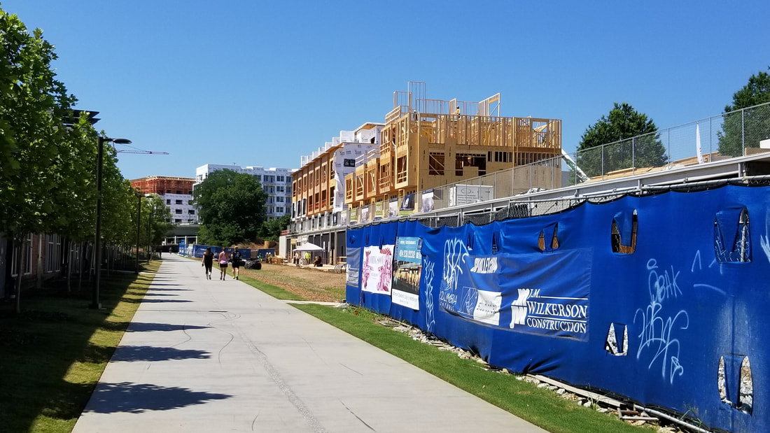
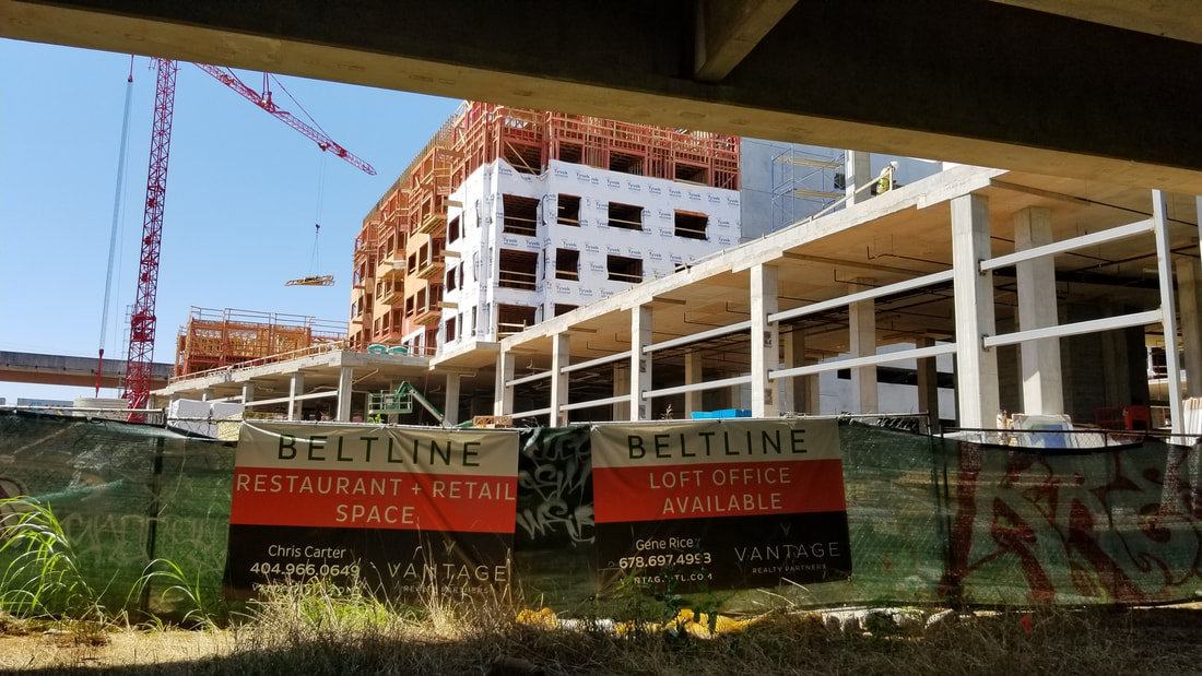
June 2015
2016


Oct 2016
2017
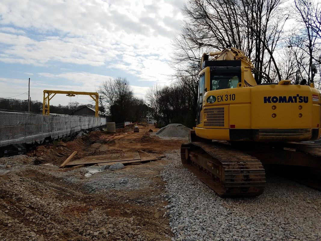
March 2017
2018
June 2018
2019
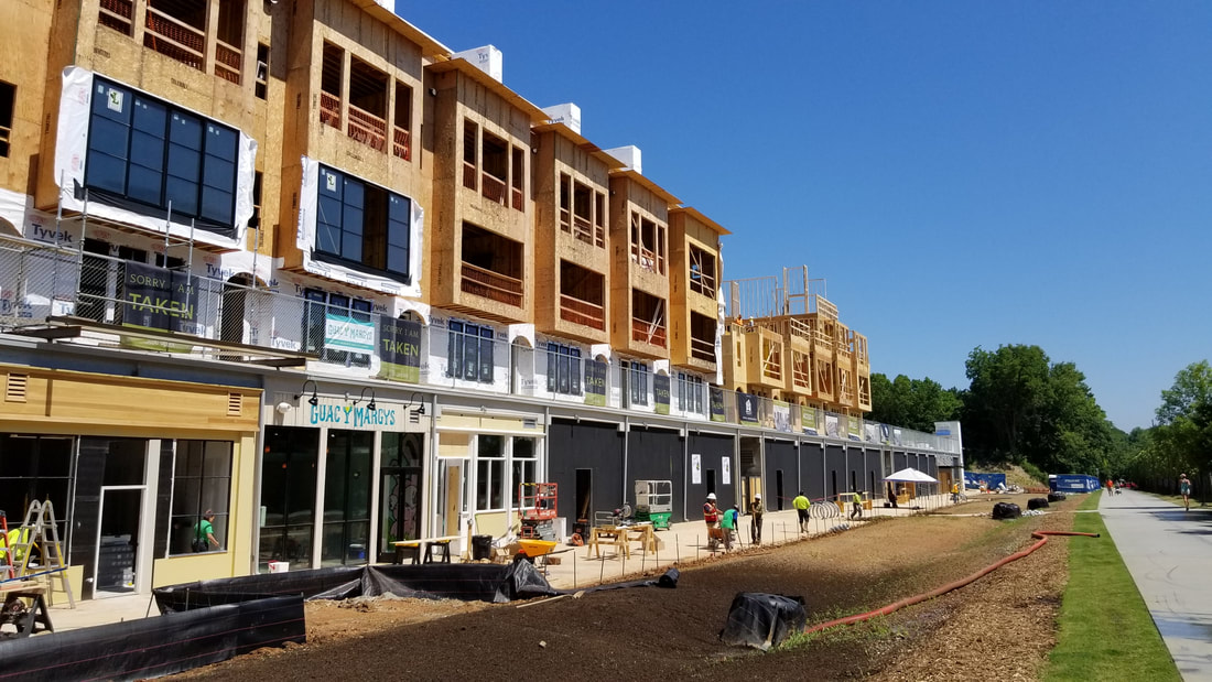

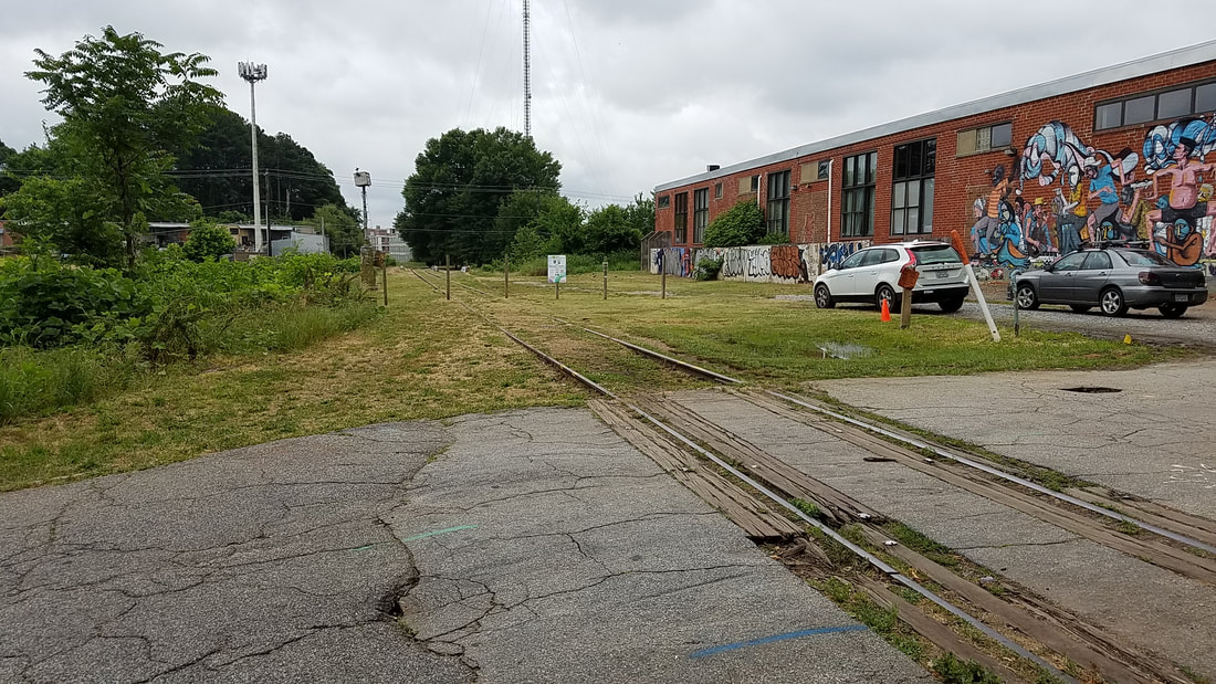
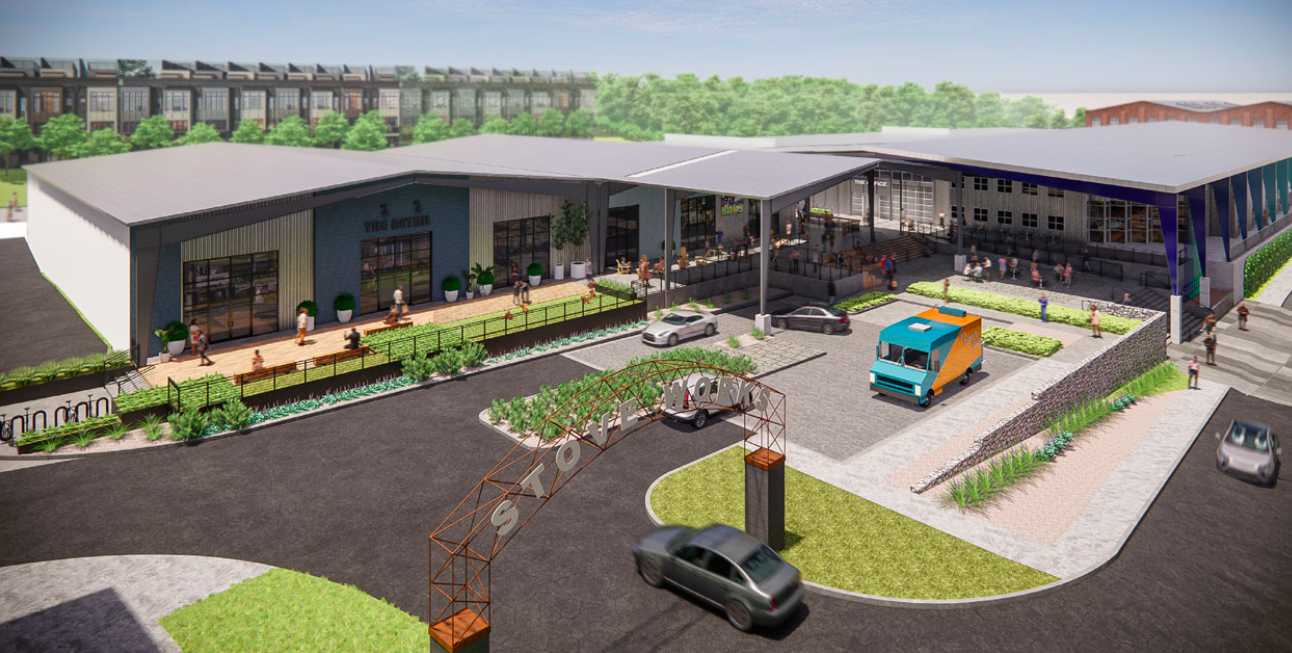
Krog District (formerly Krog Street Market)

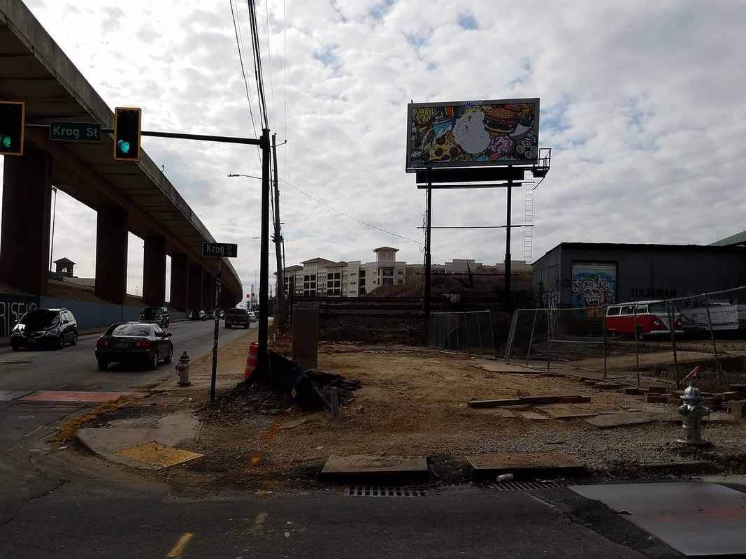
Atlanta Streetcar Extension
Studioplex
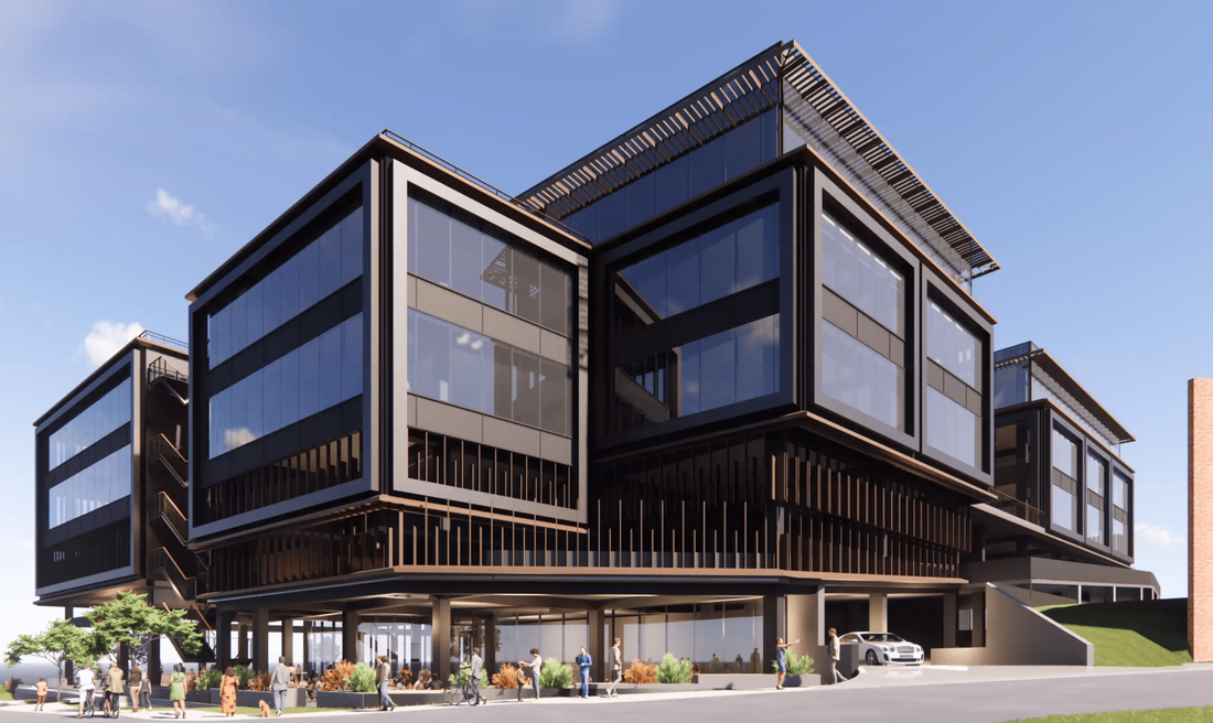
6-story, 130,000-square-foot office project by Portman Holdings at 667 Auburn

