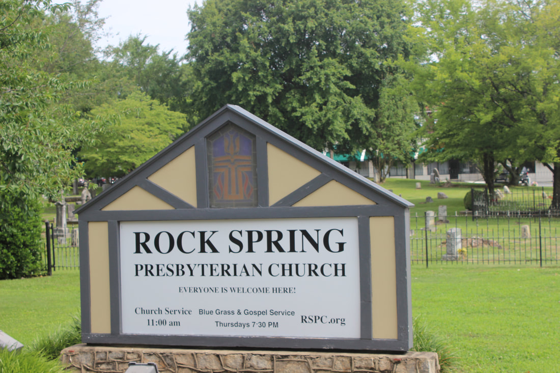
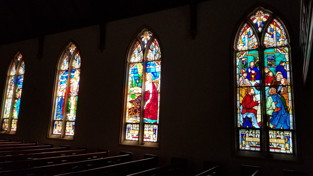
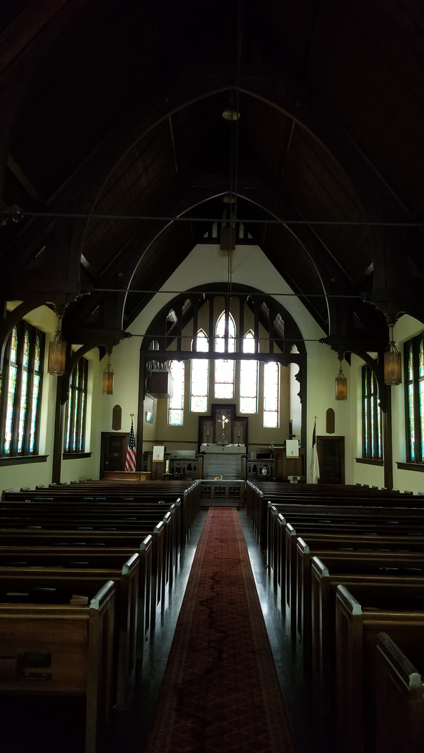
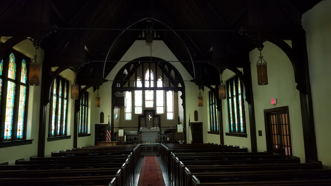
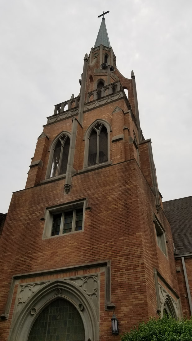
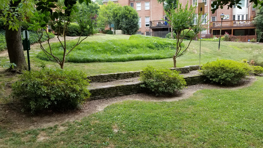
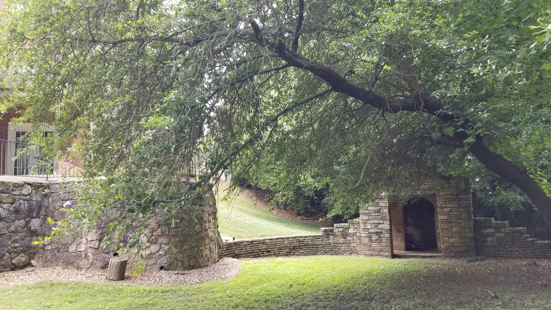
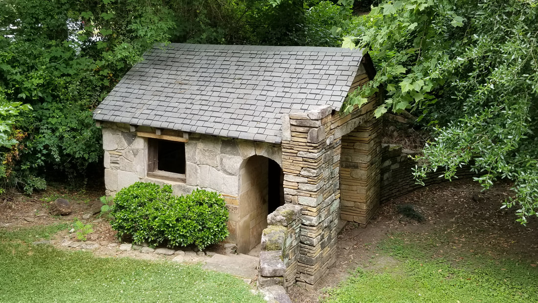
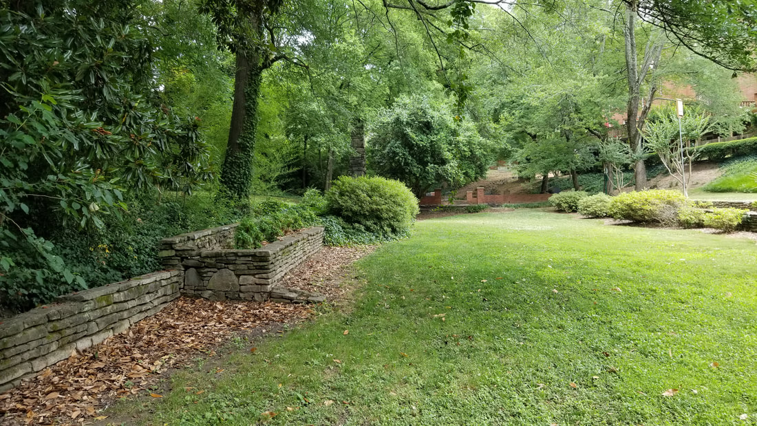
"About 1835, settlers built a one-room log cabin school on land ceded from the Indians just 14 years earlier — on the same site our church now occupies. Water for the school was carried in buckets from a 'cool, clear, sparkling' spring located across the dirt road from the school. The water from the spring came from under a rock, and rocks formed the sides of the spring. Surrounding beautiful trees made it a delightful, cool, shady place; the area became known as the Rock Spring community." — from the Spirit of Rock Spring: A History of Rock Spring Presbyterian Church by Barbara Wright Cheshire, PhD
History & Highlights of Piedmont Heights |
|
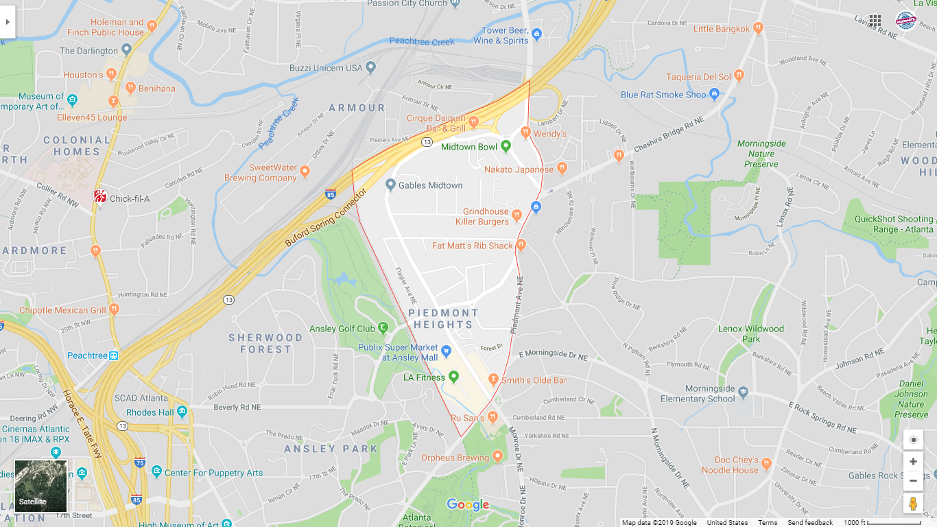
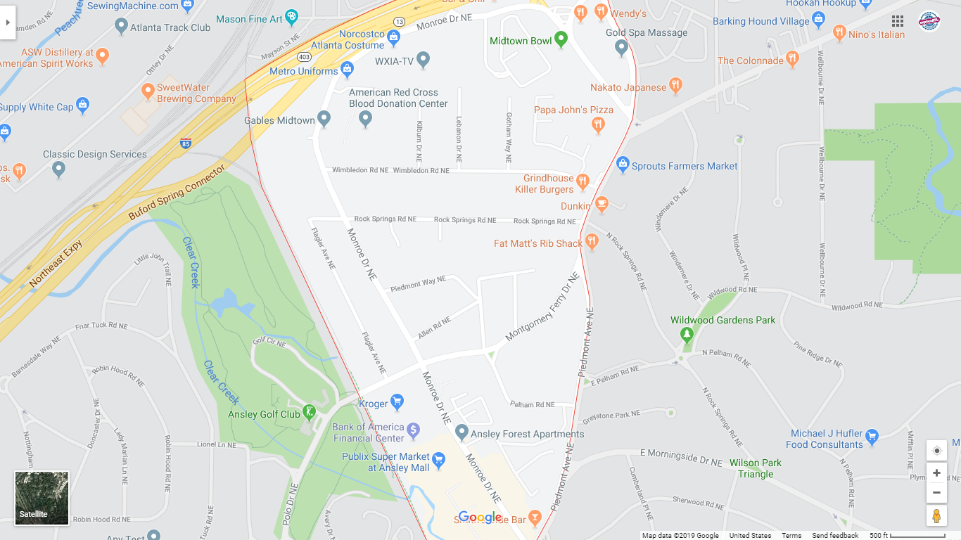
Lay of the Land
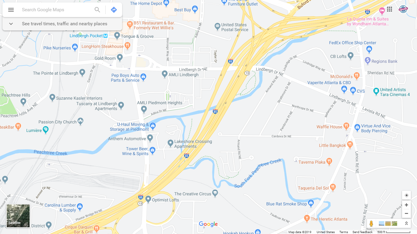
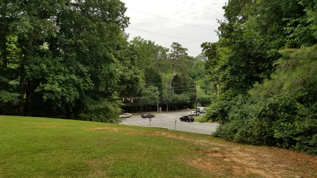
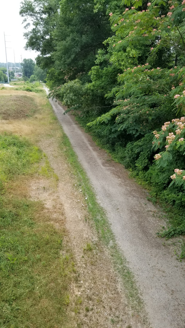
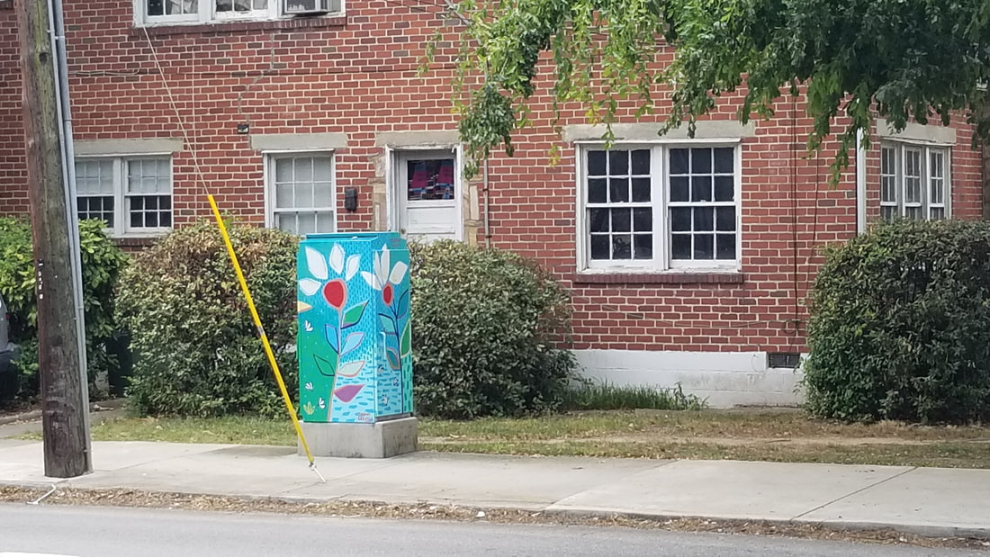
Street View - Contextual
|
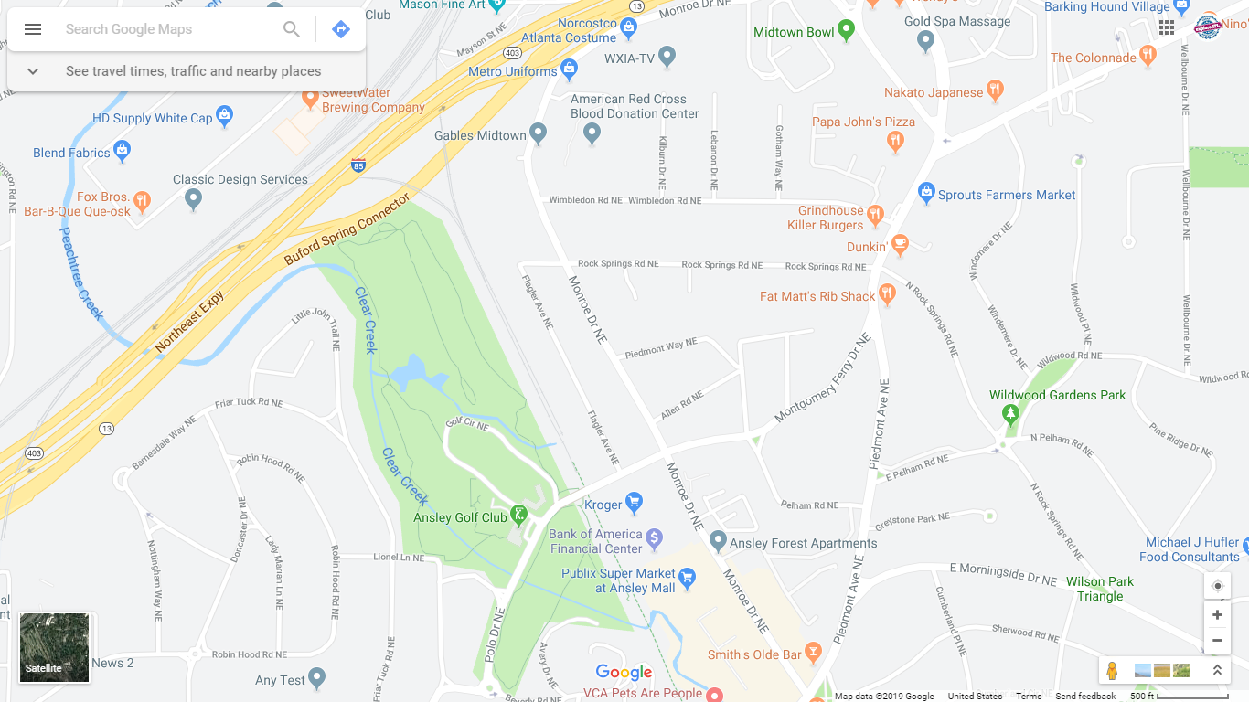
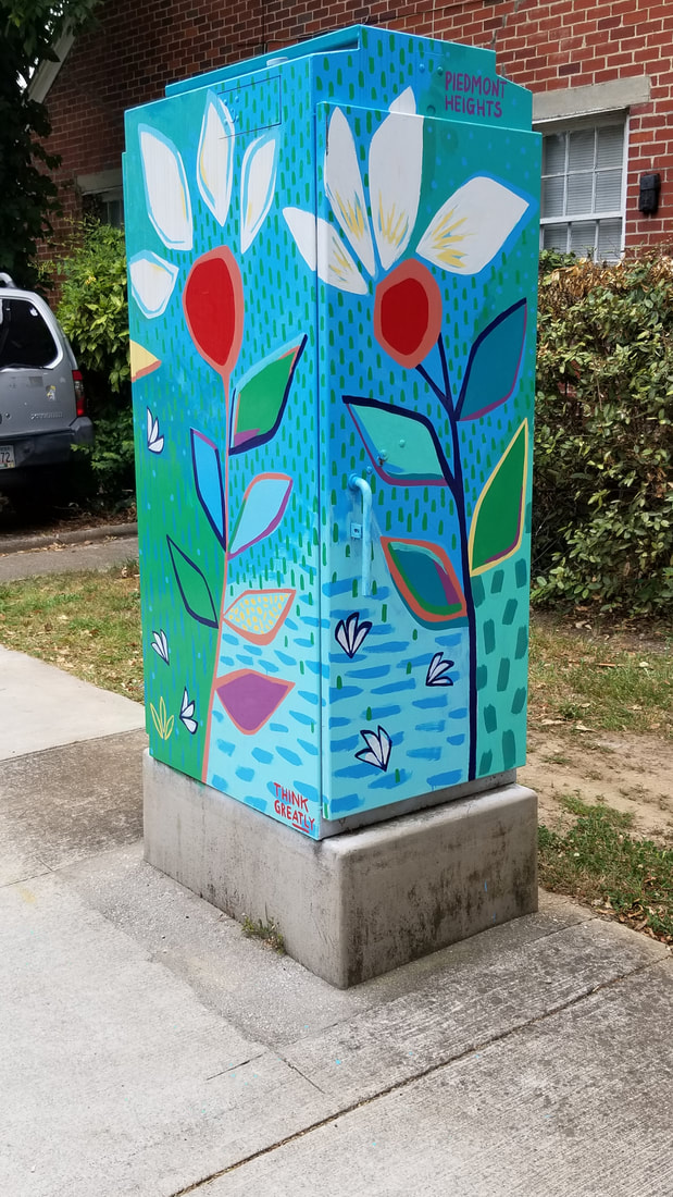
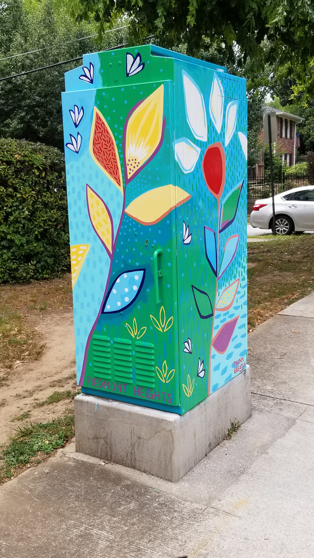
Street View - Close-up
|

Satellite View (note commercial dev along Monroe & Piedmont)
|
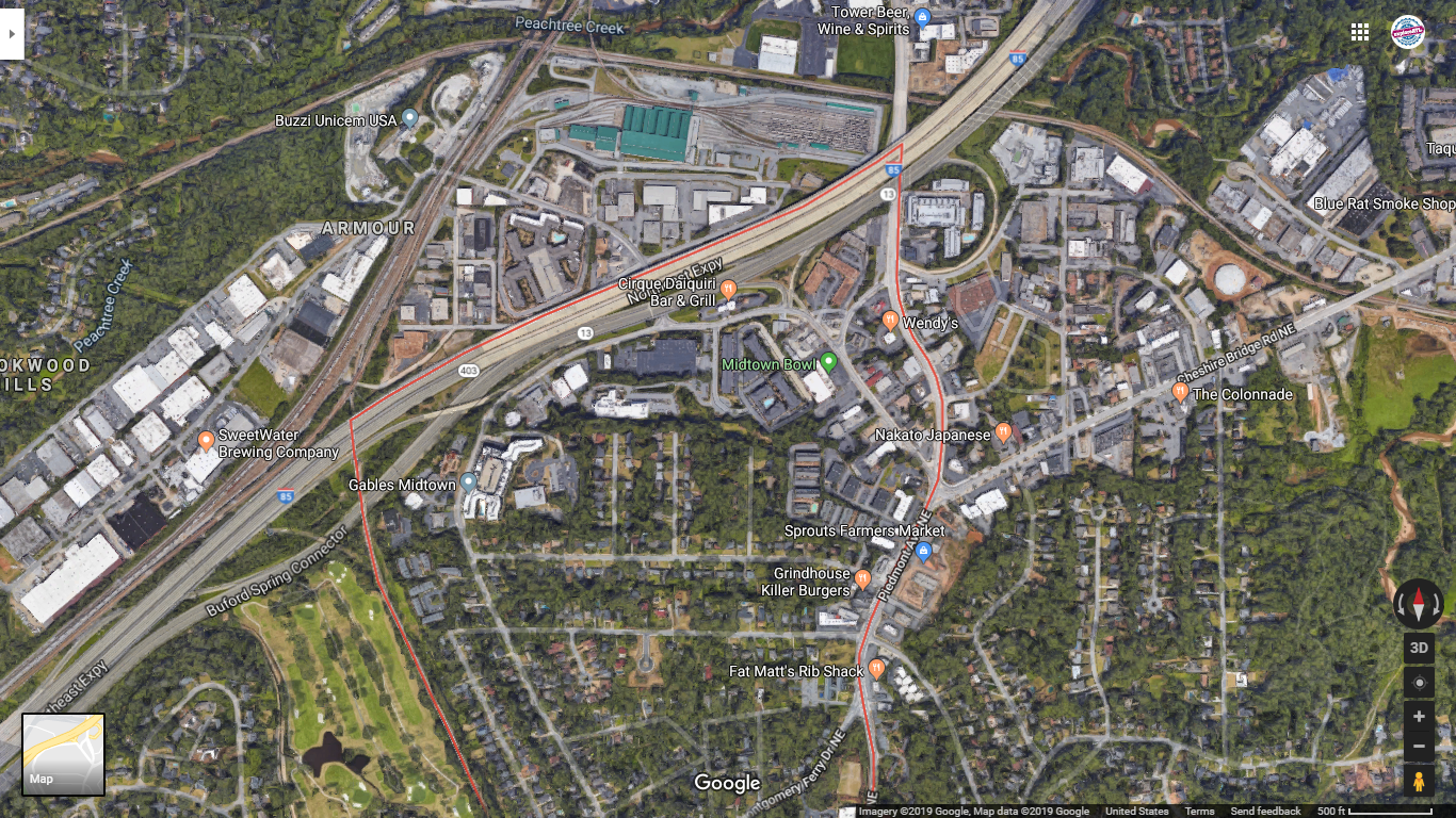
Satellite View Close-up (note I-85 + Armour Yard to the north)
|
Confluence of north and south forks into Peachtree Creek
|
Clear Creek flows through Ansley GC
|
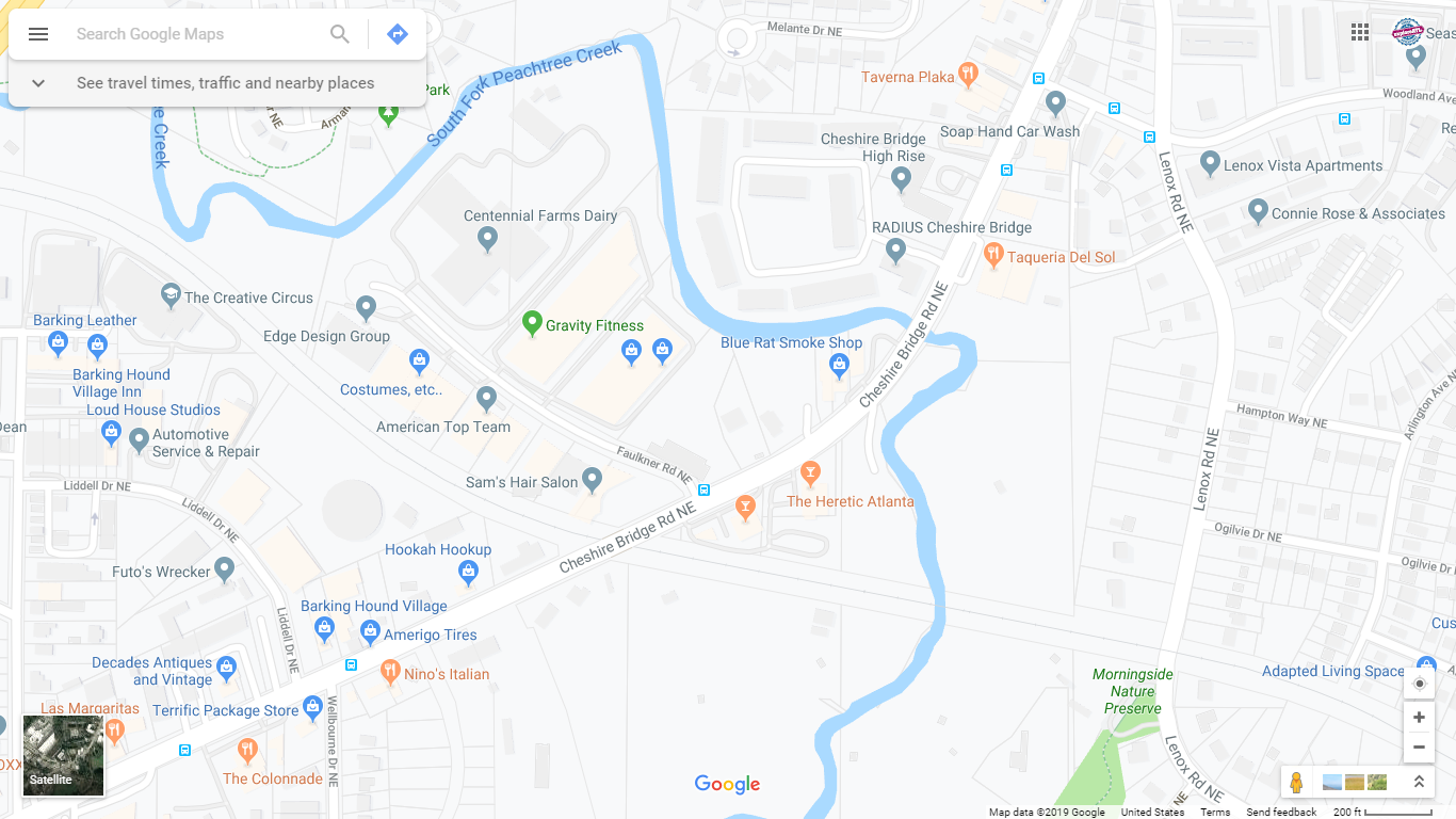
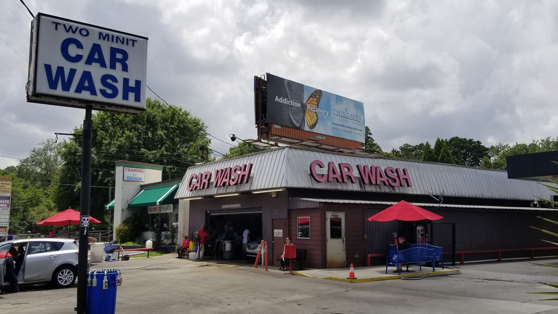
Street view of Cheshire Bridge
|

Satellite view of Cheshire Bridge
|
Supporting Images
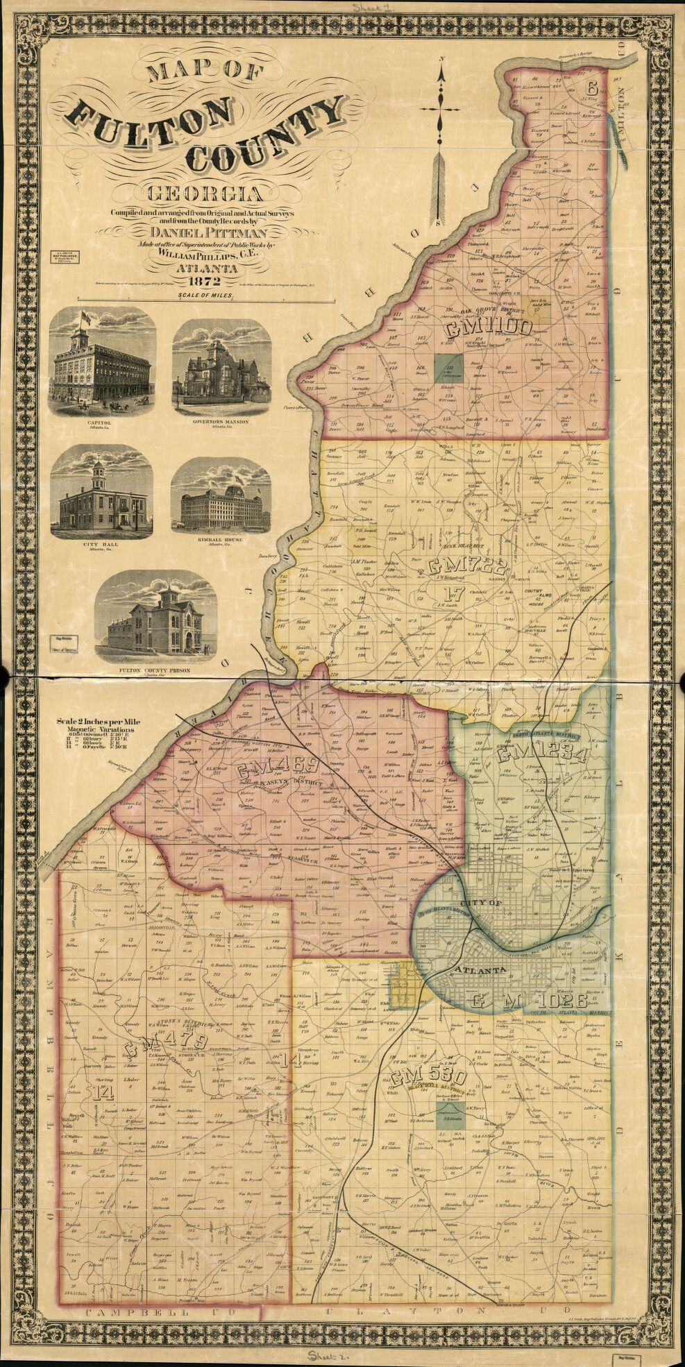
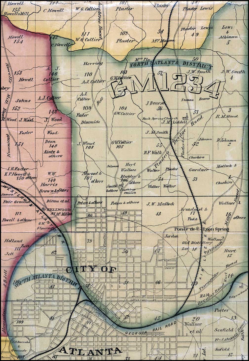
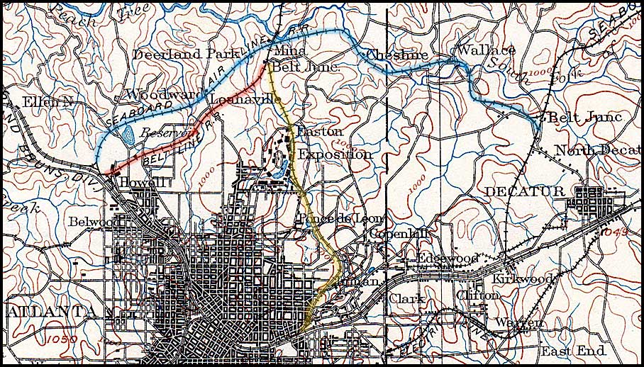
Historical Maps
Piedmont Heights Civic Association
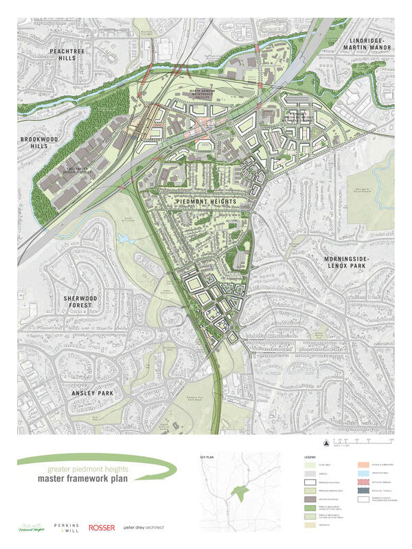
Piedmont Heights Master Plan, 2012
|
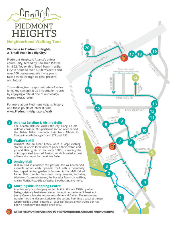
Piedmont Heights Self-Guided Walking Tour & Map
|
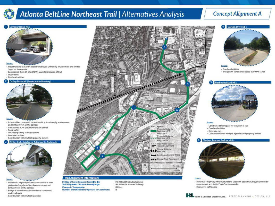
Atlanta Beltline Redevelopment Plan

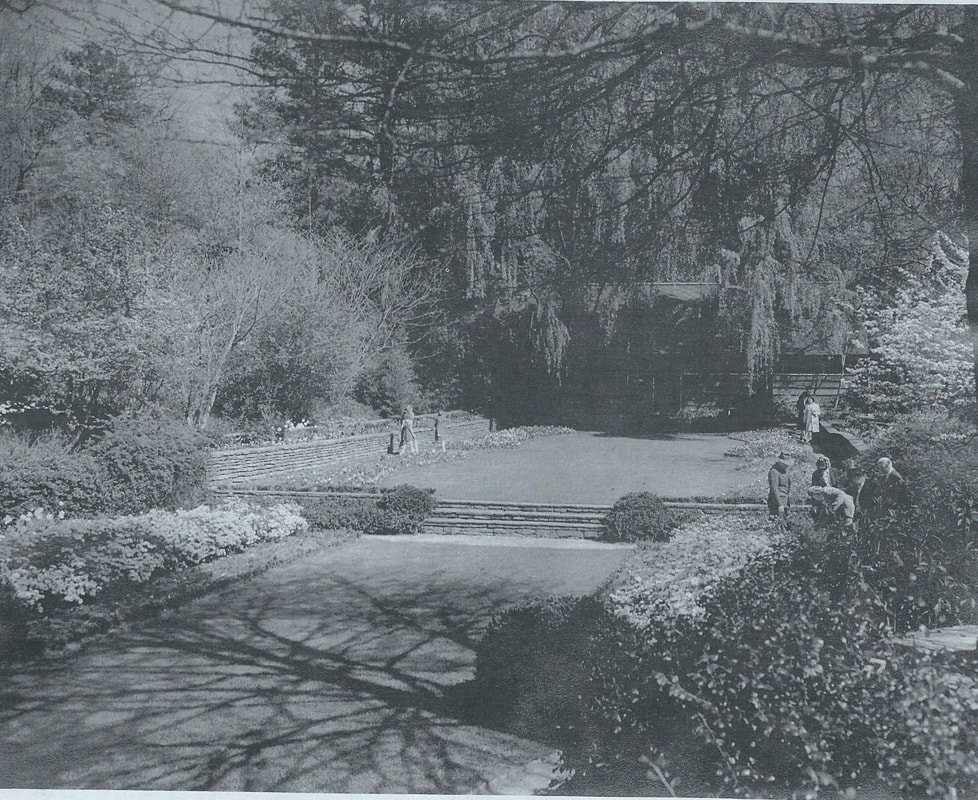
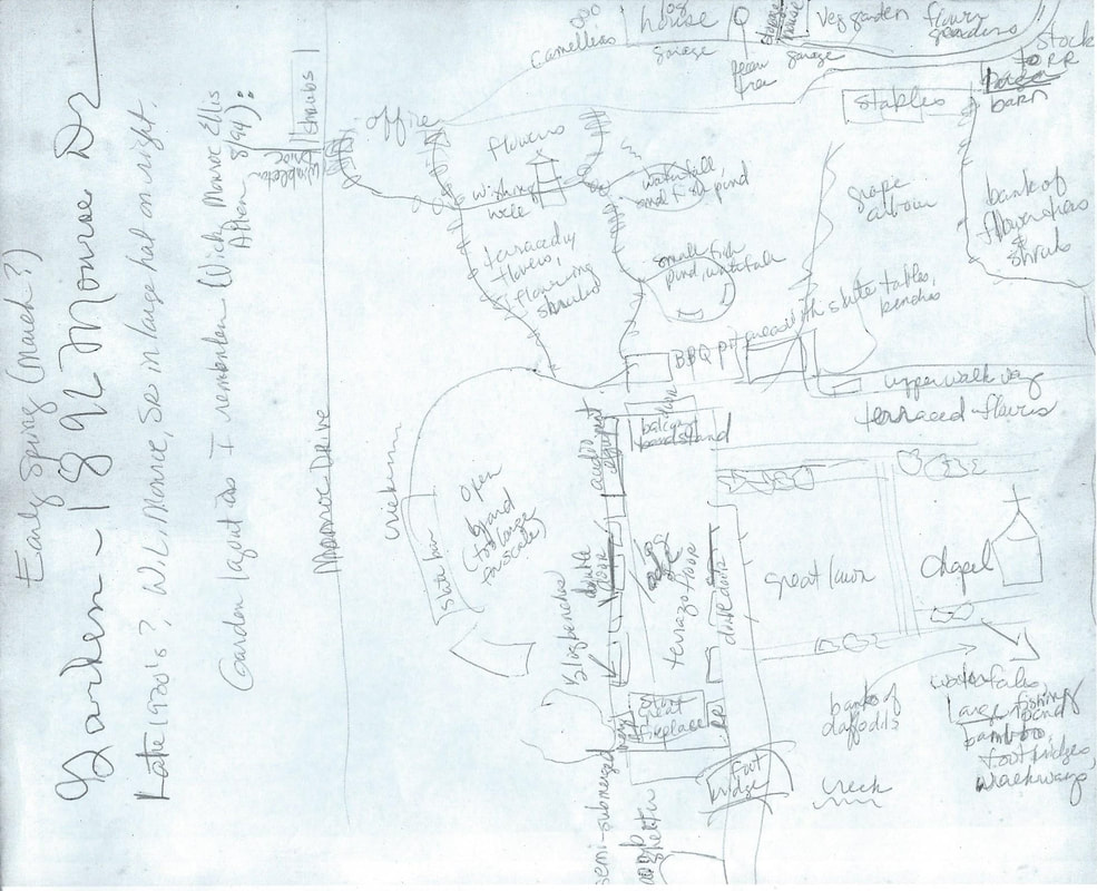
Photos Provided by Vicky Allen-Monroe
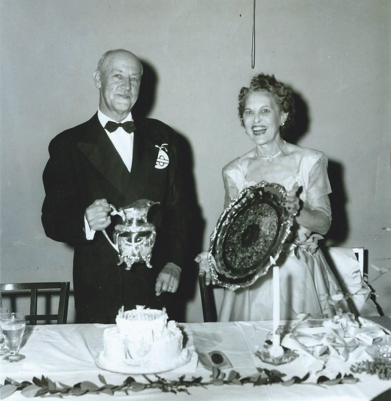
The Monores at Cherokee Town Club
|
|
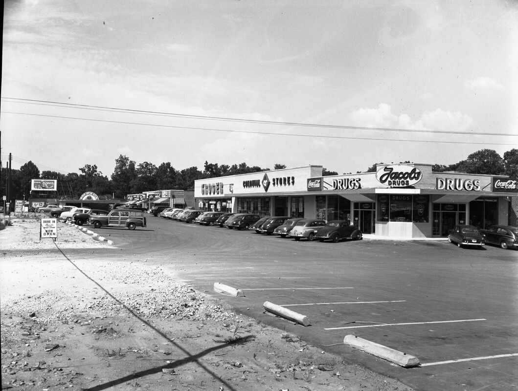
Shopping center @ Piedmont & Rock Springs, 1950
|
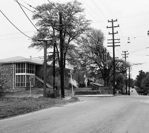
Corner of Monroe & Montgomery Ferry, c1952
|
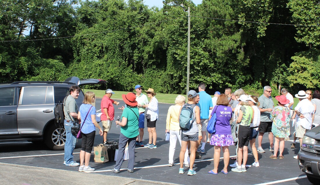
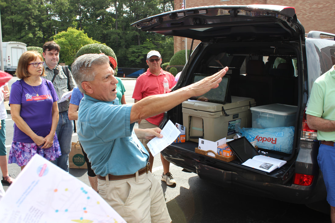
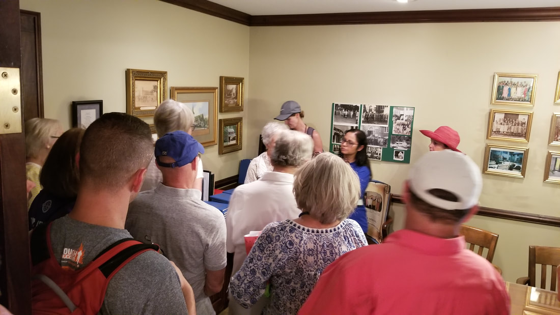
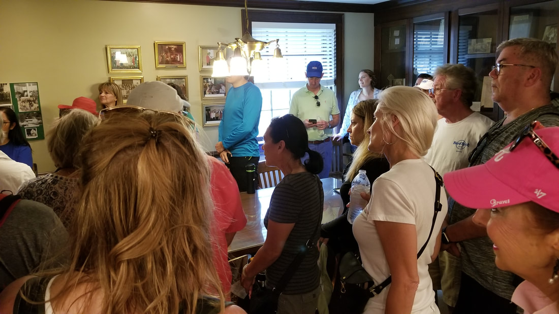
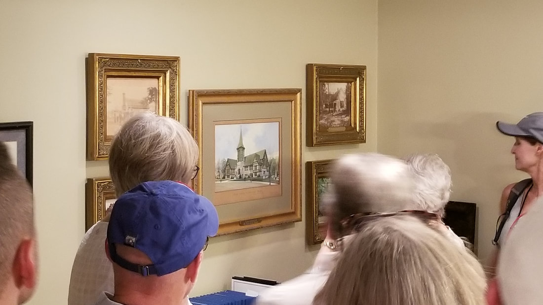
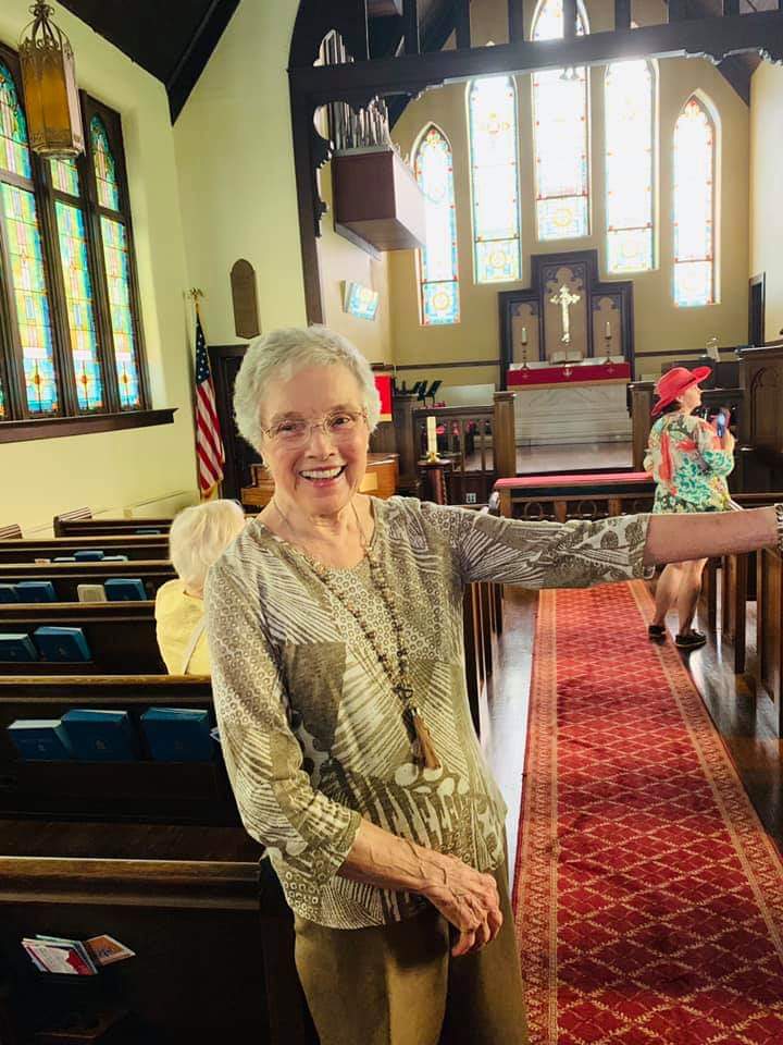
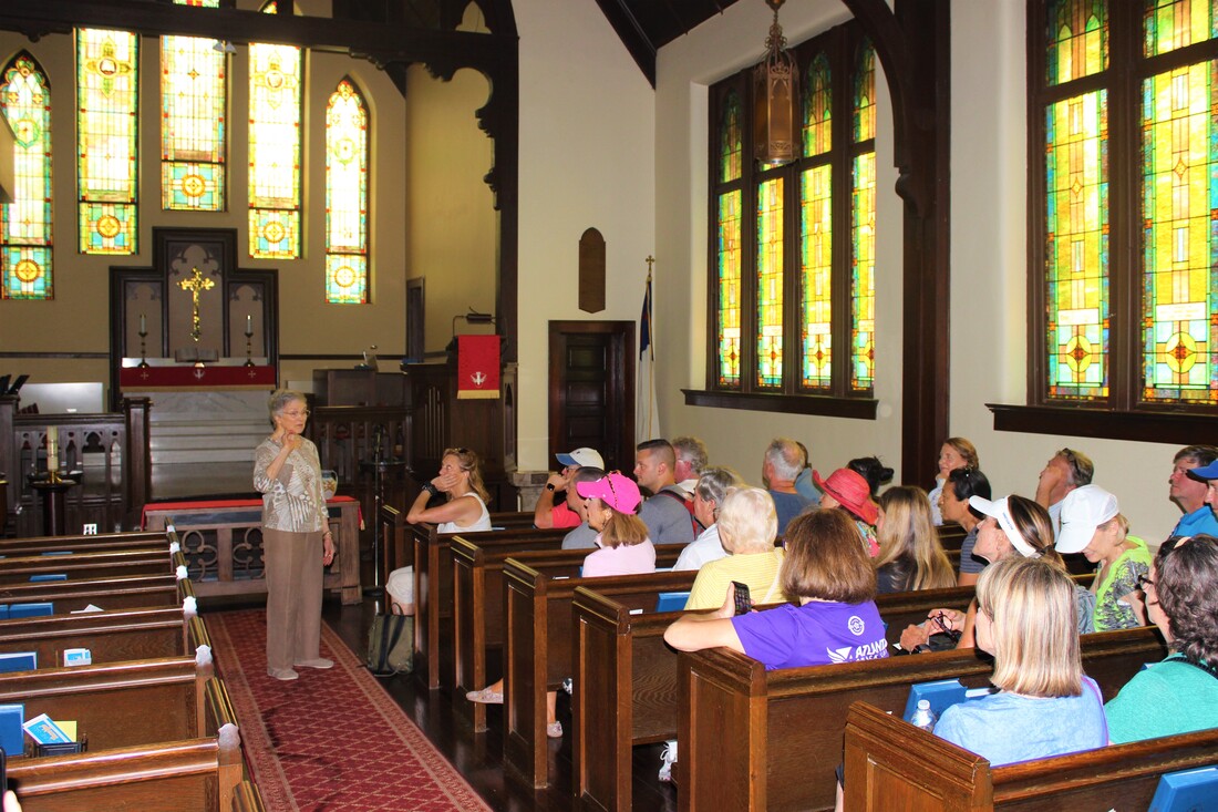
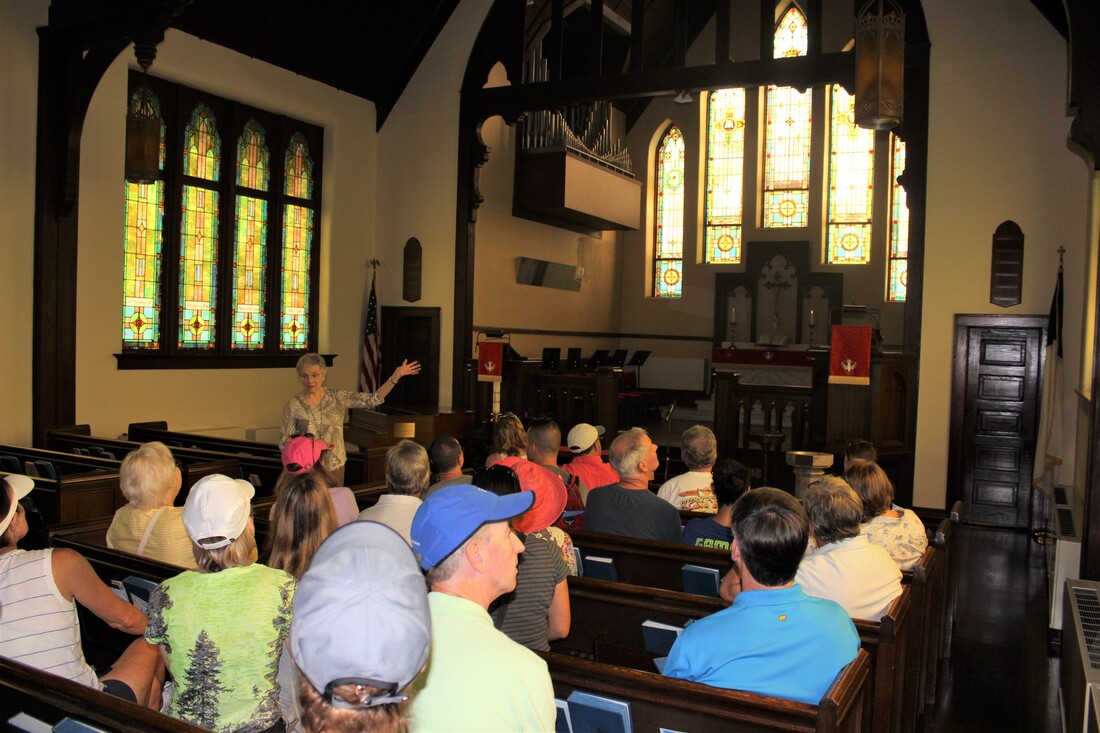
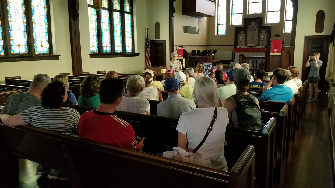
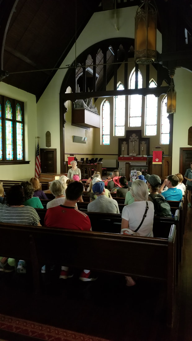
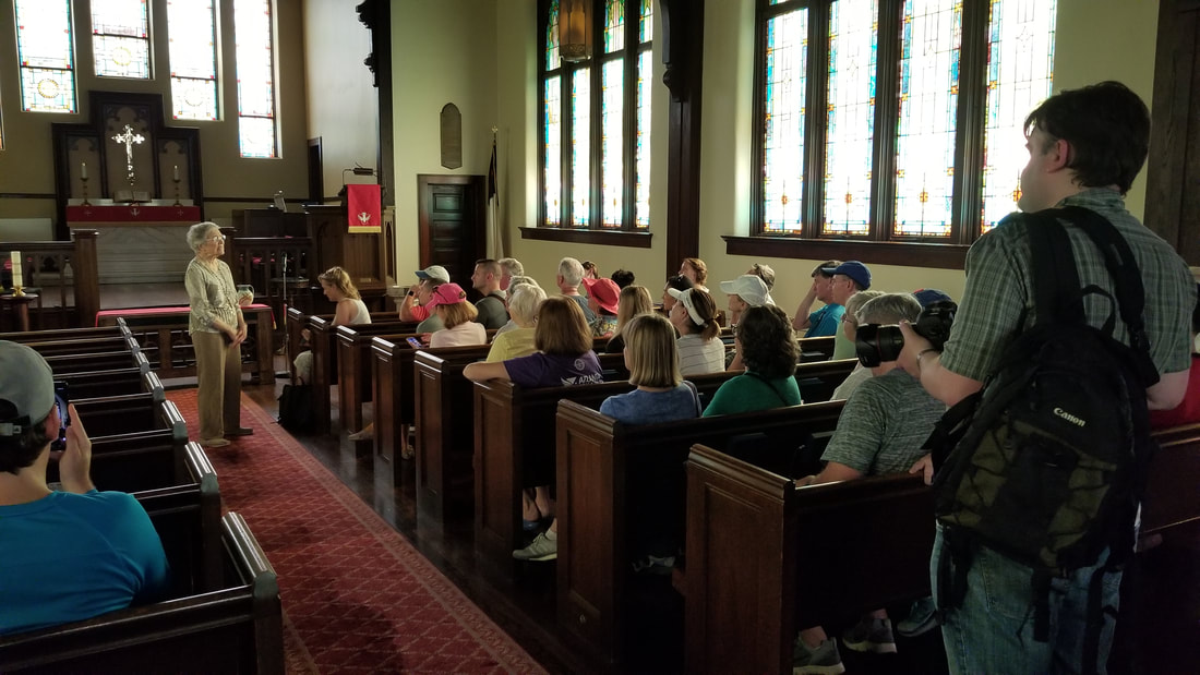
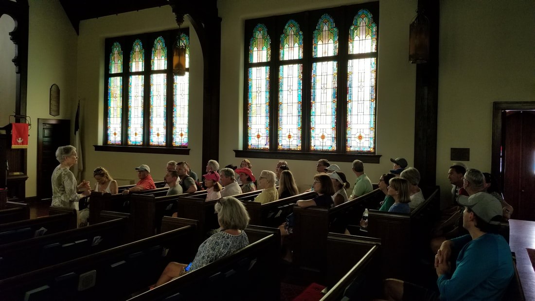
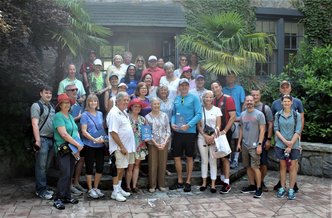
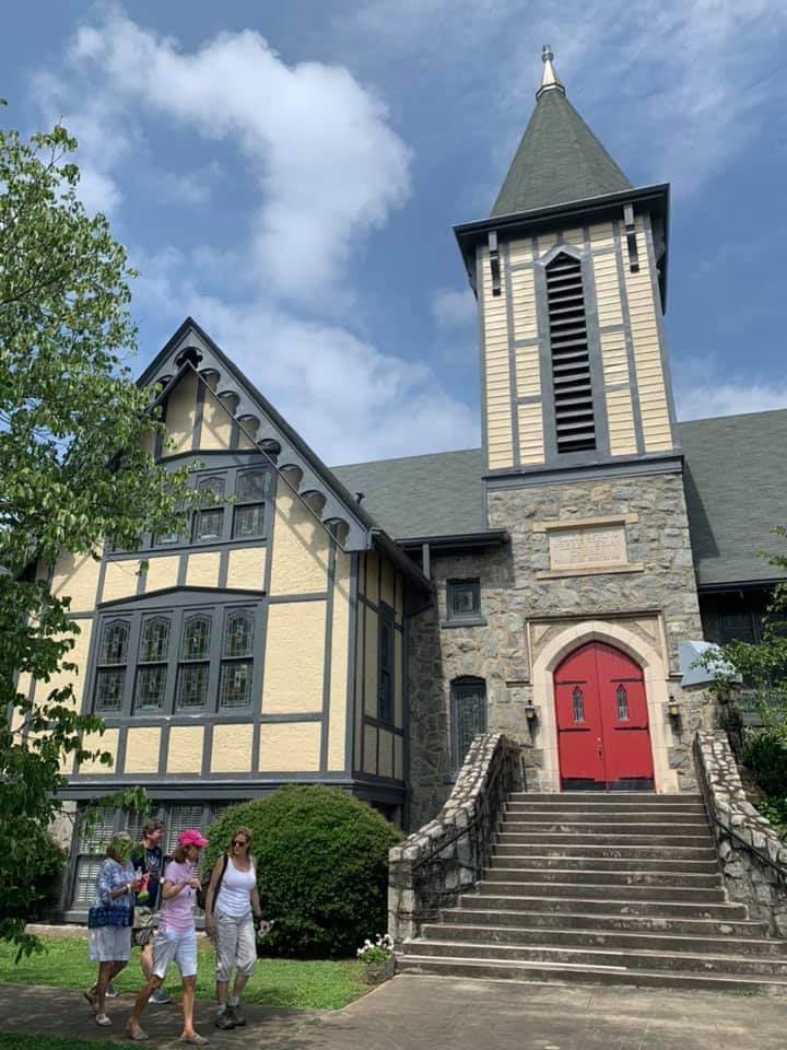
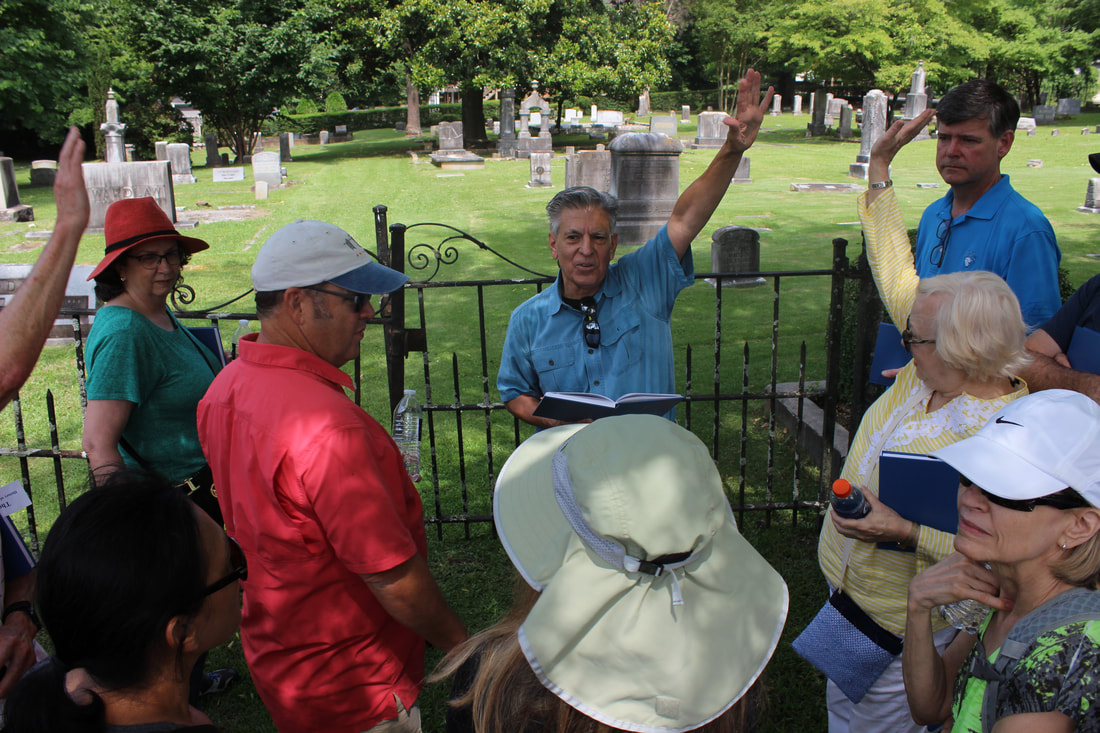
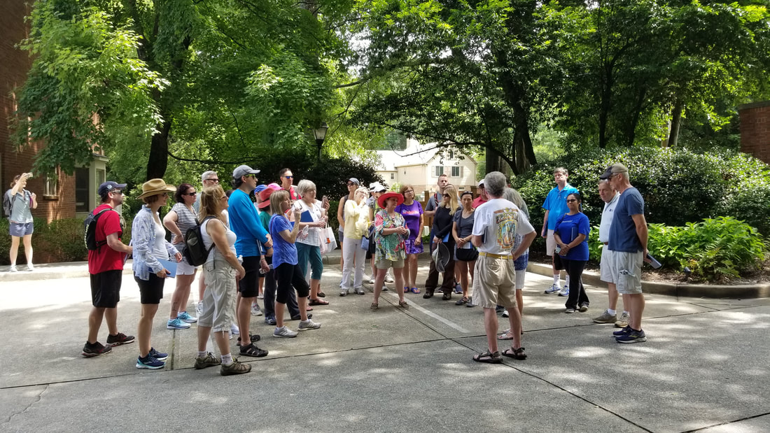
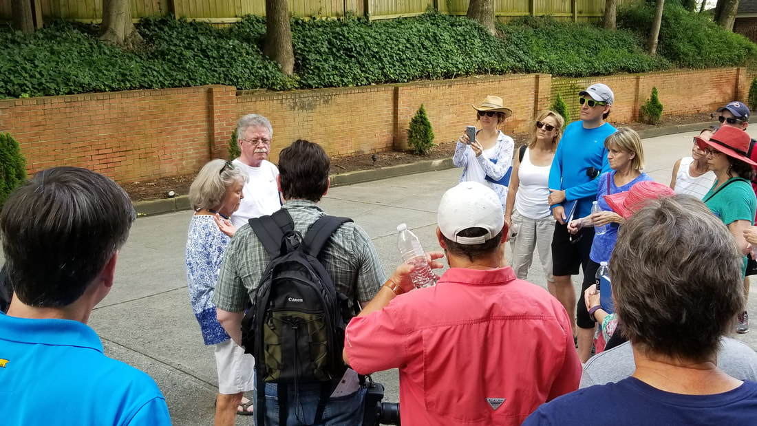
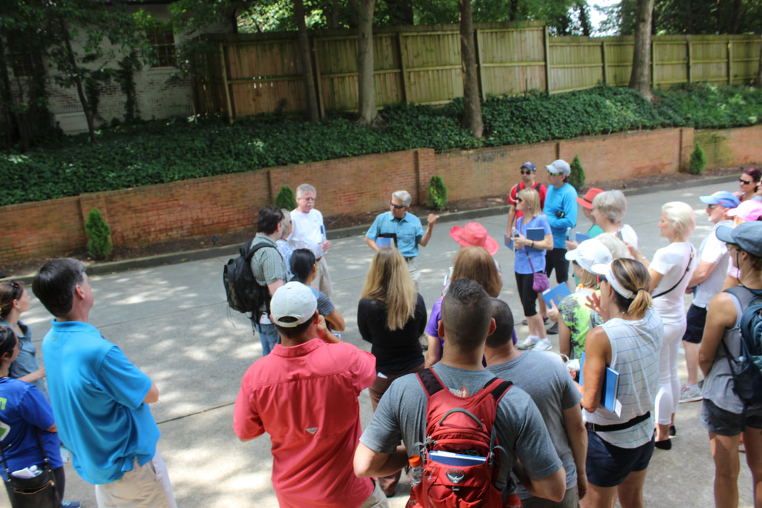
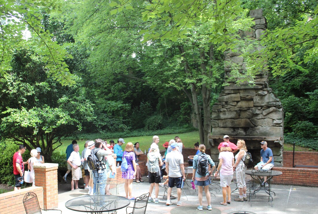
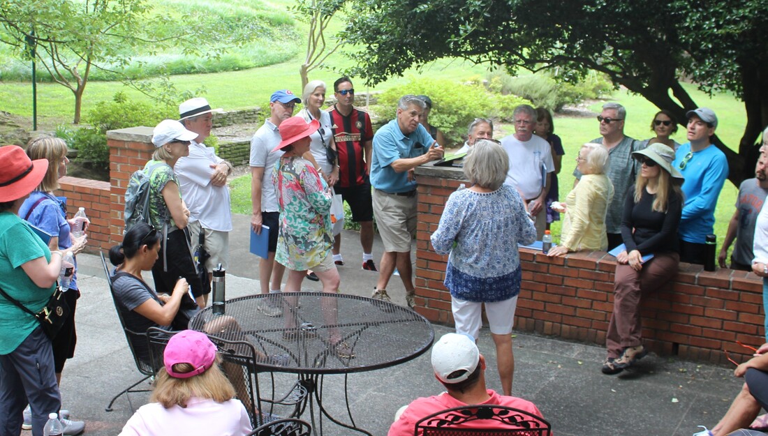
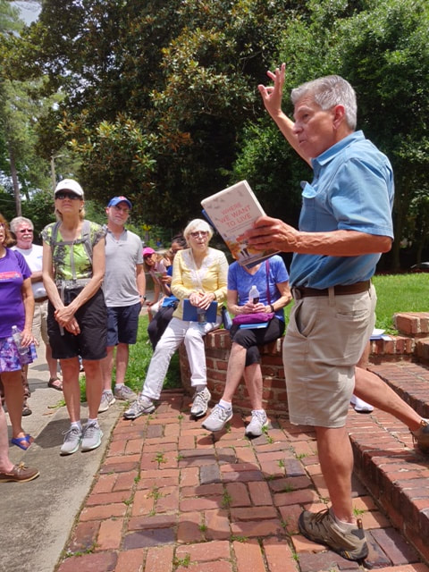
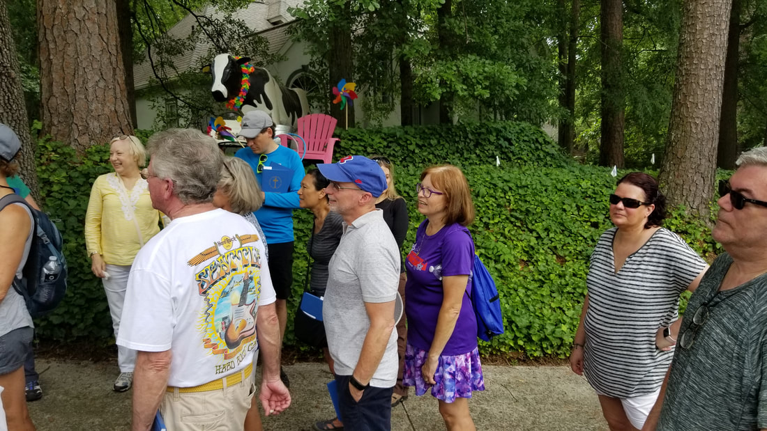
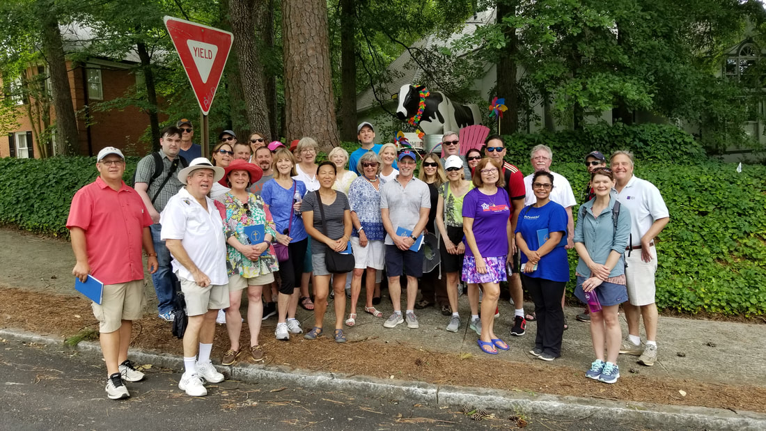
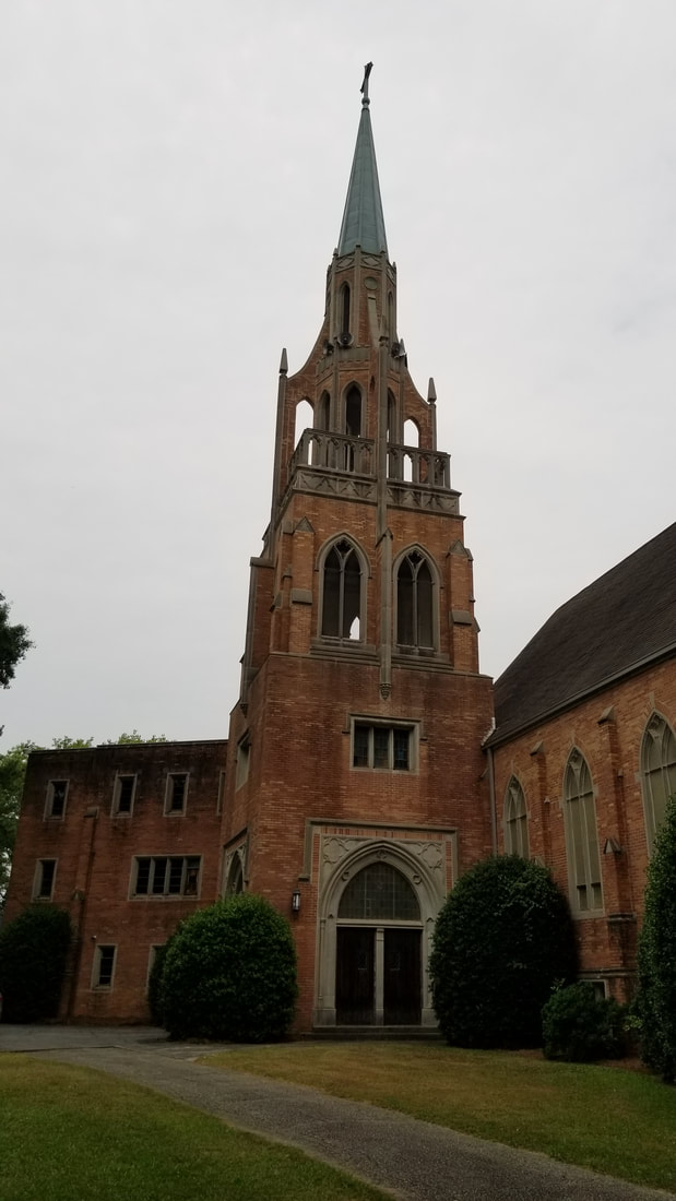
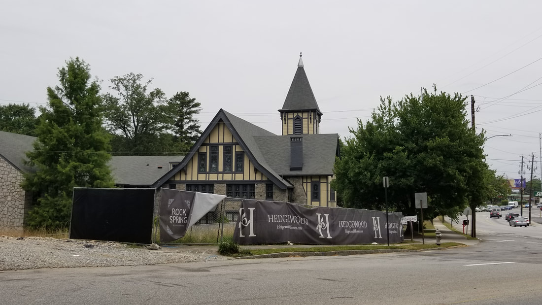
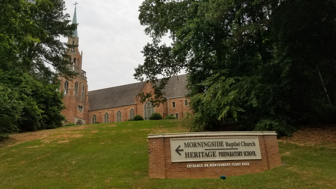
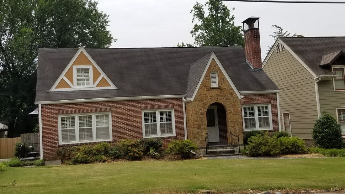
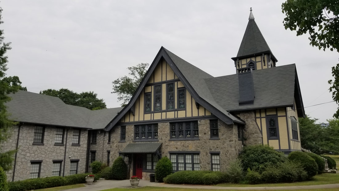
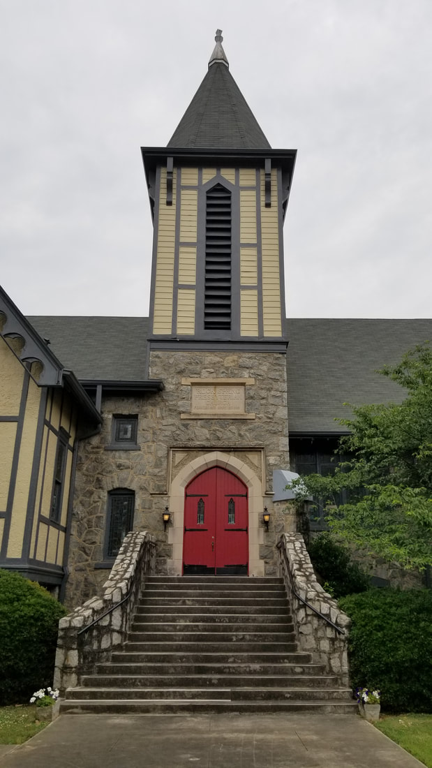
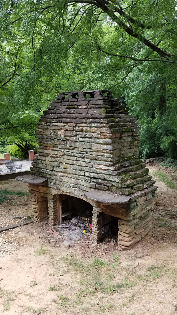
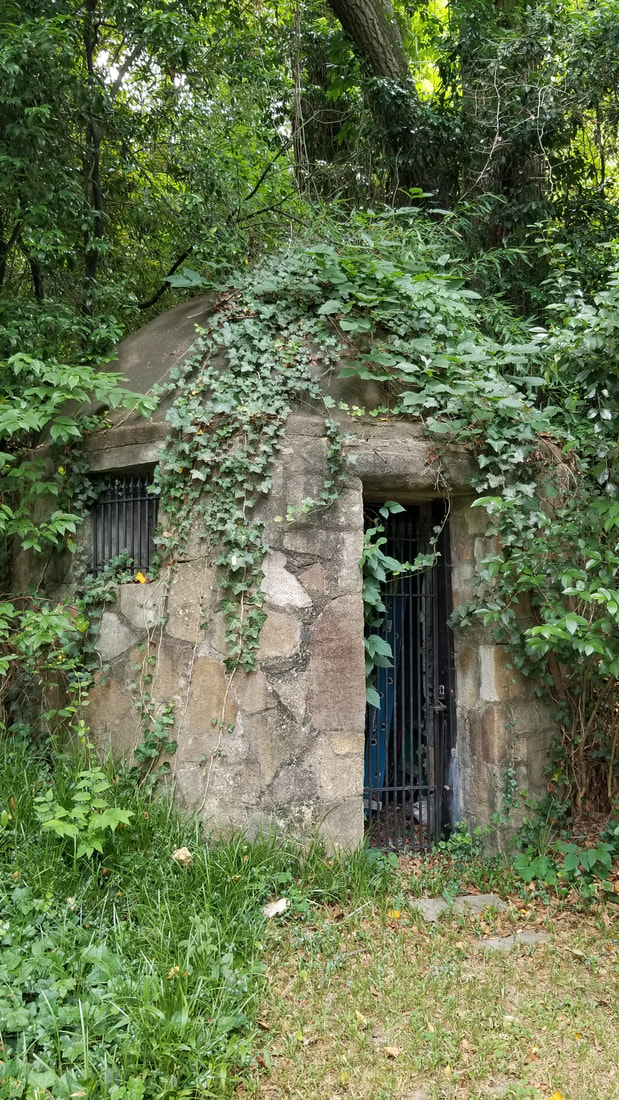
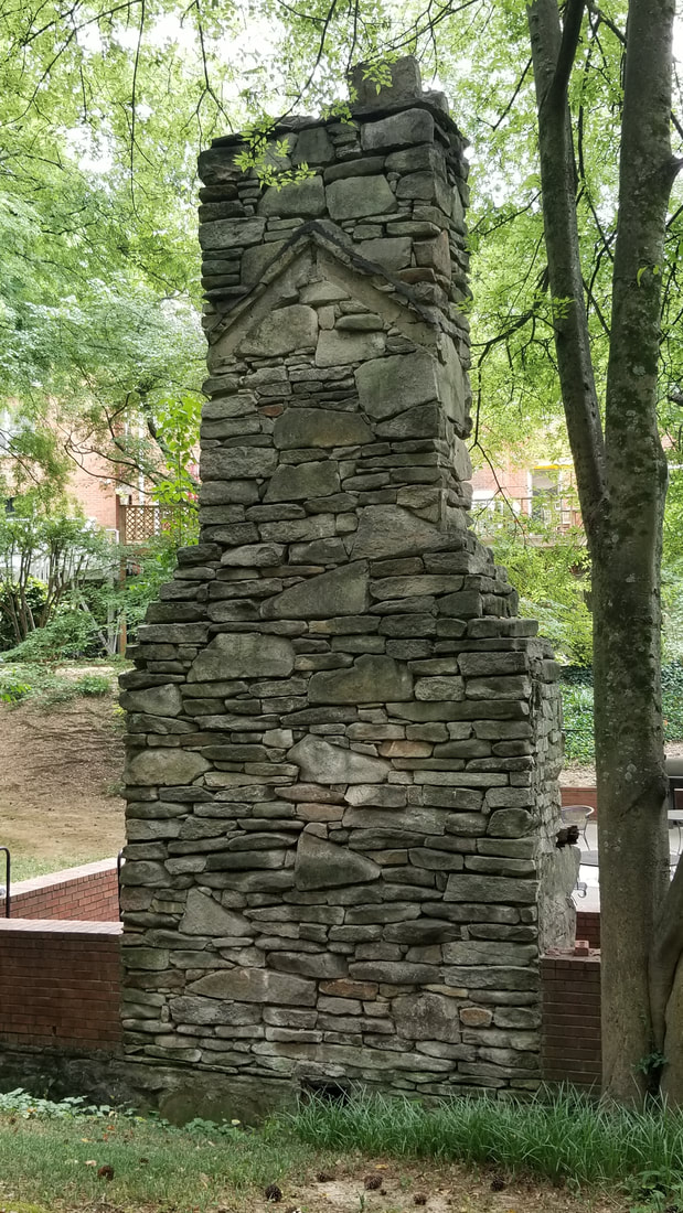
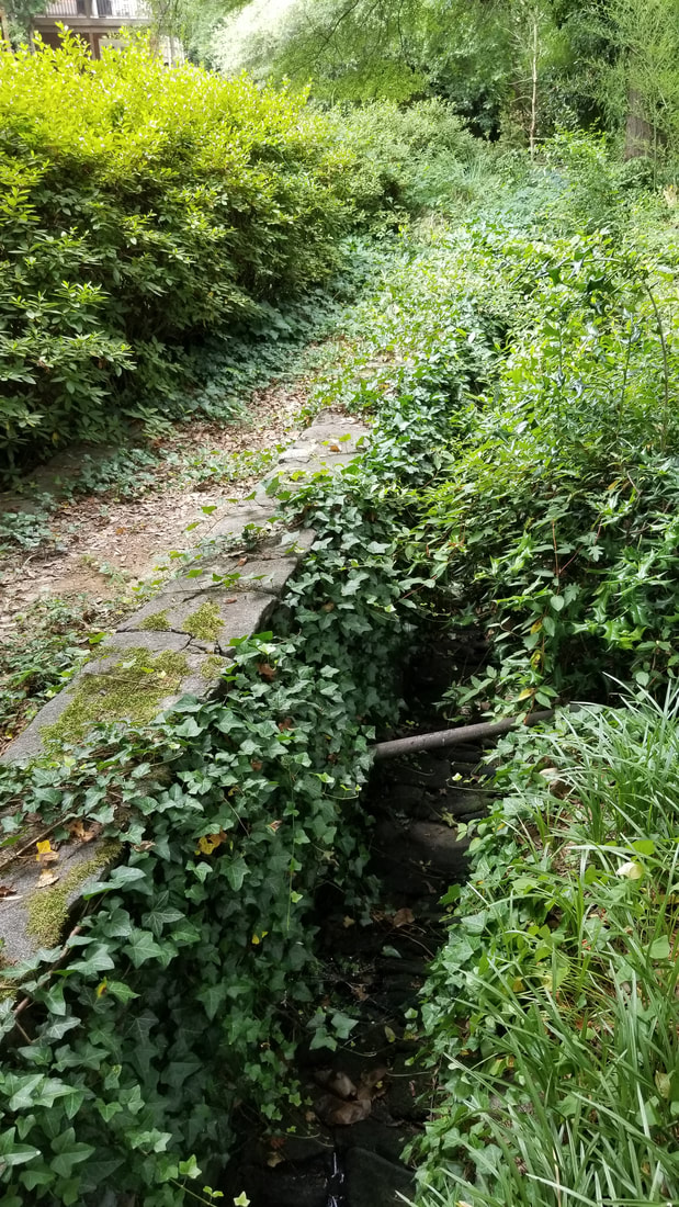
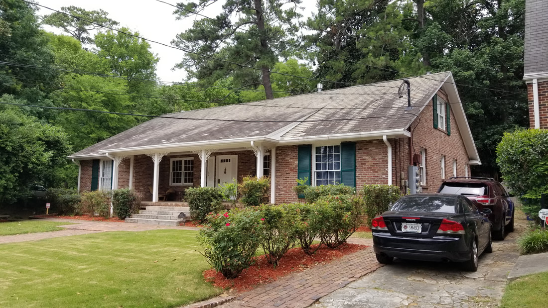
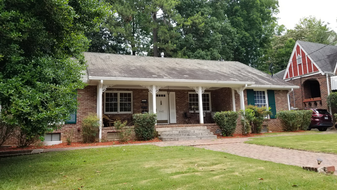
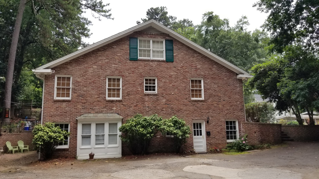
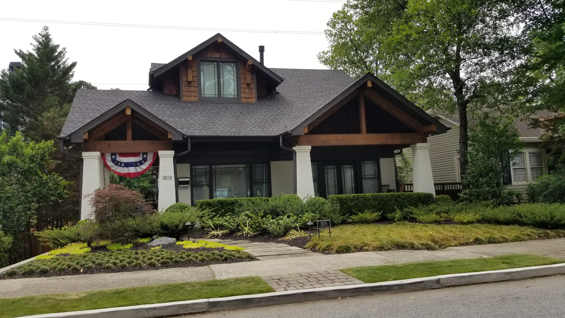
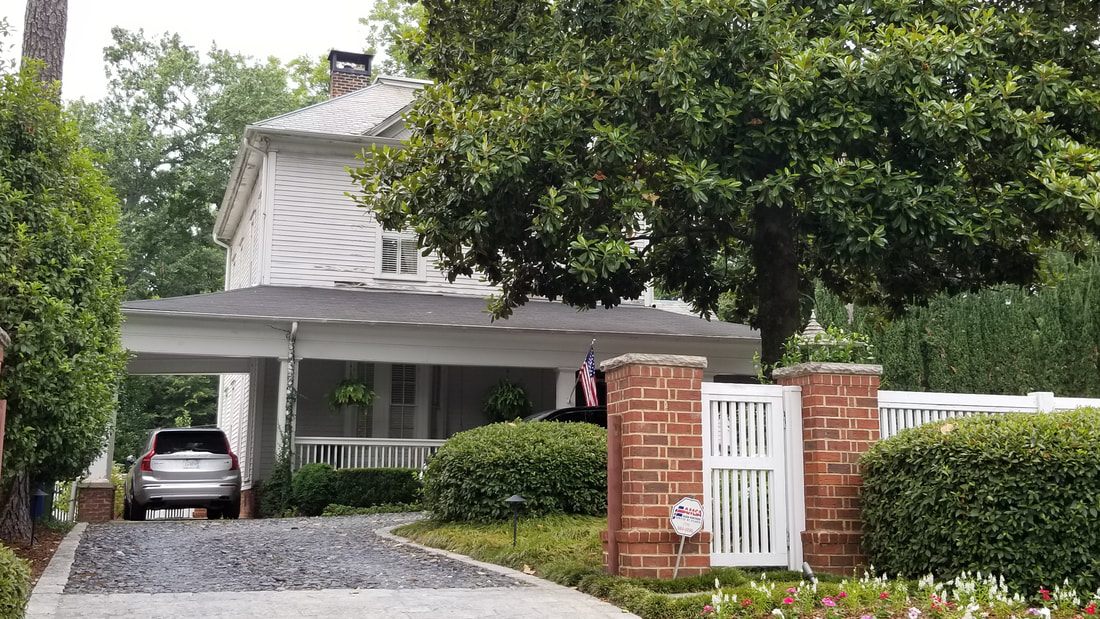
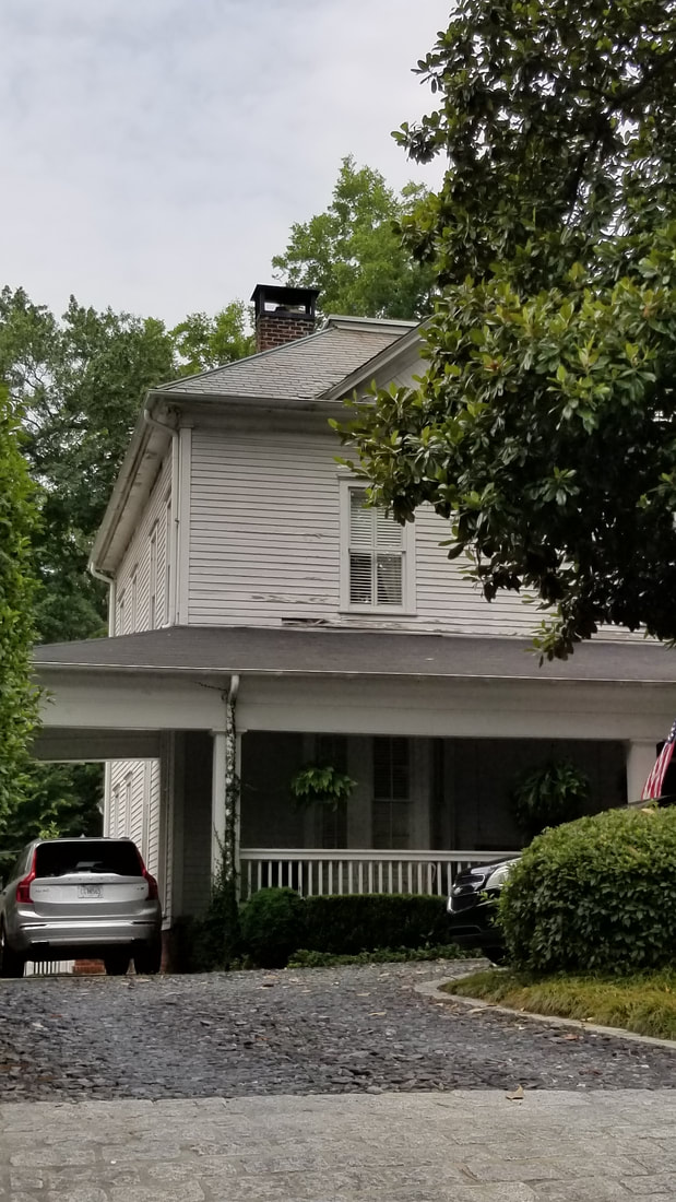
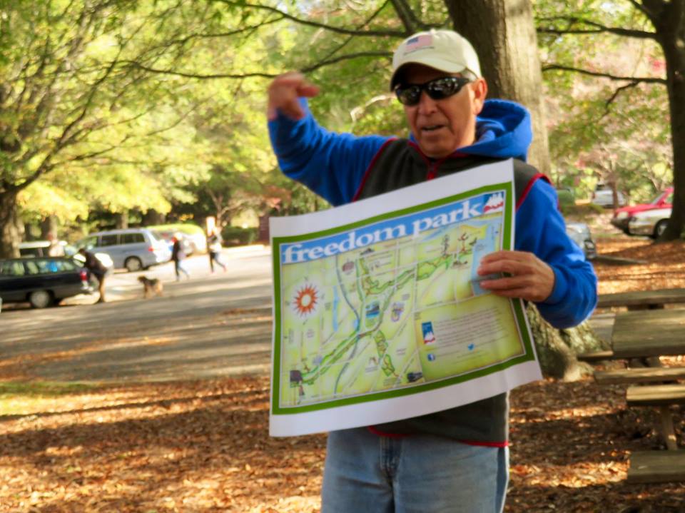
Tour Photos [9.22.19]


Explore More*
|
* More links will be added soon. Please check back periodically.
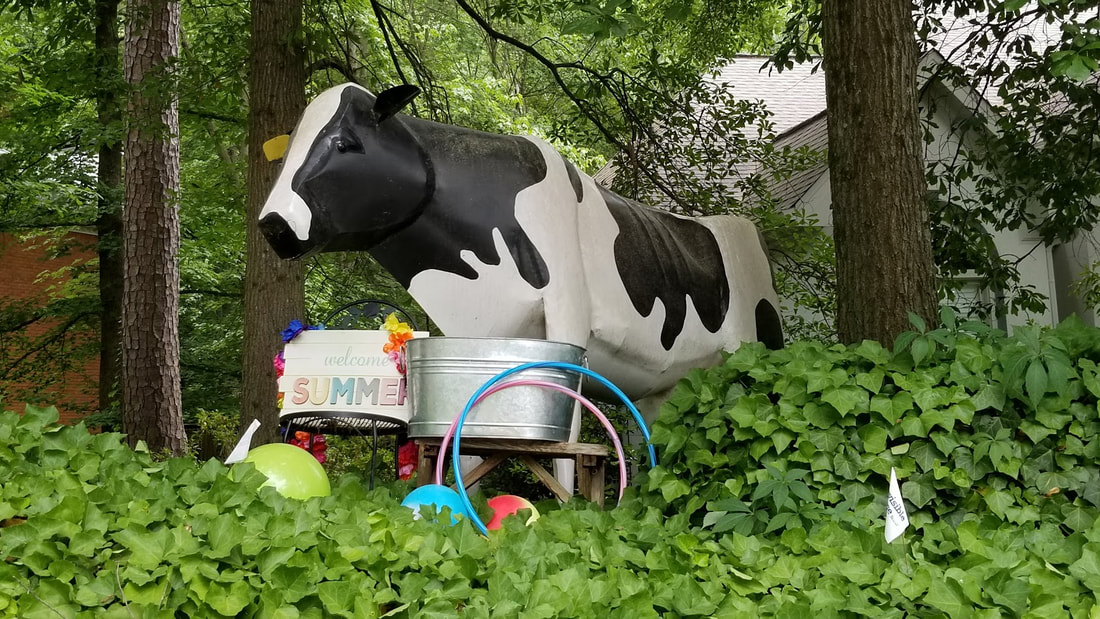
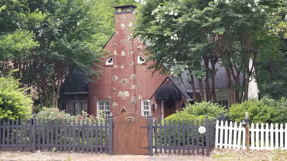
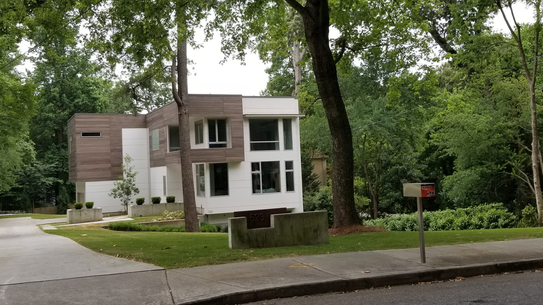
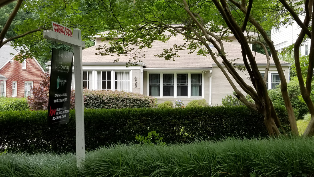
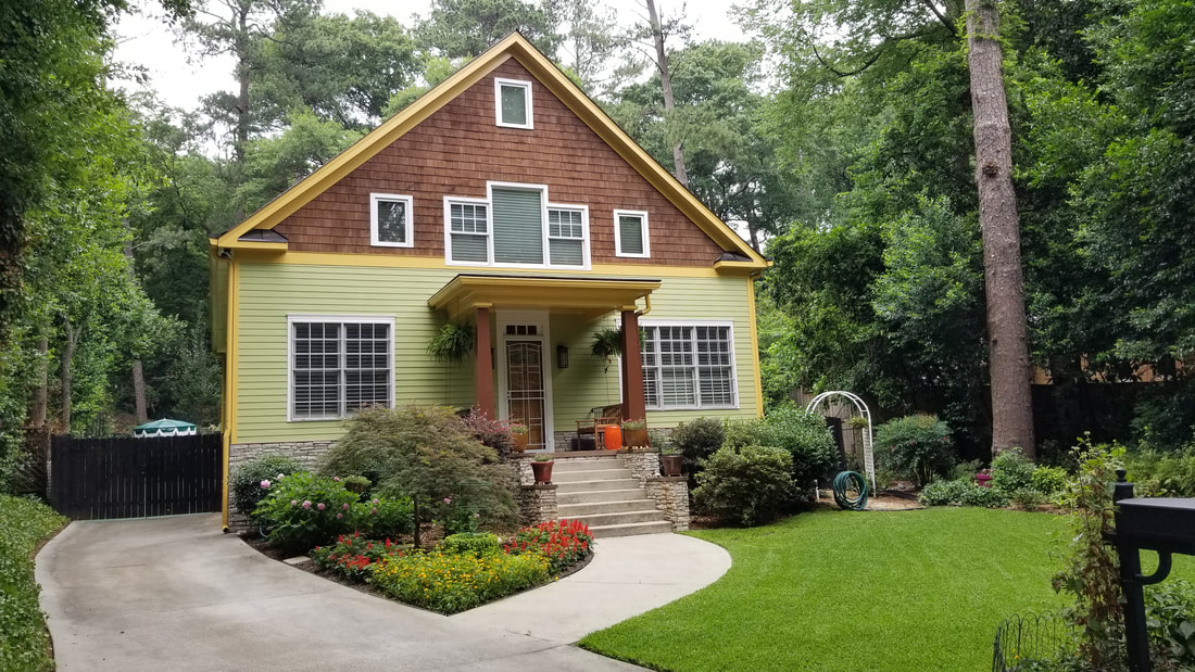
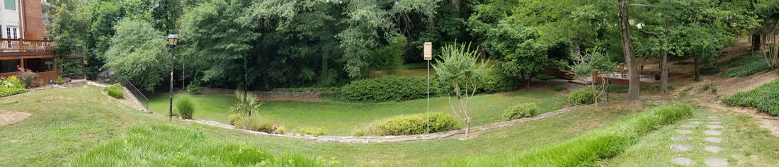
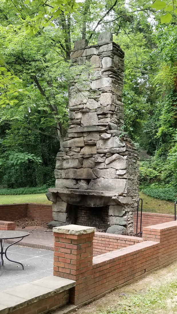
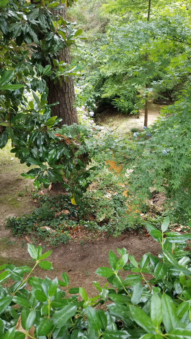
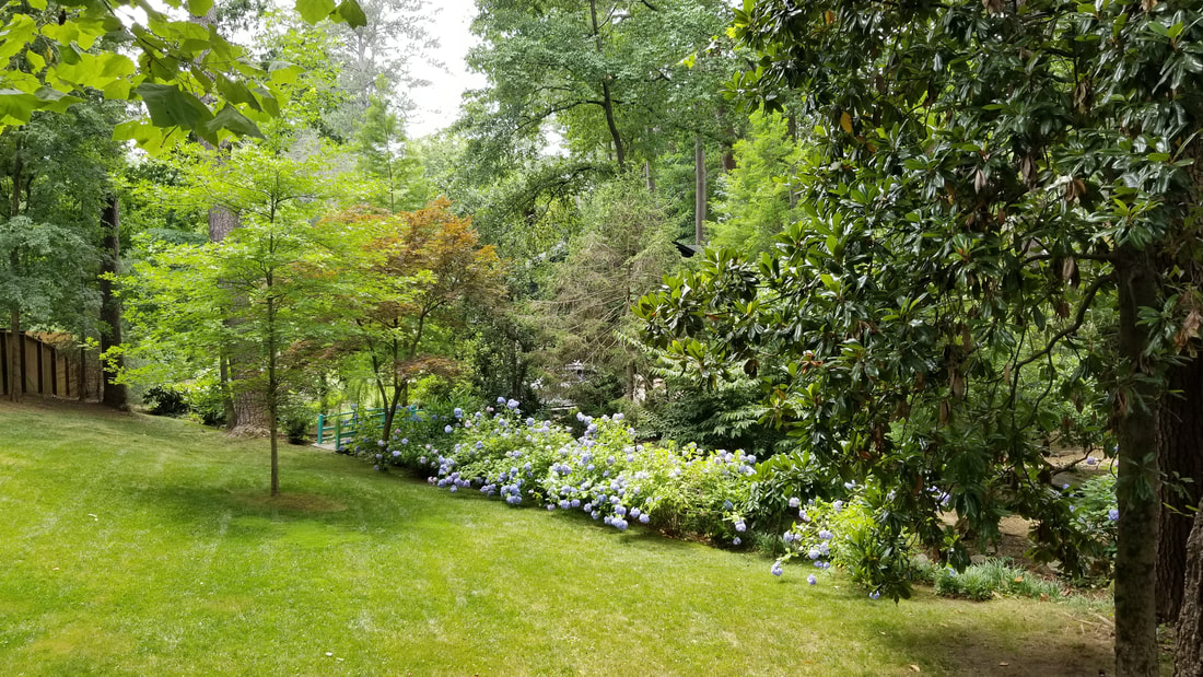
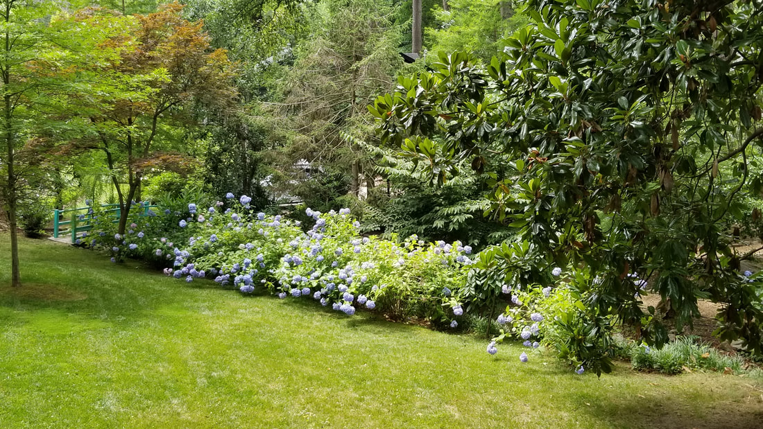
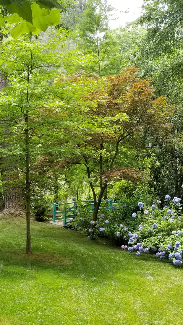
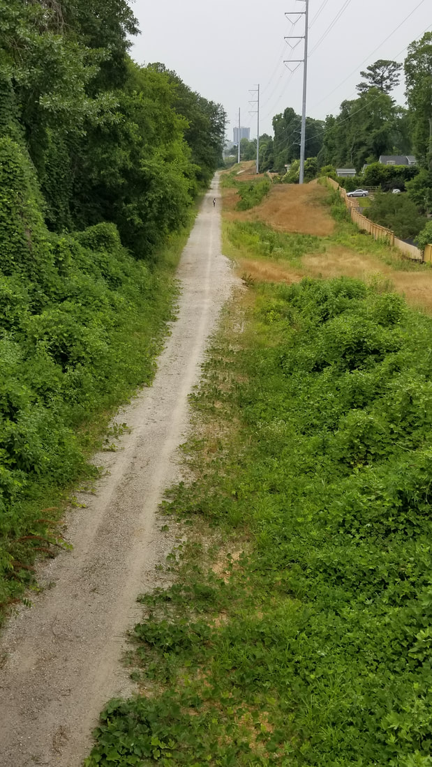
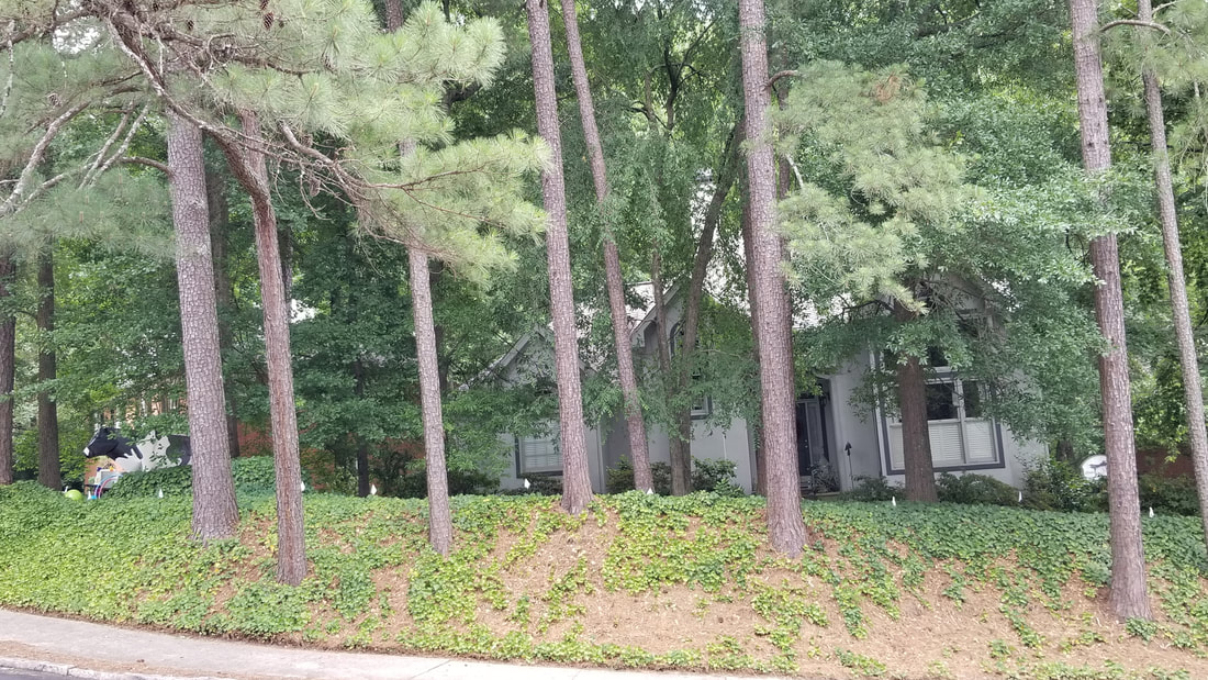
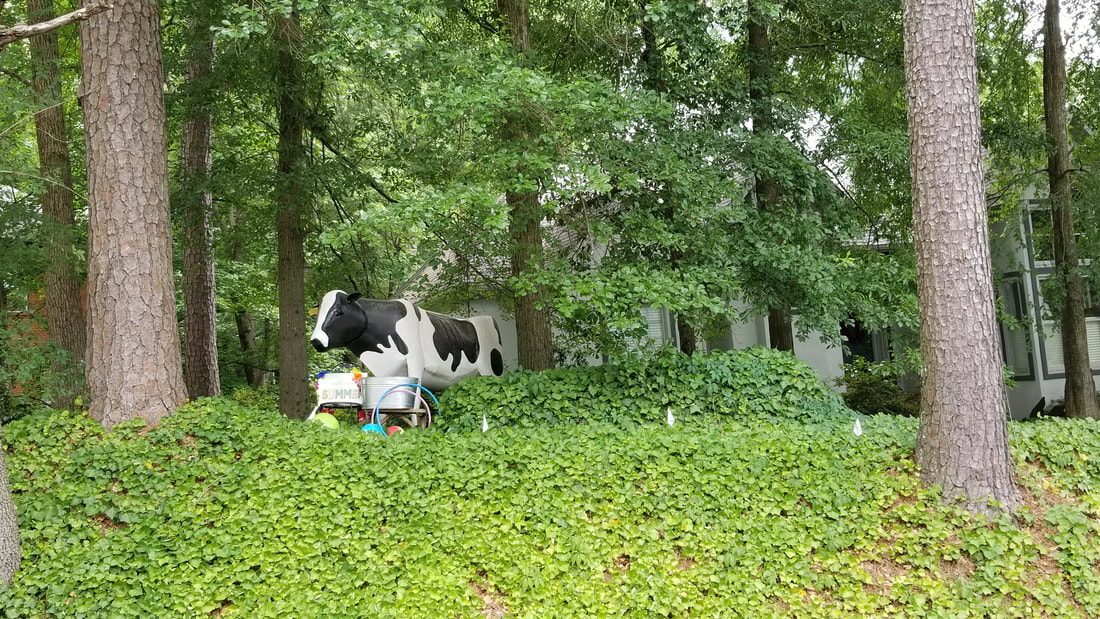
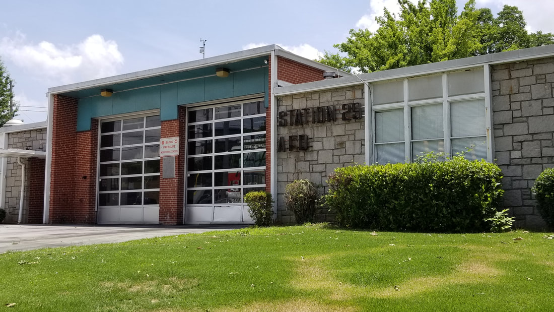
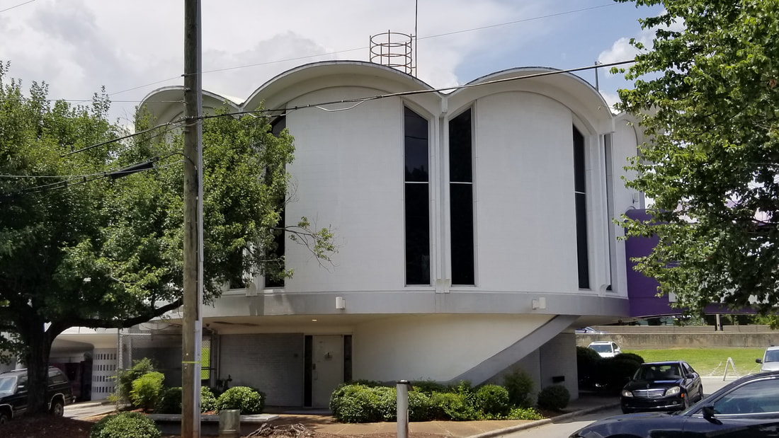
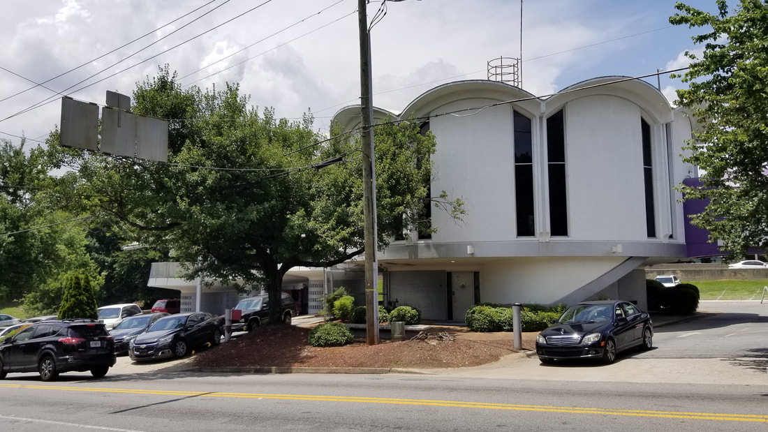
Neighborhood Photos*
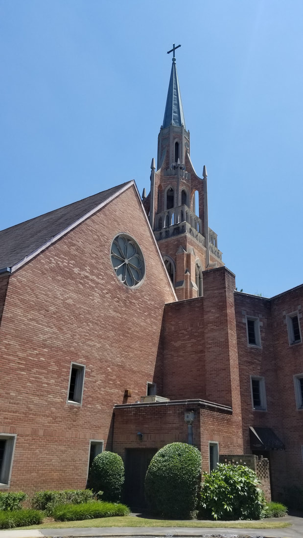
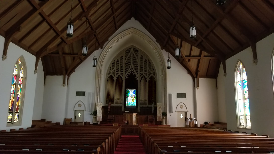
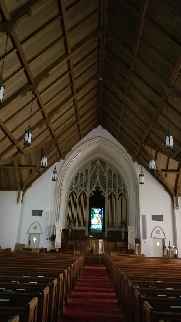


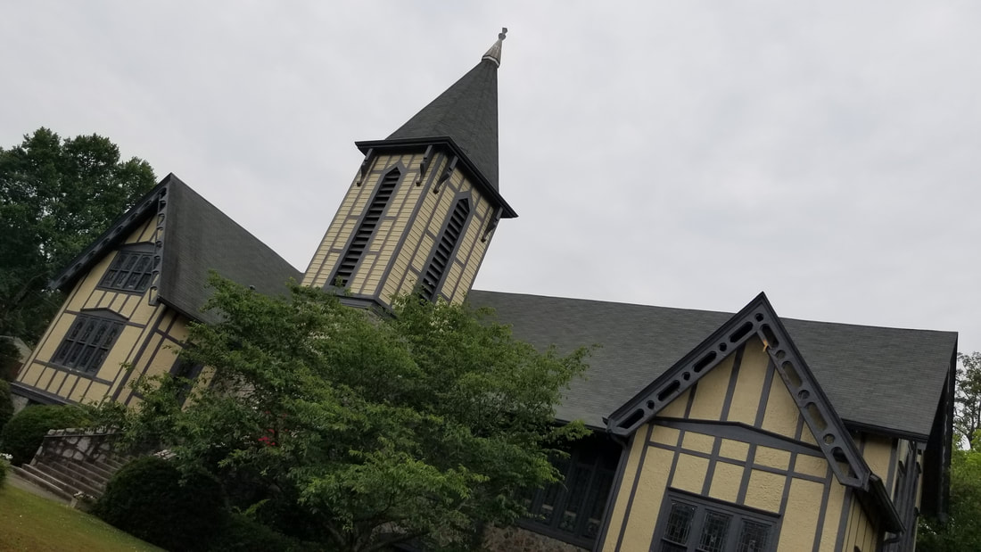
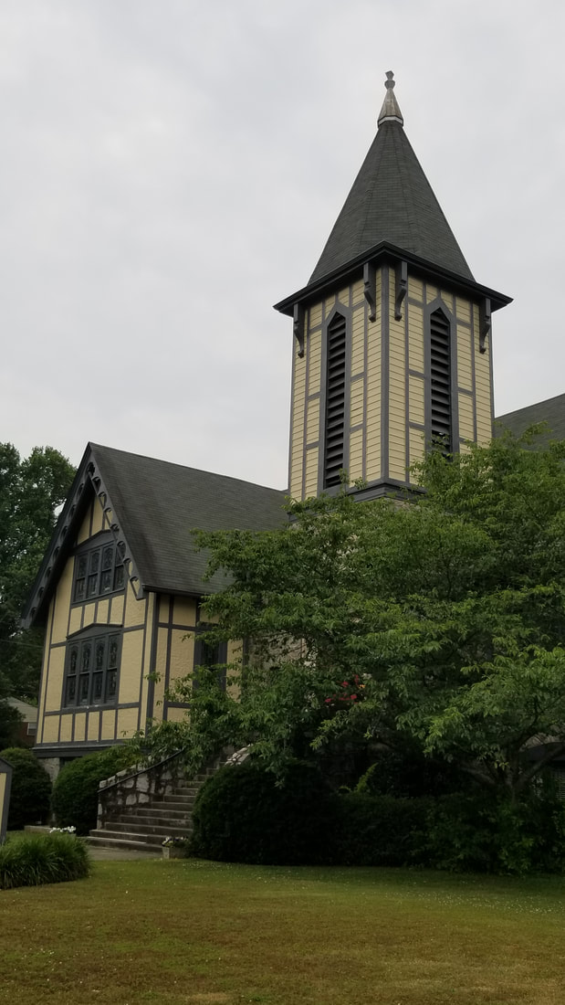
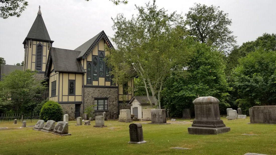


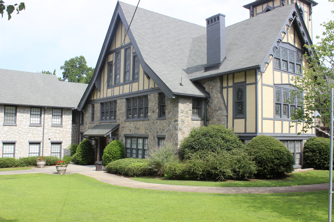
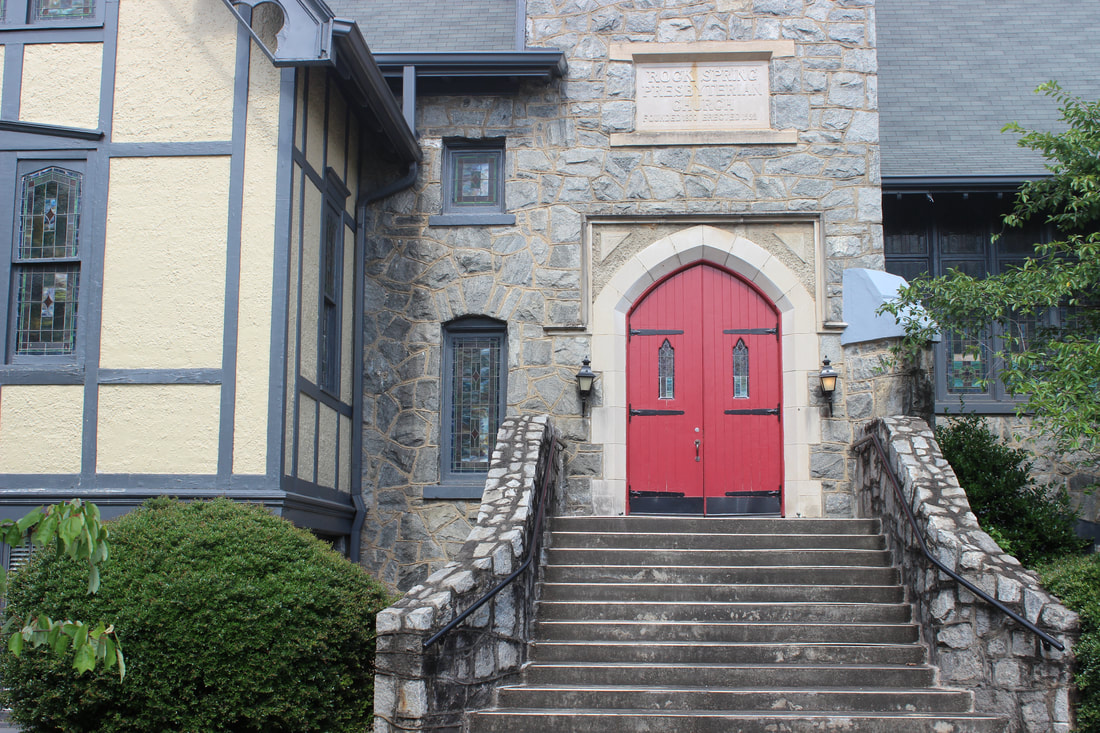
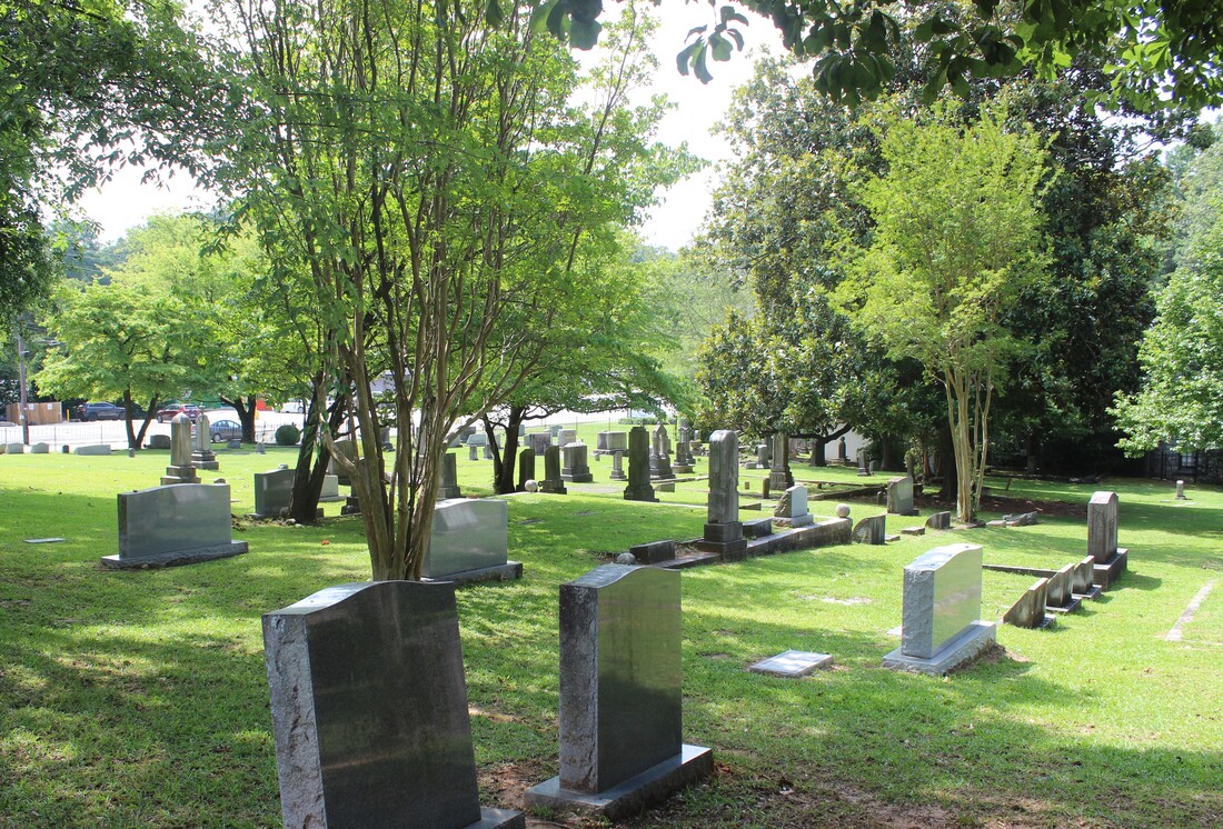
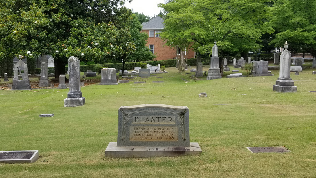
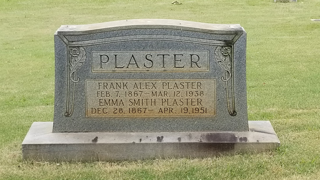
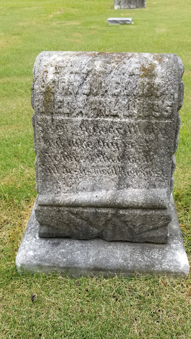
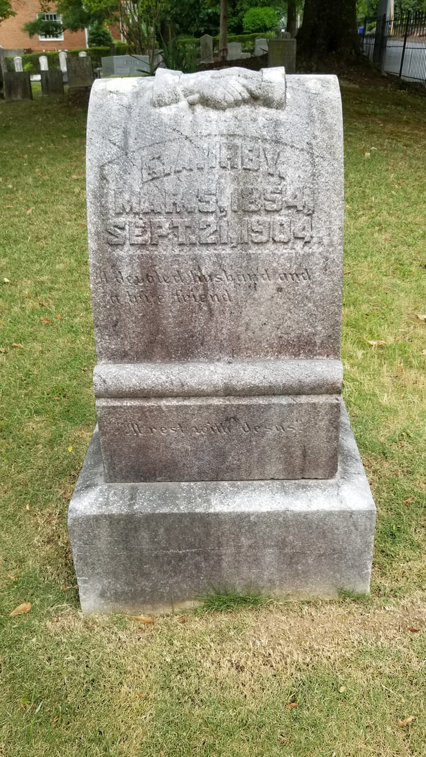
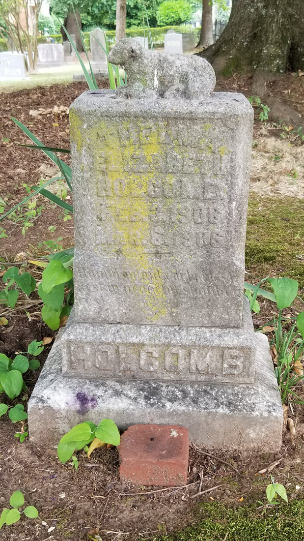
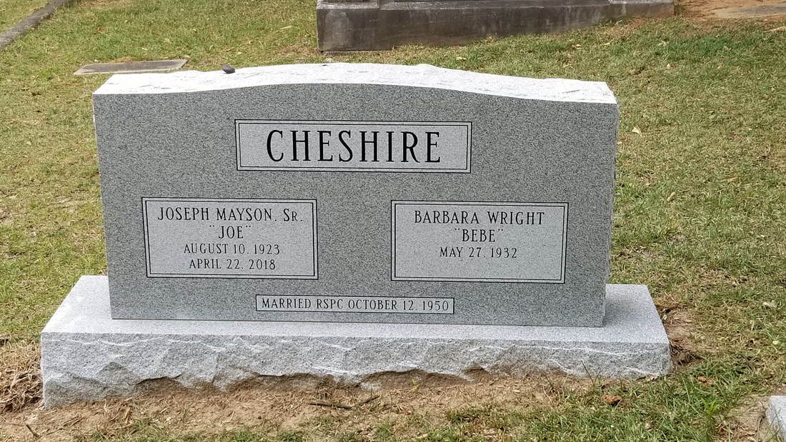
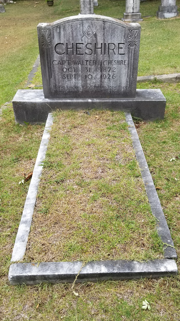
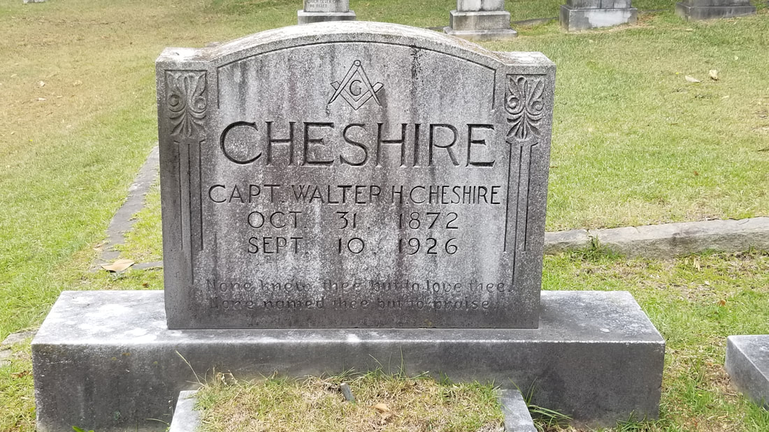
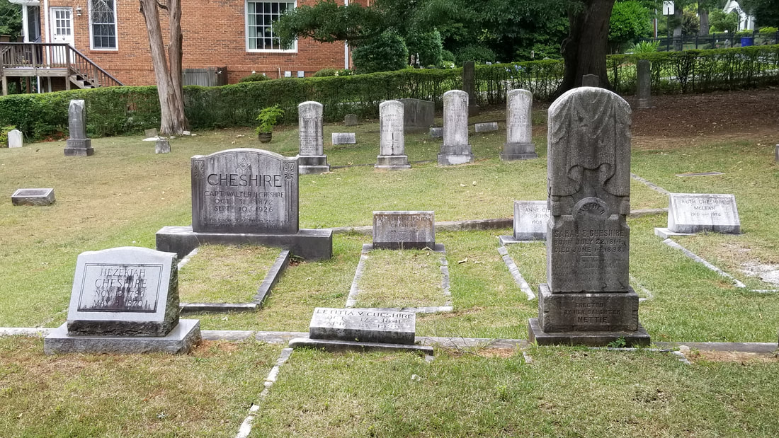
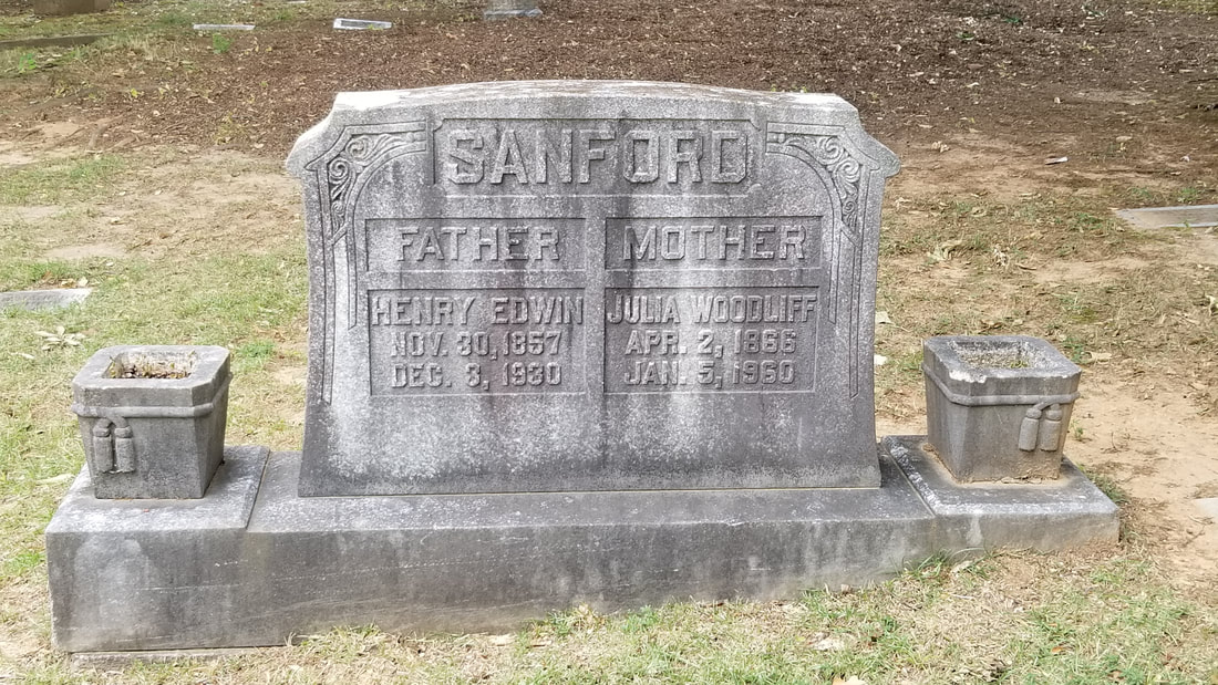
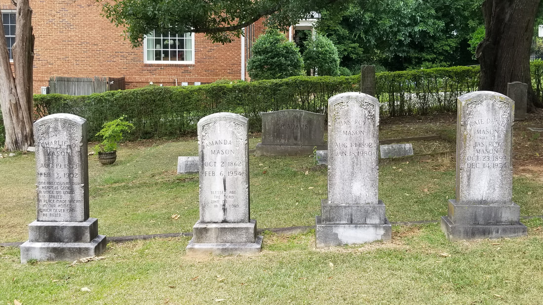
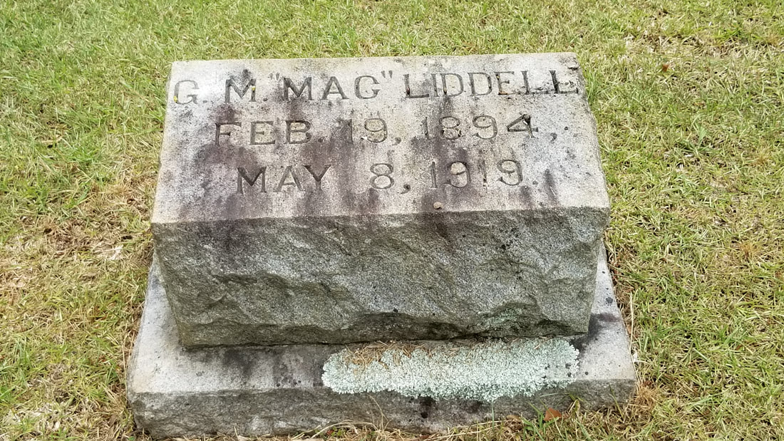
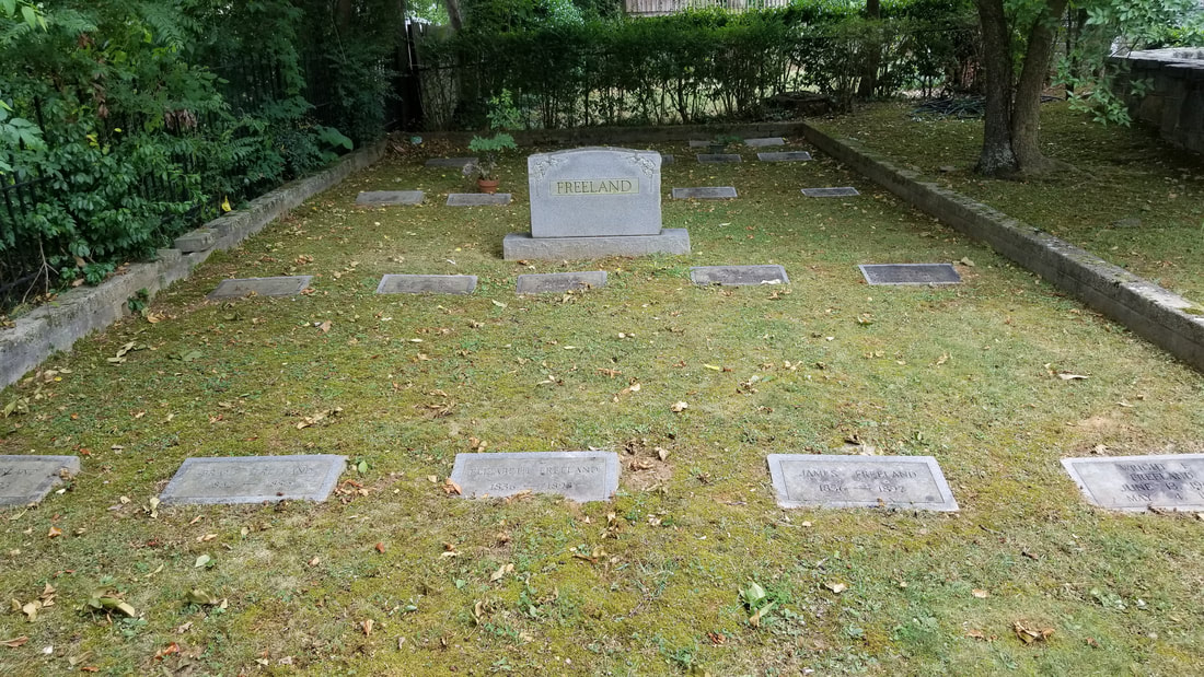
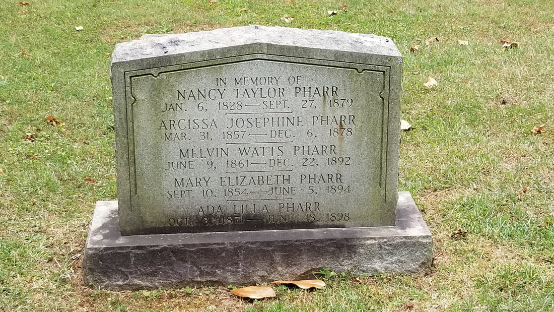
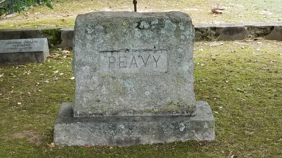
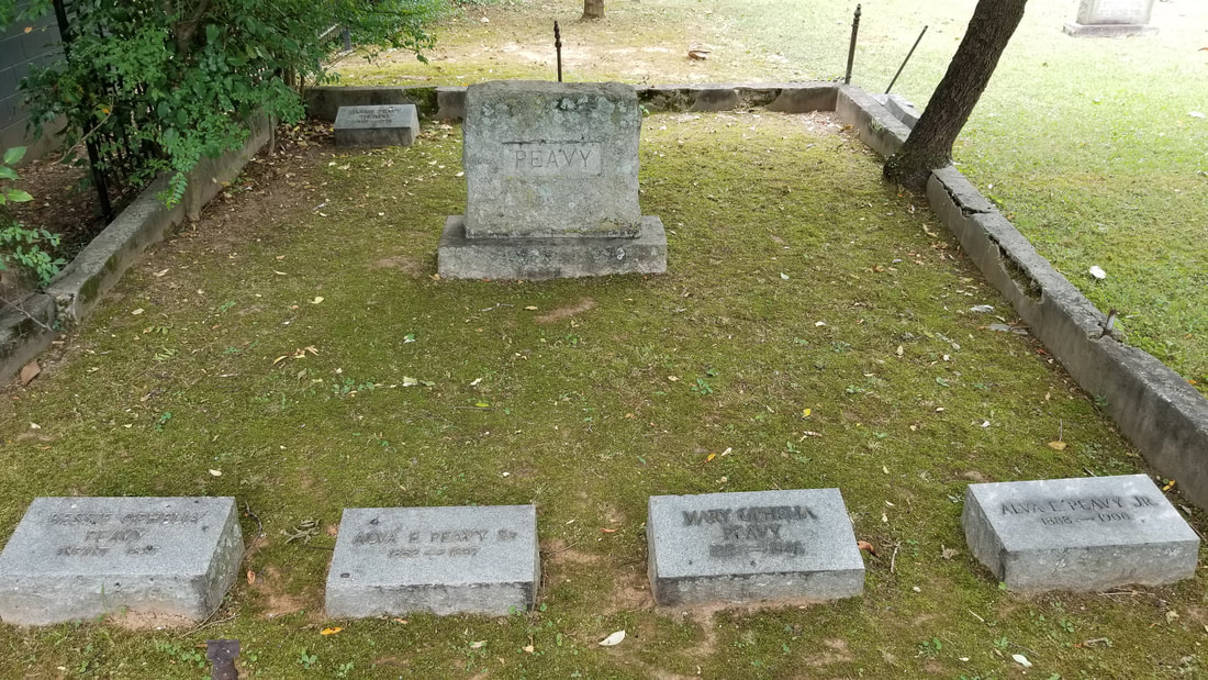
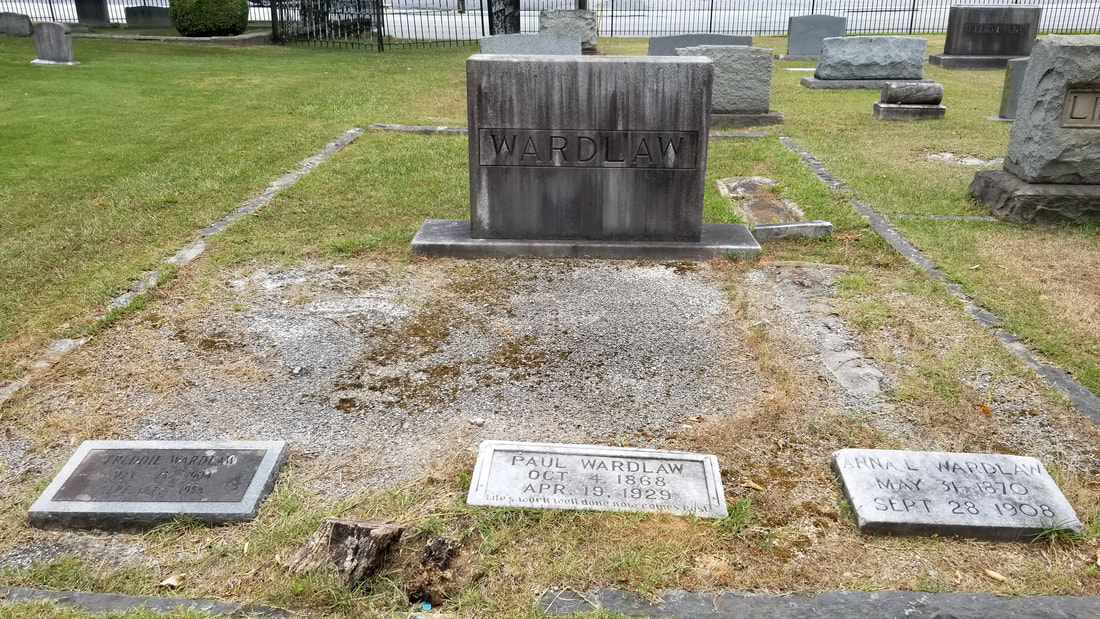
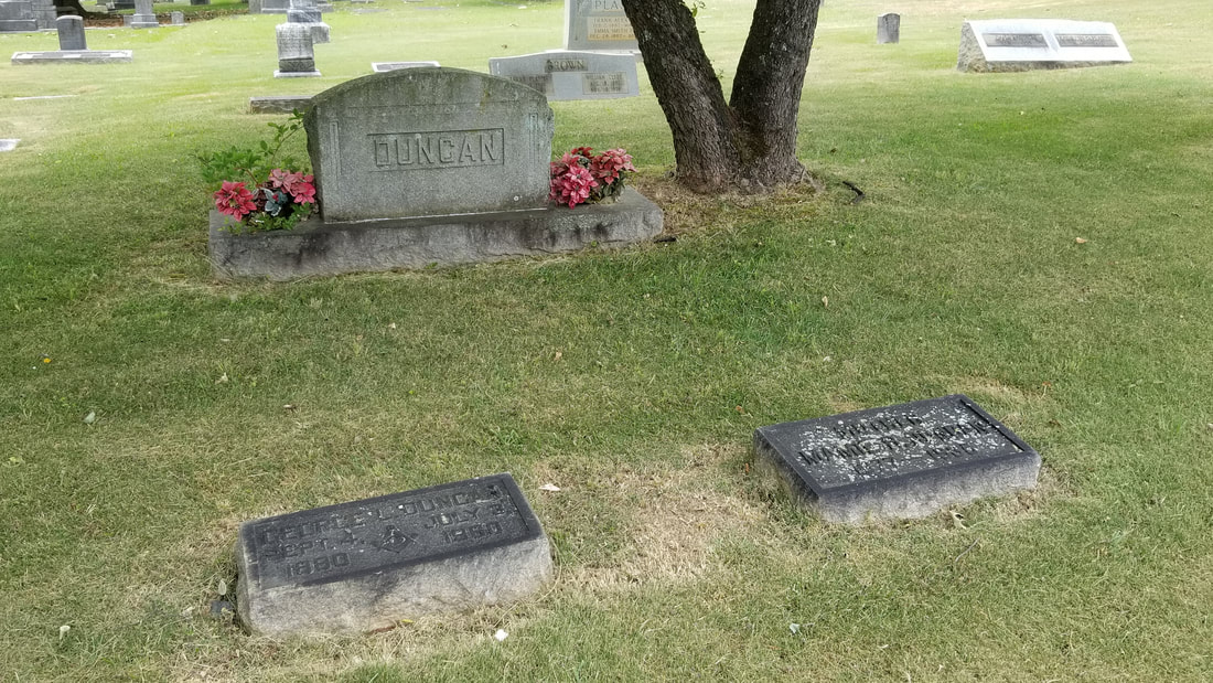
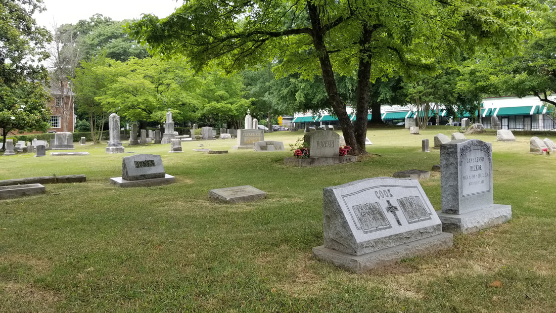
Rock Spring Presbyterian Cemetery


* Photos taken on various visits to the neighborhood in preparation for the 6.22.19 tour
|
Piedmont Heights Tour was created by ATLsherpaPlease subscribe to my complimentary podcast & newsletter for updates and access to new educational tools. Thank you.
|
